247 N Polk St Eugene, OR 97402
Whiteaker NeighborhoodEstimated Value: $439,000 - $482,000
5
Beds
2
Baths
1,569
Sq Ft
$291/Sq Ft
Est. Value
About This Home
This home is located at 247 N Polk St, Eugene, OR 97402 and is currently estimated at $457,279, approximately $291 per square foot. 247 N Polk St is a home located in Lane County with nearby schools including River Road/El Camino del Río Elementary School, Kelly Middle School, and North Eugene High School.
Ownership History
Date
Name
Owned For
Owner Type
Purchase Details
Closed on
Dec 3, 2020
Sold by
Uhler Robert D and Uhler Marshall Living Trus
Bought by
Mcdougal Adora A
Current Estimated Value
Home Financials for this Owner
Home Financials are based on the most recent Mortgage that was taken out on this home.
Original Mortgage
$250,000
Outstanding Balance
$221,956
Interest Rate
2.8%
Mortgage Type
New Conventional
Estimated Equity
$235,323
Purchase Details
Closed on
Sep 16, 2016
Sold by
Uhler Robert D
Bought by
Uhler Robert D and Marshall Joy E
Create a Home Valuation Report for This Property
The Home Valuation Report is an in-depth analysis detailing your home's value as well as a comparison with similar homes in the area
Home Values in the Area
Average Home Value in this Area
Purchase History
| Date | Buyer | Sale Price | Title Company |
|---|---|---|---|
| Mcdougal Adora A | $350,000 | First American | |
| Uhler Robert D | -- | None Available |
Source: Public Records
Mortgage History
| Date | Status | Borrower | Loan Amount |
|---|---|---|---|
| Open | Mcdougal Adora A | $250,000 |
Source: Public Records
Tax History
| Year | Tax Paid | Tax Assessment Tax Assessment Total Assessment is a certain percentage of the fair market value that is determined by local assessors to be the total taxable value of land and additions on the property. | Land | Improvement |
|---|---|---|---|---|
| 2025 | $3,726 | $191,229 | -- | -- |
| 2024 | $3,680 | $185,660 | -- | -- |
| 2023 | $3,680 | $180,253 | $0 | $0 |
| 2022 | $3,447 | $175,003 | $0 | $0 |
| 2021 | $3,238 | $169,906 | $0 | $0 |
| 2020 | $3,249 | $164,958 | $0 | $0 |
| 2019 | $3,138 | $160,154 | $0 | $0 |
| 2018 | $2,954 | $150,961 | $0 | $0 |
| 2017 | $2,821 | $150,961 | $0 | $0 |
| 2016 | $2,751 | $146,564 | $0 | $0 |
| 2015 | $2,672 | $142,295 | $0 | $0 |
| 2014 | $2,619 | $138,150 | $0 | $0 |
Source: Public Records
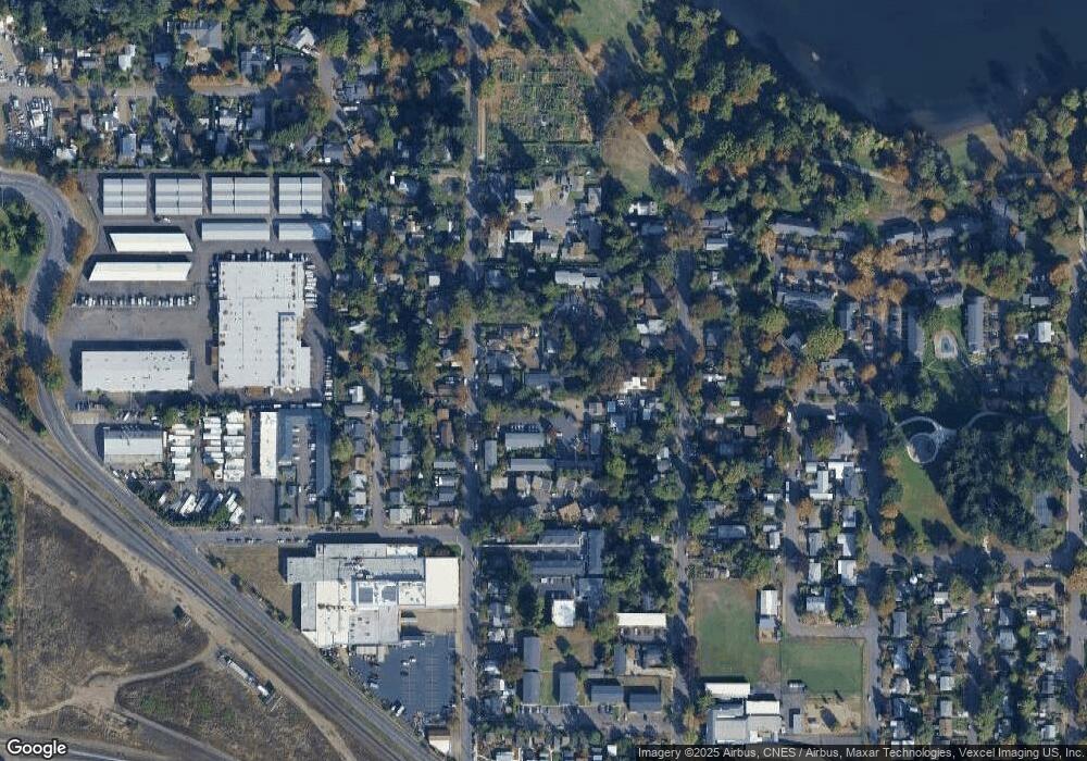
Map
Nearby Homes
- 325 River Rd
- 104 Holeman Ave
- 9 N Monroe St Unit C
- 9 N Monroe St Unit B
- 9 N Monroe St Unit D
- 9 N Monroe St Unit A
- 144 Briarcliff Dr
- 211 Monroe St
- 1391 W 5th Ave
- 461 Blair Blvd
- 5713 Durst St
- 1030 W 5th Ave
- 0 River Rd Unit 634143722
- 710 Van Buren St
- 1230 W 7th Ave
- 561 Madison St
- 168 150 N Cleveland St
- 168 N Cleveland St
- 561 577 Madison St
- 577 Madison St
- 245 N Polk St
- 243 N Polk St
- 271 N Polk St
- 1280 Bailey Ave
- 273 N Polk St
- 181 N Polk St Unit 1
- 1260 Bailey Ave
- 1275 Bailey Ave
- 275 N Polk St
- 1265 Bailey Ave
- 250 N Polk St
- 190 N Polk St
- 1261 Bailey Ave
- 180 N Polk St
- 256 N Grand St
- 176 N Polk St Unit 1
- 176 N Polk St Unit 1 & 2
- 176 N Polk St
- 283 N Polk St
- 300 N Grand St
Your Personal Tour Guide
Ask me questions while you tour the home.