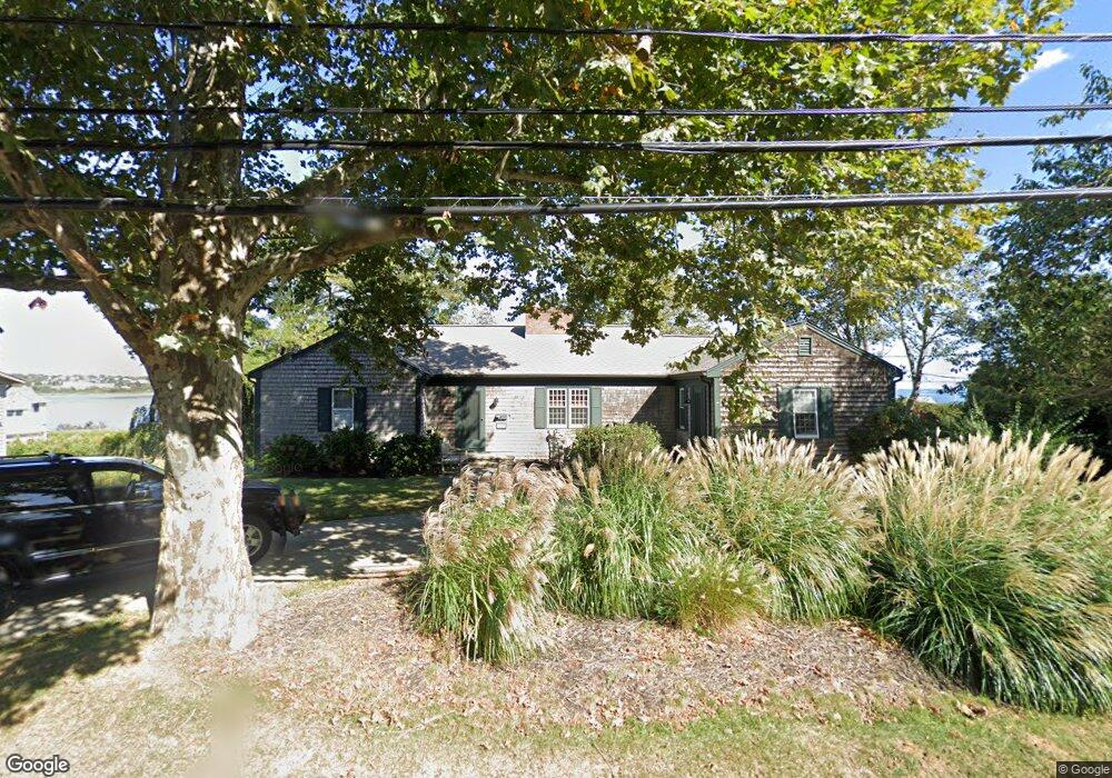
248 Eustis Ave Newport, RI 02840
Old Beach NeighborhoodEstimated Value: $1,545,000 - $4,130,000
3
Beds
4
Baths
3,680
Sq Ft
$720/Sq Ft
Est. Value
About This Home
This home is located at 248 Eustis Ave, Newport, RI 02840 and is currently estimated at $2,649,070, approximately $719 per square foot. 248 Eustis Ave is a home located in Newport County with nearby schools including Rogers High School, St Michael's Country Day School, and St George's School.
Ownership History
Date
Name
Owned For
Owner Type
Purchase Details
Closed on
May 8, 1992
Sold by
Maloney Mary B
Bought by
Kennedy C Patrick
Current Estimated Value
Home Financials for this Owner
Home Financials are based on the most recent Mortgage that was taken out on this home.
Original Mortgage
$129,000
Interest Rate
8.91%
Mortgage Type
Purchase Money Mortgage
Create a Home Valuation Report for This Property
The Home Valuation Report is an in-depth analysis detailing your home's value as well as a comparison with similar homes in the area
Home Values in the Area
Average Home Value in this Area
Purchase History
| Date | Buyer | Sale Price | Title Company |
|---|---|---|---|
| Kennedy C Patrick | $215,000 | -- |
Source: Public Records
Mortgage History
| Date | Status | Borrower | Loan Amount |
|---|---|---|---|
| Open | Kennedy C Patrick | $300,000 | |
| Closed | Kennedy C Patrick | $101,400 | |
| Closed | Kennedy C Patrick | $129,000 |
Source: Public Records
Tax History
| Year | Tax Paid | Tax Assessment Tax Assessment Total Assessment is a certain percentage of the fair market value that is determined by local assessors to be the total taxable value of land and additions on the property. | Land | Improvement |
|---|---|---|---|---|
| 2025 | $12,939 | $1,802,100 | $1,331,800 | $470,300 |
| 2024 | $12,561 | $1,802,100 | $1,331,800 | $470,300 |
| 2023 | $11,402 | $1,149,400 | $870,700 | $278,700 |
| 2022 | $11,046 | $1,149,400 | $870,700 | $278,700 |
| 2021 | $10,724 | $1,149,400 | $870,700 | $278,700 |
| 2020 | $10,108 | $983,300 | $681,800 | $301,500 |
| 2019 | $10,108 | $983,300 | $681,800 | $301,500 |
| 2018 | $9,823 | $983,300 | $681,800 | $301,500 |
| 2017 | $8,493 | $757,600 | $495,900 | $261,700 |
| 2016 | $8,281 | $757,600 | $495,900 | $261,700 |
| 2015 | $8,084 | $757,600 | $495,900 | $261,700 |
| 2014 | $8,027 | $665,600 | $421,500 | $244,100 |
Source: Public Records
Map
Nearby Homes
- 1 Oakwood Terrace Unit 7
- 4 Red Cross Ave Unit 4
- 7 Red Cross Ave
- 5 Dresser St
- 5 Lowndes St
- 24 Old Beach Rd
- 28 Weaver Ave
- 17 Old Beach Rd
- 131 Eustis Ave
- 21 Slocum St
- 26 Freebody St
- 19 Slocum St
- 10 Ocean Lawn Ln
- 20 Berkeley Ave Unit 2
- 1 Pell St
- 78 Rhode Island Ave Unit 6
- 78 Rhode Island Ave Unit 8
- 198 Gibbs Ave
- 78 Ellery Rd
- 129 Bliss Mine Rd
- 124 Memorial Blvd
- 242 Eustis Ave
- 132 Memorial Blvd
- 245 Eustis Ave Unit C
- 245 Eustis Ave Unit A
- 245 Eustis Ave Unit E
- 245 Eustis Ave Unit D
- 245 Eustis Ave Unit B
- 247 Eustis Ave
- 185 Old Beach Rd
- 239 Eustis Ave
- 239 Eustis Ave Unit A
- 183 Old Beach Rd
- 191 Old Beach Rd
- 235 Eustis Ave
- 230 Eustis Ave
- 460 Gibbs Ave Unit D
- 460 Gibbs Ave Unit C
- 460 Gibbs Ave Unit B
- 460 Gibbs Ave Unit A
Your Personal Tour Guide
Ask me questions while you tour the home.