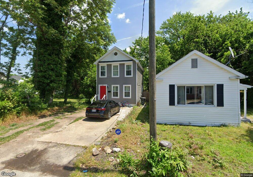
25 Bacon St Hampton, VA 23669
Olde Hampton NeighborhoodEstimated Value: $244,000 - $266,000
3
Beds
2
Baths
1,700
Sq Ft
$149/Sq Ft
Est. Value
About This Home
This home is located at 25 Bacon St, Hampton, VA 23669 and is currently estimated at $254,124, approximately $149 per square foot. 25 Bacon St is a home located in Hampton City with nearby schools including Bassette Elementary School, C. Alton Lindsay Middle School, and Phoebus High School.
Ownership History
Date
Name
Owned For
Owner Type
Purchase Details
Closed on
Nov 24, 2021
Sold by
Vfi Inc
Bought by
Davis Shaun
Current Estimated Value
Home Financials for this Owner
Home Financials are based on the most recent Mortgage that was taken out on this home.
Original Mortgage
$209,715
Outstanding Balance
$192,831
Interest Rate
3.09%
Mortgage Type
VA
Estimated Equity
$61,293
Purchase Details
Closed on
Aug 2, 2021
Sold by
Haskins Nelson and Haskins Ida
Bought by
757Pros
Home Financials for this Owner
Home Financials are based on the most recent Mortgage that was taken out on this home.
Original Mortgage
$127,000
Interest Rate
2.93%
Mortgage Type
Commercial
Create a Home Valuation Report for This Property
The Home Valuation Report is an in-depth analysis detailing your home's value as well as a comparison with similar homes in the area
Home Values in the Area
Average Home Value in this Area
Purchase History
| Date | Buyer | Sale Price | Title Company |
|---|---|---|---|
| Davis Shaun | $205,000 | Attorney | |
| 757Pros | $80,000 | None Available |
Source: Public Records
Mortgage History
| Date | Status | Borrower | Loan Amount |
|---|---|---|---|
| Open | Davis Shaun | $209,715 | |
| Previous Owner | 757Pros | $127,000 |
Source: Public Records
Tax History
| Year | Tax Paid | Tax Assessment Tax Assessment Total Assessment is a certain percentage of the fair market value that is determined by local assessors to be the total taxable value of land and additions on the property. | Land | Improvement |
|---|---|---|---|---|
| 2025 | $3,040 | $256,100 | $41,300 | $214,800 |
| 2024 | $2,865 | $249,100 | $33,800 | $215,300 |
| 2023 | $2,464 | $212,400 | $33,800 | $178,600 |
| 2022 | $2,428 | $205,800 | $33,800 | $172,000 |
| 2021 | $1,731 | $129,100 | $17,200 | $111,900 |
| 2020 | $1,219 | $98,300 | $17,200 | $81,100 |
| 2019 | $1,219 | $98,300 | $17,200 | $81,100 |
| 2018 | $1,313 | $98,300 | $17,200 | $81,100 |
| 2017 | $1,313 | $0 | $0 | $0 |
| 2016 | $1,313 | $98,300 | $0 | $0 |
| 2015 | $1,313 | $0 | $0 | $0 |
| 2014 | $1,303 | $98,300 | $17,200 | $81,100 |
Source: Public Records
Map
Nearby Homes
- 27 Bacon St
- 144 Meredith St
- 357 W Queen St
- 363 W Queen St
- 373 W Queen St
- 241 Newport News Ave
- 381 W Queen St
- 358 Lincoln St
- 430 Newport News Ave
- 116 Linden Ave
- 382 Union St
- 4408 Victoria Blvd
- 28 Maplewood St
- 512 Lee St
- 19 Maplewood St
- 163 Columbia Ave
- 159 Columbia Ave
- 3912 Victoria Blvd
- 622 Chapel St
- 460 England Ave
- 29 Bacon St
- 407 Settlers Landing Rd
- 403 Settlers Landing Rd
- 401 Settlers Landing Rd
- 225 W Queen St
- 229 W Queen St
- 409 Settlers Landing Rd
- 221 W Queen St
- 28 Bacon St
- 24 Bacon St
- 235 W Queen St
- 335 Settlers Landing Rd
- 231 W Queen St
- 239 W Queen St
- 30 S Armistead Ave
- 243 W Queen St
- 331 Settlers Landing Rd
- 329 Settlers Landing Rd
- 12 S Armistead Ave
- 2 S Armistead Ave
Your Personal Tour Guide
Ask me questions while you tour the home.