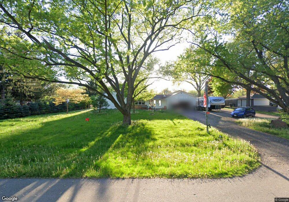
25 N West Dr Oswego, IL 60543
Northwest Oswego NeighborhoodEstimated Value: $285,692 - $356,000
2
Beds
1
Bath
1,076
Sq Ft
$302/Sq Ft
Est. Value
About This Home
This home is located at 25 N West Dr, Oswego, IL 60543 and is currently estimated at $325,423, approximately $302 per square foot. 25 N West Dr is a home located in Kendall County with nearby schools including Fox Chase Elementary School, Traughber Junior High School, and Oswego High School.
Ownership History
Date
Name
Owned For
Owner Type
Purchase Details
Closed on
Jul 19, 2023
Sold by
Cunningham Dennis
Bought by
Pickett Teresa S
Current Estimated Value
Purchase Details
Closed on
Nov 11, 2014
Sold by
Cunningham Clarence L and Cunningham Kathryn D
Bought by
Cunningham Dennis L
Purchase Details
Closed on
Dec 7, 2009
Sold by
Cunningham Clarence L and Cunningham Kathryn D
Bought by
Cunningham Clarence L and Cunningham Kathryn D
Purchase Details
Closed on
Jul 28, 1999
Sold by
Eckles Frazer
Bought by
Cunningham Clarence L and Cunningham Kathryn L
Create a Home Valuation Report for This Property
The Home Valuation Report is an in-depth analysis detailing your home's value as well as a comparison with similar homes in the area
Home Values in the Area
Average Home Value in this Area
Purchase History
| Date | Buyer | Sale Price | Title Company |
|---|---|---|---|
| Pickett Teresa S | -- | None Listed On Document | |
| Cunningham Dennis L | -- | None Available | |
| Cunningham Clarence L | -- | None Available | |
| Cunningham Clarence L | $123,000 | Law Title Insurance Company |
Source: Public Records
Tax History
| Year | Tax Paid | Tax Assessment Tax Assessment Total Assessment is a certain percentage of the fair market value that is determined by local assessors to be the total taxable value of land and additions on the property. | Land | Improvement |
|---|---|---|---|---|
| 2024 | $6,829 | $92,269 | $24,394 | $67,875 |
| 2023 | $0 | $80,234 | $21,212 | $59,022 |
| 2022 | $5,861 | $76,981 | $20,796 | $56,185 |
| 2021 | $5,430 | $69,982 | $18,905 | $51,077 |
| 2020 | $5,116 | $66,021 | $17,835 | $48,186 |
| 2019 | $5,198 | $66,021 | $17,835 | $48,186 |
| 2018 | $5,709 | $66,021 | $17,835 | $48,186 |
| 2017 | $5,510 | $60,569 | $16,362 | $44,207 |
| 2016 | $5,411 | $58,804 | $15,885 | $42,919 |
| 2015 | $5,494 | $57,091 | $15,422 | $41,669 |
| 2014 | -- | $53,859 | $14,549 | $39,310 |
| 2013 | -- | $54,403 | $14,696 | $39,707 |
Source: Public Records
Map
Nearby Homes
- 130 W Harvest Ct
- 187 Eisenhower Dr
- 114 Riverview Ct
- 548 Arbor Ln
- 125 Presidential Blvd Unit 3248
- 38 Walnut Creek Ln
- 505 Parkland Ct
- 238 Willowwood Dr
- 316 Ash Grove Ln
- 268 S Adams St
- 1 S Orchard Rd
- 404 Beaver Ct Unit 3
- 303 Fox Chase Dr N
- 371 S Madison St
- LOT 10 SW Station Dr
- 238 Cooney Way
- 239 Cooney Way
- 403 Tanya Ln
- 343 Danforth Dr
- 713 Erwin St
Your Personal Tour Guide
Ask me questions while you tour the home.