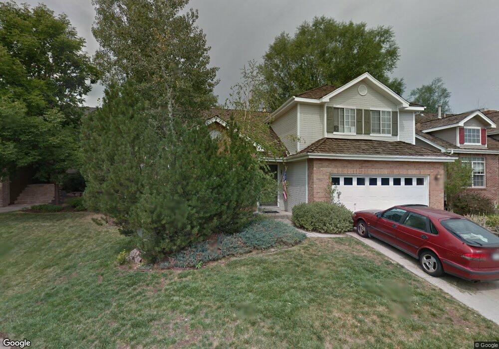
25 Penstemon Littleton, CO 80127
Ken Caryl Ranch NeighborhoodEstimated Value: $819,883 - $917,000
3
Beds
5
Baths
1,880
Sq Ft
$467/Sq Ft
Est. Value
About This Home
This home is located at 25 Penstemon, Littleton, CO 80127 and is currently estimated at $877,221, approximately $466 per square foot. 25 Penstemon is a home located in Jefferson County with nearby schools including Bradford K8 South, Bradford K8 North, and Chatfield High School.
Ownership History
Date
Name
Owned For
Owner Type
Purchase Details
Closed on
Oct 28, 2002
Sold by
Johnson Linda F
Bought by
Fashbaugh Linda C
Current Estimated Value
Home Financials for this Owner
Home Financials are based on the most recent Mortgage that was taken out on this home.
Original Mortgage
$204,750
Outstanding Balance
$106,498
Interest Rate
10.5%
Estimated Equity
$770,723
Purchase Details
Closed on
Dec 26, 2001
Sold by
Johnson Kenneth D and Johnson Linda F
Bought by
Johnson Linda F
Purchase Details
Closed on
Dec 15, 1993
Sold by
Berry Richard D and Berry Mary Ann T
Bought by
Johnson Kenneth D and Johnson Linda F
Home Financials for this Owner
Home Financials are based on the most recent Mortgage that was taken out on this home.
Original Mortgage
$169,200
Interest Rate
7.19%
Mortgage Type
Assumption
Create a Home Valuation Report for This Property
The Home Valuation Report is an in-depth analysis detailing your home's value as well as a comparison with similar homes in the area
Home Values in the Area
Average Home Value in this Area
Purchase History
| Date | Buyer | Sale Price | Title Company |
|---|---|---|---|
| Fashbaugh Linda C | -- | First American Heritage Titl | |
| Johnson Linda F | -- | -- | |
| Johnson Kenneth D | $165,900 | First American Heritage Titl |
Source: Public Records
Mortgage History
| Date | Status | Borrower | Loan Amount |
|---|---|---|---|
| Open | Fashbaugh Linda C | $204,750 | |
| Previous Owner | Johnson Kenneth D | $169,200 |
Source: Public Records
Tax History
| Year | Tax Paid | Tax Assessment Tax Assessment Total Assessment is a certain percentage of the fair market value that is determined by local assessors to be the total taxable value of land and additions on the property. | Land | Improvement |
|---|---|---|---|---|
| 2025 | $5,116 | $52,664 | $19,514 | $33,150 |
| 2024 | $4,209 | $46,012 | $15,081 | $30,931 |
| 2023 | $4,209 | $46,012 | $15,081 | $30,931 |
| 2022 | $3,688 | $40,644 | $13,274 | $27,370 |
| 2021 | $3,745 | $41,814 | $13,656 | $28,158 |
| 2020 | $3,198 | $36,850 | $10,641 | $26,209 |
| 2019 | $3,921 | $36,850 | $10,641 | $26,209 |
| 2018 | $3,716 | $33,727 | $10,643 | $23,084 |
| 2017 | $3,456 | $33,727 | $10,643 | $23,084 |
| 2016 | $3,568 | $32,957 | $11,163 | $21,794 |
| 2015 | $3,046 | $32,957 | $11,163 | $21,794 |
| 2014 | $3,046 | $26,507 | $8,995 | $17,512 |
Source: Public Records
Map
Nearby Homes
- 68 Deerwood Dr
- 46 Mountain Laurel Dr
- 173 Willowleaf Dr
- 18 Prairie Clover
- 11 Long Spur
- 132 Willowleaf Dr
- 6 Manzanita
- 28 Willowleaf Dr
- 42 Dawn Heath Cir
- 73 Buckthorn Dr
- 23 N Ranch Rd
- 7 Vinca
- 49 Buckthorn Dr
- 4 Blue Grouse Ridge Rd
- 1 Snowy Owl Ln
- 5 Porcupine Ln
- 47 Golden Eagle Ln
- 12 Mourning Dove Ln
- 33 Lark Bunting Ln
- 37 Elk Ln
Your Personal Tour Guide
Ask me questions while you tour the home.