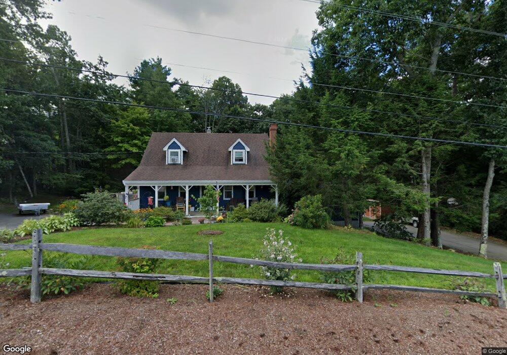
250 Prescott Rd Epping, NH 03042
Estimated Value: $647,869 - $771,000
4
Beds
3
Baths
2,864
Sq Ft
$250/Sq Ft
Est. Value
About This Home
This home is located at 250 Prescott Rd, Epping, NH 03042 and is currently estimated at $717,217, approximately $250 per square foot. 250 Prescott Rd is a home located in Rockingham County with nearby schools including Epping Elementary School, Epping Middle School, and Epping High School.
Ownership History
Date
Name
Owned For
Owner Type
Purchase Details
Closed on
Dec 30, 2015
Sold by
Difrancesco John M and Difrancesco Linda A
Bought by
Difrancesco Ft and Difrancesco John M
Current Estimated Value
Purchase Details
Closed on
Jul 31, 1996
Sold by
Weeden James E and Weeden Susan H
Bought by
Difrancesco John M and Difrancesco Linda A
Create a Home Valuation Report for This Property
The Home Valuation Report is an in-depth analysis detailing your home's value as well as a comparison with similar homes in the area
Home Values in the Area
Average Home Value in this Area
Purchase History
| Date | Buyer | Sale Price | Title Company |
|---|---|---|---|
| Difrancesco Ft | -- | -- | |
| Difrancesco John M | $152,900 | -- |
Source: Public Records
Mortgage History
| Date | Status | Borrower | Loan Amount |
|---|---|---|---|
| Previous Owner | Difrancesco John M | $19,000 | |
| Previous Owner | Difrancesco John M | $209,605 | |
| Previous Owner | Difrancesco John M | $171,000 | |
| Previous Owner | Difrancesco John M | $25,000 |
Source: Public Records
Tax History
| Year | Tax Paid | Tax Assessment Tax Assessment Total Assessment is a certain percentage of the fair market value that is determined by local assessors to be the total taxable value of land and additions on the property. | Land | Improvement |
|---|---|---|---|---|
| 2024 | $9,734 | $385,800 | $104,300 | $281,500 |
| 2023 | $9,028 | $385,800 | $104,300 | $281,500 |
| 2022 | $8,078 | $359,200 | $104,300 | $254,900 |
| 2021 | $8,053 | $359,200 | $104,300 | $254,900 |
| 2020 | $8,491 | $359,200 | $104,300 | $254,900 |
| 2019 | $7,845 | $283,200 | $90,500 | $192,700 |
| 2018 | $7,346 | $283,200 | $90,500 | $192,700 |
| 2017 | $7,237 | $283,200 | $90,500 | $192,700 |
| 2016 | $7,346 | $283,200 | $90,500 | $192,700 |
| 2015 | $7,346 | $283,200 | $90,500 | $192,700 |
| 2014 | $6,513 | $266,700 | $90,500 | $176,200 |
| 2013 | $6,473 | $266,700 | $90,500 | $176,200 |
Source: Public Records
Map
Nearby Homes
- 1 Olde Bridge Ln
- 16 Molly Way
- lot 103 Megans Way Unit 103
- 8 Megans Way Unit 95
- 101 Megans Way Unit 101
- 96 Megans Way
- 97 Megans Way Unit 97
- 27 Old State Rd
- 3B Connor Ct Unit 3B
- 55 Sunset Ridge Rd Unit 55A
- 55 Sunset Ridge Rd Unit 55B
- 54 Sunset Ridge Rd Unit 54B
- 3A Connor Ct Unit 3A
- 1A Connor Ct Unit 1A
- 1B Connor Ct Unit 1B
- 65 Sunset Ridge Rd Unit 65A
- 65 Sunset Ridge Rd Unit 65B
- 63 Sunset Ridge Rd Unit 63A
- 63 Sunset Ridge Rd Unit 63B
- 5A Connor Ct Unit 5A
- 254 Prescott Rd
- 246 Prescott Rd
- 53 Orchard Hill Rd
- 240 Prescott Rd
- 33 Olde Bridge Ln
- 236 Prescott Rd
- 260 Prescott Rd Unit 7
- 260 Prescott Rd Unit B
- 260 Prescott Rd Unit B
- 260 Prescott Rd Unit A
- 260 Prescott Rd
- 261 Prescott Rd
- 48 Orchard Hill Rd
- 235 Prescott Rd
- 27 Olde Bridge Ln
- 46 Orchard Hill Rd
- 25 Olde Bridge Ln
- 35 Olde Bridge Ln
- 19 Olde Bridge Ln
- 263 Prescott Rd
Your Personal Tour Guide
Ask me questions while you tour the home.