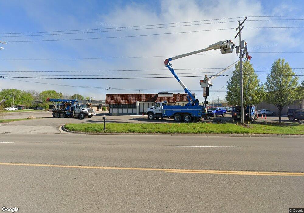
Estimated Value: $612,709
--
Bed
--
Bath
3,551
Sq Ft
$173/Sq Ft
Est. Value
About This Home
This home is located at 2500 W Hill Rd, Flint, MI 48507 and is currently estimated at $612,709, approximately $172 per square foot. 2500 W Hill Rd is a home located in Genesee County with nearby schools including Elms Road Elementary School, Syring Elementary School, and Morrish Elementary School.
Ownership History
Date
Name
Owned For
Owner Type
Purchase Details
Closed on
Apr 18, 2022
Sold by
Blessed Land Llc
Bought by
Rosales Llc
Current Estimated Value
Purchase Details
Closed on
Feb 9, 2016
Sold by
Firstmerit Bank Na
Bought by
Blessed Land Llc
Purchase Details
Closed on
Aug 6, 2014
Sold by
Torri Max Inc
Bought by
Firstmerit Bank Na
Purchase Details
Closed on
Dec 9, 2011
Sold by
Torri Max Inc
Bought by
Maxheimer Ronald J
Purchase Details
Closed on
Aug 24, 2001
Sold by
Maxheimer Ronald J and Maxheimer J R
Bought by
Torri Max Inc and Maxies
Create a Home Valuation Report for This Property
The Home Valuation Report is an in-depth analysis detailing your home's value as well as a comparison with similar homes in the area
Home Values in the Area
Average Home Value in this Area
Purchase History
| Date | Buyer | Sale Price | Title Company |
|---|---|---|---|
| Rosales Llc | $437,000 | First American Title | |
| Blessed Land Llc | $180,000 | Cislo Title Co | |
| Firstmerit Bank Na | $211,257 | None Available | |
| Maxheimer Ronald J | -- | None Available | |
| Torri Max Inc | -- | Cislo Title Company |
Source: Public Records
Tax History Compared to Growth
Tax History
| Year | Tax Paid | Tax Assessment Tax Assessment Total Assessment is a certain percentage of the fair market value that is determined by local assessors to be the total taxable value of land and additions on the property. | Land | Improvement |
|---|---|---|---|---|
| 2025 | $13,552 | $249,500 | $0 | $0 |
| 2024 | $10,275 | $246,400 | $0 | $0 |
| 2023 | $12,982 | $311,000 | $0 | $0 |
| 2022 | $15,674 | $310,000 | $0 | $0 |
| 2021 | $15,214 | $298,000 | $0 | $0 |
| 2020 | $11,587 | $296,400 | $0 | $0 |
| 2019 | $11,396 | $294,400 | $0 | $0 |
| 2018 | $13,162 | $267,600 | $0 | $0 |
| 2017 | $12,646 | $258,400 | $0 | $0 |
| 2016 | $12,192 | $254,200 | $0 | $0 |
| 2015 | $11,986 | $259,100 | $0 | $0 |
| 2014 | $9,215 | $244,400 | $0 | $0 |
| 2012 | -- | $258,600 | $129,500 | $129,100 |
Source: Public Records
Map
Nearby Homes
- 3040 W Hill Rd
- 5374 Torrey Rd
- 5131 Gateway Centre Blvd
- 2144 W Hill Rd
- 6042 Birch Dr
- 0 Taylor Dr Unit 50159493
- 2051 W Maple Ave
- 4460 Torrey Rd
- 3351 Reid Rd
- 3413 Reid Rd
- 6095 Weyerbacher Dr
- 1380 Sunset Blvd
- 6123 King Arthur Dr
- 4505 Old Carriage Rd
- 1195 Alton Ave
- 1283 Woodnoll Dr
- 1256 W Rowland St
- 0000 Torrey Rd
- 00 Torrey Rd
- 6050 Coventry Dr
- 00 Torrey Rd
- 5506 Torrey Rd
- 5496 Torrey Rd
- 5476 Torrey Rd
- 2479 W Hill Rd
- 5466 Torrey Rd
- 2474 W Hill Rd
- 6039 Torrey Rd
- 3041 W Hill Rd
- 6004 Torrey Rd
- 5448 Torrey Rd
- 5433 Torrey Rd
- 3045 W Hill Rd
- 6049 Torrey Rd
- 3060 W Hill Rd
- 6060 Torrey Rd
- 6060 Torrey Rd Unit Suite 1 & 2
- 6060 Torrey Rd Unit Execusuite I-104
- 6060 Torrey Rd Unit Execusuites Unit 10
- 6060 Torrey Rd Unit Suite B
