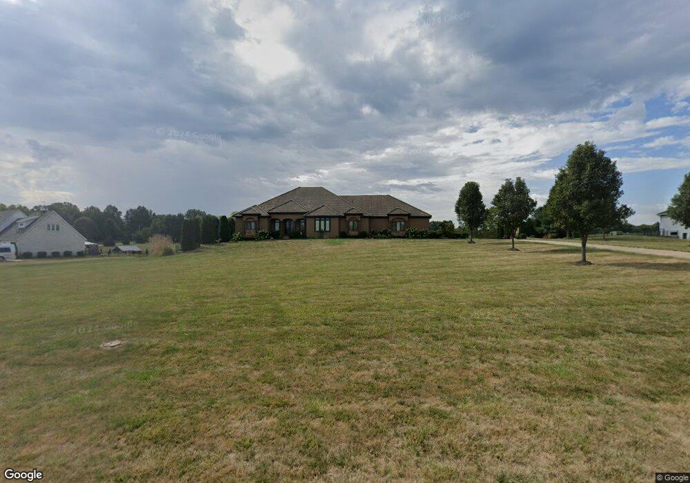
25007 101st St Lees Summit, MO 64086
Estimated Value: $908,000 - $988,654
5
Beds
6
Baths
3,046
Sq Ft
$309/Sq Ft
Est. Value
About This Home
This home is located at 25007 101st St, Lees Summit, MO 64086 and is currently estimated at $940,885, approximately $308 per square foot. 25007 101st St is a home located in Jackson County with nearby schools including Mason Elementary School, Bernard C. Campbell Middle School, and Lee's Summit North High School.
Ownership History
Date
Name
Owned For
Owner Type
Purchase Details
Closed on
Aug 6, 2009
Sold by
Creative Designs Llc
Bought by
Jordan Carrie
Current Estimated Value
Home Financials for this Owner
Home Financials are based on the most recent Mortgage that was taken out on this home.
Original Mortgage
$417,000
Outstanding Balance
$271,609
Interest Rate
5.19%
Mortgage Type
Purchase Money Mortgage
Estimated Equity
$669,276
Purchase Details
Closed on
Aug 23, 2007
Sold by
Froehlich Steven J and Froehlich Tami
Bought by
Creative Designs Llc
Purchase Details
Closed on
Jun 5, 2007
Sold by
George T Ward Builders Inc
Bought by
Froehlich Steven J
Create a Home Valuation Report for This Property
The Home Valuation Report is an in-depth analysis detailing your home's value as well as a comparison with similar homes in the area
Purchase History
| Date | Buyer | Sale Price | Title Company |
|---|---|---|---|
| Jordan Carrie | -- | None Available | |
| Creative Designs Llc | -- | None Available | |
| Froehlich Steven J | -- | First American Title |
Source: Public Records
Mortgage History
| Date | Status | Borrower | Loan Amount |
|---|---|---|---|
| Open | Jordan Carrie | $417,000 |
Source: Public Records
Tax History
| Year | Tax Paid | Tax Assessment Tax Assessment Total Assessment is a certain percentage of the fair market value that is determined by local assessors to be the total taxable value of land and additions on the property. | Land | Improvement |
|---|---|---|---|---|
| 2025 | $13,457 | $151,266 | $24,333 | $126,933 |
| 2024 | $13,320 | $193,040 | $20,235 | $172,805 |
| 2023 | $13,320 | $193,040 | $32,910 | $160,130 |
| 2022 | $8,970 | $114,380 | $17,094 | $97,286 |
| 2021 | $8,578 | $114,380 | $17,094 | $97,286 |
| 2020 | $8,327 | $106,894 | $17,094 | $89,800 |
| 2019 | $8,138 | $135,238 | $17,094 | $118,144 |
| 2018 | $9,647 | $117,701 | $14,877 | $102,824 |
| 2017 | $9,647 | $117,701 | $14,877 | $102,824 |
| 2016 | $9,466 | $114,437 | $17,936 | $96,501 |
Source: Public Records
Map
Nearby Homes
- 10304 Howard Rd
- 25408 NE Colbern Rd
- 10705 Wildflower Dr
- 8 U St
- 19 U St
- 1121 SW Brookside Ct
- 1101 SW Brookside Ct
- 9312 Cyclone School Rd
- 1058 SW Conch Way
- 0000 S St
- 1108 SW Whispering Willow Way
- 20 H St
- 1600 NE Woodland Shores Cir
- 41 I St
- 503 NE Legacy Wood Cir
- 904 SW Peach Tree Ln
- 911 SW Peach Tree Ln
- 1700 NE Woodland Shores Ln
- 2624 NE Woodland Oak Dr
- 2501 NE Dale Hunter Trail
- 25105 E 101 St
- 24909 101st St
- 25000 101st St
- 25106 101st St
- 24901 101st St
- 10109 Howard Rd
- 10117 Howard Rd
- 24904 101st St
- 10210 Howard Rd
- 10125 Howard Rd
- 10008 Howard Rd
- 10013 Howard Rd
- 24807 101st St
- 10207 Howard Rd
- 24806 101st St
- 10215 Howard Rd
- 10005 Howard Rd
- 25305 E 99th St
- 10226 Howard Rd
- 10223 Howard Rd
Your Personal Tour Guide
Ask me questions while you tour the home.