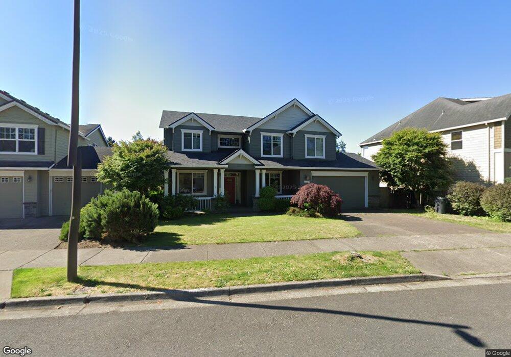
2507 Crestview Dr West Linn, OR 97068
Tanner Basin NeighborhoodEstimated Value: $877,005 - $1,335,000
5
Beds
3
Baths
3,198
Sq Ft
$318/Sq Ft
Est. Value
About This Home
This home is located at 2507 Crestview Dr, West Linn, OR 97068 and is currently estimated at $1,017,751, approximately $318 per square foot. 2507 Crestview Dr is a home located in Clackamas County with nearby schools including Trillium Creek Primary School, Rosemont Ridge Middle School, and West Linn High School.
Ownership History
Date
Name
Owned For
Owner Type
Purchase Details
Closed on
May 27, 2022
Sold by
David Roethe
Bought by
Parecki Daniel and Parecki Genevieve
Current Estimated Value
Home Financials for this Owner
Home Financials are based on the most recent Mortgage that was taken out on this home.
Original Mortgage
$900,000
Outstanding Balance
$852,564
Interest Rate
5.1%
Mortgage Type
New Conventional
Estimated Equity
$165,187
Purchase Details
Closed on
Apr 4, 2000
Sold by
Marnella Llc
Bought by
Roethe David and Roethe Susan
Home Financials for this Owner
Home Financials are based on the most recent Mortgage that was taken out on this home.
Original Mortgage
$281,300
Interest Rate
7.89%
Create a Home Valuation Report for This Property
The Home Valuation Report is an in-depth analysis detailing your home's value as well as a comparison with similar homes in the area
Home Values in the Area
Average Home Value in this Area
Purchase History
| Date | Buyer | Sale Price | Title Company |
|---|---|---|---|
| Parecki Daniel | $900,000 | Old Republic Title | |
| Roethe David | $351,625 | Fidelity National Title Co |
Source: Public Records
Mortgage History
| Date | Status | Borrower | Loan Amount |
|---|---|---|---|
| Open | Parecki Daniel | $900,000 | |
| Previous Owner | Roethe David | $281,300 | |
| Closed | Roethe David | $35,150 |
Source: Public Records
Tax History Compared to Growth
Tax History
| Year | Tax Paid | Tax Assessment Tax Assessment Total Assessment is a certain percentage of the fair market value that is determined by local assessors to be the total taxable value of land and additions on the property. | Land | Improvement |
|---|---|---|---|---|
| 2025 | $10,250 | $531,885 | -- | -- |
| 2024 | $9,867 | $516,394 | -- | -- |
| 2023 | $9,867 | $501,354 | $0 | $0 |
| 2022 | $9,313 | $486,752 | $0 | $0 |
| 2021 | $8,590 | $472,575 | $0 | $0 |
| 2020 | $8,531 | $458,811 | $0 | $0 |
| 2019 | $8,154 | $445,448 | $0 | $0 |
| 2018 | $7,776 | $432,474 | $0 | $0 |
| 2017 | $7,493 | $419,878 | $0 | $0 |
| 2016 | $7,172 | $407,649 | $0 | $0 |
| 2015 | $6,833 | $395,776 | $0 | $0 |
| 2014 | $6,448 | $384,249 | $0 | $0 |
Source: Public Records
Map
Nearby Homes
- 2037 De Vries Way
- 2025 De Vries Way
- 23136 Bland Cir
- 23073 Bland Cir
- 23019 Bland Cir
- 2762 Dahlia Dr
- 22872 Weatherhill Rd
- 2285 Satter St
- 2258 Satter St
- 2311 Falcon Dr
- 2201 Satter St
- 3486 Chaparrel Loop
- 2155 Alpine Dr
- 3496 Chaparrel Loop
- Allstone Plan at Savannah Summit
- Milton Plan at Savannah Summit
- 23000 Bland Cir
- 2134 Eleanor Rd
- 2378 Falcon Dr
- 2050 Alpine Dr
- 2507 Crestview(relist)
- 2511 Crestview Dr
- 2495 Crestview Dr
- 2483 Crestview Dr
- 2990 Sunbreak Ln
- 2531 Crestview Dr
- 3086 Sunbreak Ln
- 2984 Sunbreak Ln
- 2512 Crestview Dr
- 2500 Crestview Dr
- 2524 Crestview Dr
- 2471 Crestview Dr
- 2498 Crestview Dr
- 2976 Sunbreak Ln
- 2536 Crestview Dr
- 2565 Crestview Dr
- 2486 Crestview Dr
- 2548 Crestview Dr
- 2469 Crestview Dr Unit Lot 6