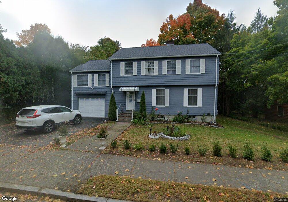
251 Waltham St Unit SF West Newton, MA 02465
West Newton NeighborhoodEstimated Value: $1,317,000 - $1,397,846
4
Beds
3
Baths
2,374
Sq Ft
$566/Sq Ft
Est. Value
About This Home
This home is located at 251 Waltham St Unit SF, West Newton, MA 02465 and is currently estimated at $1,343,712, approximately $566 per square foot. 251 Waltham St Unit SF is a home located in Middlesex County with nearby schools including Franklin Elementary School, F.A. Day Middle School, and Newton North High School.
Ownership History
Date
Name
Owned For
Owner Type
Purchase Details
Closed on
Oct 24, 2025
Sold by
Okumus Ariolis G
Bought by
Majumdar Dyuti P and Mukhina Olga
Current Estimated Value
Home Financials for this Owner
Home Financials are based on the most recent Mortgage that was taken out on this home.
Original Mortgage
$800,000
Outstanding Balance
$799,124
Interest Rate
5.5%
Mortgage Type
Purchase Money Mortgage
Estimated Equity
$544,588
Purchase Details
Closed on
Aug 27, 2021
Sold by
Yu Kam H and Yu Suk Y
Bought by
Grullon-Okumus Ariolis
Home Financials for this Owner
Home Financials are based on the most recent Mortgage that was taken out on this home.
Original Mortgage
$550,000
Interest Rate
2.8%
Mortgage Type
Purchase Money Mortgage
Purchase Details
Closed on
Jan 3, 1996
Sold by
Chow Chok Wing and Chow Wai Kim
Bought by
Hu Kam H and Yu Suk Y
Create a Home Valuation Report for This Property
The Home Valuation Report is an in-depth analysis detailing your home's value as well as a comparison with similar homes in the area
Home Values in the Area
Average Home Value in this Area
Purchase History
| Date | Buyer | Sale Price | Title Company |
|---|---|---|---|
| Majumdar Dyuti P | $1,285,000 | -- | |
| Majumdar Dyuti P | $1,285,000 | -- | |
| Grullon-Okumus Ariolis | $1,160,000 | None Available | |
| Grullon-Okumus Ariolis | $1,160,000 | None Available | |
| Hu Kam H | $266,888 | -- | |
| Hu Kam H | $266,888 | -- |
Source: Public Records
Mortgage History
| Date | Status | Borrower | Loan Amount |
|---|---|---|---|
| Open | Majumdar Dyuti P | $800,000 | |
| Previous Owner | Grullon-Okumus Ariolis | $550,000 |
Source: Public Records
Tax History Compared to Growth
Tax History
| Year | Tax Paid | Tax Assessment Tax Assessment Total Assessment is a certain percentage of the fair market value that is determined by local assessors to be the total taxable value of land and additions on the property. | Land | Improvement |
|---|---|---|---|---|
| 2025 | $11,342 | $1,157,300 | $816,100 | $341,200 |
| 2024 | $10,966 | $1,123,600 | $792,300 | $331,300 |
| 2023 | $10,357 | $1,017,400 | $603,100 | $414,300 |
| 2022 | $9,340 | $887,800 | $558,400 | $329,400 |
| 2021 | $9,012 | $837,500 | $526,800 | $310,700 |
| 2020 | $8,744 | $837,500 | $526,800 | $310,700 |
| 2019 | $8,497 | $813,100 | $511,500 | $301,600 |
| 2018 | $8,099 | $748,500 | $462,300 | $286,200 |
| 2017 | $7,852 | $706,100 | $436,100 | $270,000 |
| 2016 | $7,510 | $659,900 | $407,600 | $252,300 |
| 2015 | $7,160 | $616,700 | $380,900 | $235,800 |
Source: Public Records
Map
Nearby Homes
- 76 Harding St
- 75 Cherry St
- 76 Taft Ave Unit 1
- 76 Taft Ave
- 76 Taft Ave Unit 2
- 41 Kilburn Rd
- 287 Cherry St Unit 2
- 321 Albemarle Rd
- 33 Joseph Rd
- 44 Westland Ave
- 56 Dearborn St
- 14 Cottage Place Unit 14
- 27 Cross St Unit 27
- 371 Cherry St
- 106 River St Unit 18
- 106 River St Unit 2
- 106 River St Unit 14
- 2 Elm St Unit 6
- 2 Elm St Unit 8
- 4 Wiswall St