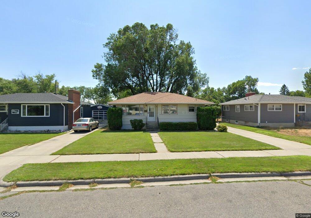
2512 Miles Ave Billings, MT 59102
West End NeighborhoodEstimated Value: $297,000 - $313,000
3
Beds
1
Bath
1,948
Sq Ft
$158/Sq Ft
Est. Value
About This Home
This home is located at 2512 Miles Ave, Billings, MT 59102 and is currently estimated at $307,588, approximately $157 per square foot. 2512 Miles Ave is a home located in Yellowstone County with nearby schools including Meadowlark School, Will James Junior High School, and Billings West High School.
Ownership History
Date
Name
Owned For
Owner Type
Purchase Details
Closed on
Oct 10, 2024
Sold by
Engen Donald Paul and Engen Kurt Paul
Bought by
Kimball Christine Lynn
Current Estimated Value
Home Financials for this Owner
Home Financials are based on the most recent Mortgage that was taken out on this home.
Original Mortgage
$236,000
Outstanding Balance
$233,519
Interest Rate
6.35%
Mortgage Type
New Conventional
Estimated Equity
$74,069
Create a Home Valuation Report for This Property
The Home Valuation Report is an in-depth analysis detailing your home's value as well as a comparison with similar homes in the area
Home Values in the Area
Average Home Value in this Area
Purchase History
| Date | Buyer | Sale Price | Title Company |
|---|---|---|---|
| Kimball Christine Lynn | -- | None Listed On Document |
Source: Public Records
Mortgage History
| Date | Status | Borrower | Loan Amount |
|---|---|---|---|
| Open | Kimball Christine Lynn | $236,000 |
Source: Public Records
Tax History
| Year | Tax Paid | Tax Assessment Tax Assessment Total Assessment is a certain percentage of the fair market value that is determined by local assessors to be the total taxable value of land and additions on the property. | Land | Improvement |
|---|---|---|---|---|
| 2025 | $2,734 | $303,400 | $43,785 | $259,615 |
| 2024 | $2,734 | $274,300 | $45,746 | $228,554 |
| 2023 | $2,733 | $274,300 | $45,746 | $228,554 |
| 2022 | $2,344 | $205,400 | $0 | $0 |
| 2021 | $2,231 | $205,400 | $0 | $0 |
| 2020 | $2,221 | $194,900 | $0 | $0 |
| 2019 | $2,052 | $187,100 | $0 | $0 |
| 2018 | $1,987 | $177,400 | $0 | $0 |
| 2017 | $1,935 | $177,400 | $0 | $0 |
| 2016 | $1,825 | $168,600 | $0 | $0 |
| 2015 | $1,786 | $168,600 | $0 | $0 |
| 2014 | $1,636 | $81,567 | $0 | $0 |
Source: Public Records
Map
Nearby Homes
- 2422 Miles Ave
- 2636 Custer Ave
- 2645 Custer Ave
- 0 Wyatt Cir Unit 356590
- 2201 Hewitt Dr
- 2300 Clark Ave
- 2930 Lynn Ave
- 2 Mcbride St
- 2124 Lewis Ave
- 260 Brookshire Blvd
- 3087 Hunters Ridge Loop
- 1125 30th St W
- 16 19th St W
- 2550 Forest Meadow Ln
- 371 W Daffodil Dr
- 1925 Yellowstone Ave
- 3136 Saint Johns Ave
- 98 Cache Dr
- 2624 Southridge Dr
- 2 Rodeo Place
- 2516 Miles Ave
- 2508 Miles Ave
- 2502 Miles Ave
- 2522 Miles Ave
- 2511 Howard Ave
- 2507 Howard Ave
- 2515 Howard Ave
- 2511 Miles Ave
- 2507 Miles Ave
- 2503 Howard Ave
- 2519 Howard Ave
- 2515 Miles Ave
- 2526 Miles Ave
- 2501 Miles Ave
- 2521 Miles Ave
- 2446 Miles Ave
- 2523 Howard Ave
- 2532 Miles Ave
- 2525 Miles Ave
- 2527 Howard Ave
Your Personal Tour Guide
Ask me questions while you tour the home.