252 Moose Mountain Stewartstown, NH 03576
Estimated Value: $298,000 - $355,000
5
Beds
4
Baths
2,163
Sq Ft
$155/Sq Ft
Est. Value
About This Home
This home is located at 252 Moose Mountain, Stewartstown, NH 03576 and is currently estimated at $334,690, approximately $154 per square foot. 252 Moose Mountain is a home located in Coos County with nearby schools including Stewartstown Community School.
Ownership History
Date
Name
Owned For
Owner Type
Purchase Details
Closed on
Jul 27, 2021
Sold by
Chesky Genevieve and Chesky Edward A
Bought by
Perrone Ingrid and Perrone Justin
Current Estimated Value
Home Financials for this Owner
Home Financials are based on the most recent Mortgage that was taken out on this home.
Original Mortgage
$187,728
Outstanding Balance
$170,780
Interest Rate
2.93%
Mortgage Type
FHA
Estimated Equity
$163,910
Purchase Details
Closed on
Jan 29, 2018
Sold by
Lawrence Jason A and Lawrence Shauna
Bought by
Chesky Genevieve and Chesky Edward A
Create a Home Valuation Report for This Property
The Home Valuation Report is an in-depth analysis detailing your home's value as well as a comparison with similar homes in the area
Home Values in the Area
Average Home Value in this Area
Purchase History
| Date | Buyer | Sale Price | Title Company |
|---|---|---|---|
| Perrone Ingrid | $205,000 | None Available | |
| Chesky Genevieve | $68,000 | -- |
Source: Public Records
Mortgage History
| Date | Status | Borrower | Loan Amount |
|---|---|---|---|
| Open | Perrone Ingrid | $187,728 |
Source: Public Records
Tax History Compared to Growth
Tax History
| Year | Tax Paid | Tax Assessment Tax Assessment Total Assessment is a certain percentage of the fair market value that is determined by local assessors to be the total taxable value of land and additions on the property. | Land | Improvement |
|---|---|---|---|---|
| 2024 | $4,486 | $280,700 | $79,700 | $201,000 |
| 2023 | $4,121 | $280,700 | $79,700 | $201,000 |
| 2022 | $3,922 | $161,000 | $21,700 | $139,300 |
| 2021 | $3,843 | $161,000 | $21,700 | $139,300 |
| 2020 | $3,803 | $161,000 | $21,700 | $139,300 |
| 2019 | $3,796 | $161,000 | $21,700 | $139,300 |
| 2018 | $3,624 | $161,000 | $21,700 | $139,300 |
| 2016 | $3,188 | $133,500 | $20,800 | $112,700 |
| 2015 | $3,118 | $131,400 | $20,800 | $110,600 |
| 2014 | $3,100 | $132,600 | $20,800 | $111,800 |
| 2013 | $3,046 | $130,300 | $20,800 | $109,500 |
Source: Public Records
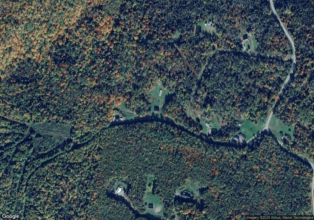
Map
Nearby Homes
- 97 Cobblestone Rd
- - Bishop Brook Rd
- 621 Bishop Brook Rd
- 11 Downing Rd
- 12 River Rd
- 92 Bishop Brook Rd
- 72 Heritage Rd
- 75 Heritage Rd
- TBD Hollow Rd
- 869 Piper Hill Rd
- TBD Ridge Rd
- Lot 1, 2, & 3 Creampoke Rd
- 63 Pariseau Dr
- 220 Creampoke Rd
- 0 Piper Hill Rd Unit C
- 204 Hall Stream Rd
- 369 Hall Stream Rd
- 11 Bohan St
- 57 Rudy Ln Unit 24
- 881 S Hill Rd
- 62 Femia Dr
- 50 Femia Dr
- 66 Femia
- 50 Femia Dr
- - Femia
- - Femia Unit B-5 Lot 46
- 6 Femia Dr
- 201 Moose Mountain Dr
- 252 Moose Mountain Dr
- 0 Femia Unit 4670586
- 264 Moose Mountain Dr
- 42 Mansfield Dr
- - Mansfield Dr
- 201 Moose Mountain Dr
- Lot 93 Back Farm Rd
- 31 Hill Top Dr
- 35 Hill Top Dr
- 43 Hill Top Dr
- 57 Hill Top Dr
- 0 Hill Top Dr