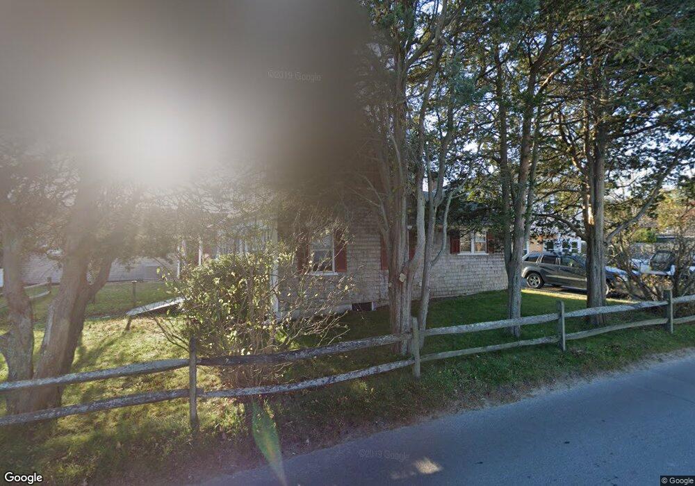
254 Upper Main St Edgartown, MA 02539
Edgartown NeighborhoodEstimated Value: $1,340,538 - $1,558,000
3
Beds
2
Baths
1,186
Sq Ft
$1,239/Sq Ft
Est. Value
About This Home
This home is located at 254 Upper Main St, Edgartown, MA 02539 and is currently estimated at $1,469,385, approximately $1,238 per square foot. 254 Upper Main St is a home located in Dukes County with nearby schools including Edgartown Elementary School and Martha's Vineyard Regional High School.
Ownership History
Date
Name
Owned For
Owner Type
Purchase Details
Closed on
Apr 6, 2021
Sold by
Charlotte Walpole Rt
Bought by
Mister Harry Llc
Current Estimated Value
Purchase Details
Closed on
Sep 16, 2010
Sold by
Walpole Charlotte
Bought by
Walpole Tr James R and Walpole Stuart
Create a Home Valuation Report for This Property
The Home Valuation Report is an in-depth analysis detailing your home's value as well as a comparison with similar homes in the area
Home Values in the Area
Average Home Value in this Area
Purchase History
| Date | Buyer | Sale Price | Title Company |
|---|---|---|---|
| Mister Harry Llc | $1,025,000 | None Available | |
| Walpole Tr James R | -- | -- |
Source: Public Records
Tax History Compared to Growth
Tax History
| Year | Tax Paid | Tax Assessment Tax Assessment Total Assessment is a certain percentage of the fair market value that is determined by local assessors to be the total taxable value of land and additions on the property. | Land | Improvement |
|---|---|---|---|---|
| 2025 | $2,631 | $992,800 | $536,900 | $455,900 |
| 2024 | $2,375 | $931,200 | $536,900 | $394,300 |
| 2023 | $2,332 | $925,400 | $553,900 | $371,500 |
| 2022 | $2,381 | $785,800 | $553,900 | $231,900 |
| 2021 | $2,271 | $692,500 | $477,700 | $214,800 |
| 2020 | $2,152 | $642,400 | $439,000 | $203,400 |
| 2019 | $2,436 | $629,500 | $426,100 | $203,400 |
| 2018 | $2,000 | $514,300 | $373,000 | $141,300 |
| 2017 | $1,914 | $539,200 | $397,900 | $141,300 |
| 2016 | $1,761 | $486,600 | $360,600 | $126,000 |
| 2015 | $1,579 | $455,100 | $324,000 | $131,100 |
Source: Public Records
Map
Nearby Homes
- 26 Curtis Ln
- 23 Pinehurst Rd
- 7 Clark Dr
- 48 Edgartown - West Tisbury Rd
- 48 W Tisbury Rd
- 76 Norton Orchard Rd
- 2 Orchard Ln
- 10 Dory Cir
- 1 Louis Field Rd
- 5 Louis Field Rd
- 5 Louis Field Rd Unit 121.3
- 10 Tilton Way
- 14 Trapps Pond Rd
- 10 Peases Point Way N
- 43 Peases Point Way S
- 11 Norton St
- 43C Dark Woods Rd
- 69 School St
- 21 Clay Pit Rd
- 52 S Summer St
- 63 Pinehurst Rd
- 250 Upper Main St (Being Sold W 248 Upper Main)
- 248 & 250 Upper Main St
- 61 Pinehurst Rd
- 248 Upper Main St
- 258 Upper Main St
- 68 Pinehurst Rd
- 57 Pinehurst Rd
- 244 Upper Main St
- 244 Upper Main St Unit 2
- 244 Upper Main St Unit 4
- 244 Upper Main St Unit 1-5
- 244 Upper Main St Unit 3
- 244 Upper Main St Unit 1
- 244 Upper Main St Unit 5
- 59 Pinehurst Rd
- 55 Pinehurst Rd
- 66 Pinehurst Rd
- 242 Upper Main St
- 64 Pinehurst Rd