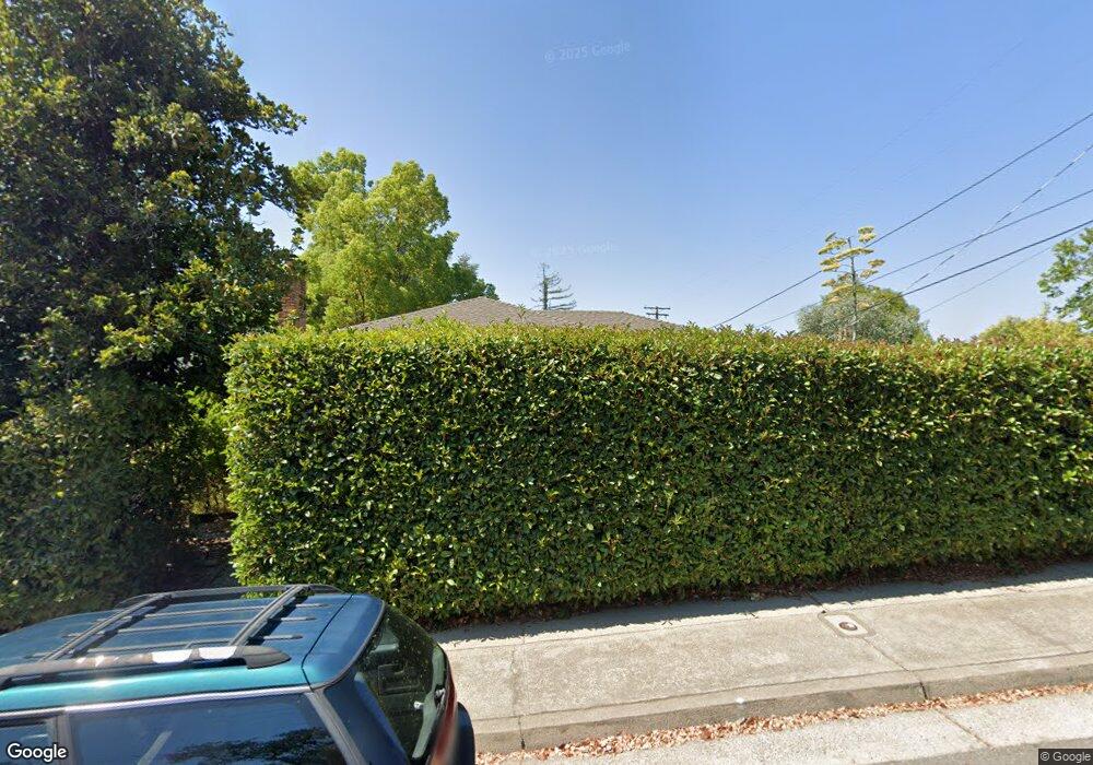
2540 Shasta St Unit 1 Redding, CA 96001
Magnolia NeighborhoodEstimated Value: $307,524 - $344,000
3
Beds
2
Baths
1,200
Sq Ft
$271/Sq Ft
Est. Value
About This Home
This home is located at 2540 Shasta St Unit 1, Redding, CA 96001 and is currently estimated at $325,631, approximately $271 per square foot. 2540 Shasta St Unit 1 is a home located in Shasta County with nearby schools including Manzanita Elementary School, Sequoia Middle School, and Shasta High School.
Ownership History
Date
Name
Owned For
Owner Type
Purchase Details
Closed on
May 19, 2005
Sold by
Burnham Sally B
Bought by
Moore Robert K and Burnham Sally B
Current Estimated Value
Purchase Details
Closed on
Jun 19, 2000
Sold by
Tory Lauerman and Tory Tammy
Bought by
Burnham Sally B
Home Financials for this Owner
Home Financials are based on the most recent Mortgage that was taken out on this home.
Original Mortgage
$97,850
Outstanding Balance
$35,257
Interest Rate
8.53%
Estimated Equity
$290,374
Purchase Details
Closed on
May 14, 1998
Sold by
Lauerman Tory A and Knight Tammy
Bought by
Lauerman Tory and Lauerman Tammy
Home Financials for this Owner
Home Financials are based on the most recent Mortgage that was taken out on this home.
Original Mortgage
$92,003
Interest Rate
7.13%
Mortgage Type
FHA
Create a Home Valuation Report for This Property
The Home Valuation Report is an in-depth analysis detailing your home's value as well as a comparison with similar homes in the area
Home Values in the Area
Average Home Value in this Area
Purchase History
| Date | Buyer | Sale Price | Title Company |
|---|---|---|---|
| Moore Robert K | -- | None Available | |
| Burnham Sally B | $103,000 | Chicago Title Co | |
| Lauerman Tory | -- | First American Title Co |
Source: Public Records
Mortgage History
| Date | Status | Borrower | Loan Amount |
|---|---|---|---|
| Open | Burnham Sally B | $97,850 | |
| Previous Owner | Lauerman Tory | $92,003 |
Source: Public Records
Tax History Compared to Growth
Tax History
| Year | Tax Paid | Tax Assessment Tax Assessment Total Assessment is a certain percentage of the fair market value that is determined by local assessors to be the total taxable value of land and additions on the property. | Land | Improvement |
|---|---|---|---|---|
| 2025 | $1,539 | $153,671 | $38,413 | $115,258 |
| 2024 | $1,514 | $150,659 | $37,660 | $112,999 |
| 2023 | $1,514 | $147,706 | $36,922 | $110,784 |
| 2022 | $1,487 | $144,811 | $36,199 | $108,612 |
| 2021 | $1,478 | $141,973 | $35,490 | $106,483 |
| 2020 | $1,496 | $140,519 | $35,127 | $105,392 |
| 2019 | $1,419 | $137,765 | $34,439 | $103,326 |
| 2018 | $1,430 | $135,064 | $33,764 | $101,300 |
| 2017 | $1,421 | $132,416 | $33,102 | $99,314 |
| 2016 | $1,374 | $129,820 | $32,453 | $97,367 |
| 2015 | $1,356 | $127,871 | $31,966 | $95,905 |
| 2014 | $1,345 | $125,367 | $31,340 | $94,027 |
Source: Public Records
Map
Nearby Homes
- 2760 Shasta St
- 1191 Hillcrest Place
- 1575 Fig Ave
- 1170 Orange Ave
- 1545 Olive Ave
- 1259 1261 Magnolia Ave
- 3036 Monte Bello Dr
- 3060 Monte Bello Dr
- 1144 Willis St
- 866 Pioneer Dr
- 3135 Stratford Ave
- 3325 Stratford Ave
- 1310 Olive St
- 984 West St
- 1355 Bambury Ct
- 830 West St
- 2180 Oak Ridge Dr
- 625 Mary St
- 3357 Oakwood Place
- 1840 8th St
- 2540 Shasta St
- 2556 Shasta St
- 1253 Almond Ave
- 1267 Almond Ave
- 1264 Walnut Ave
- 1244 Walnut Ave Unit 1
- 1244 Walnut Ave
- 1241 Almond Ave
- 1241 Almond Ave Top Level
- 2541 Shasta St
- 1238 Walnut Ave
- 2561 Shasta St
- 1226 Walnut Ave
- 2501 Shasta St Unit SFR
- 2501 Shasta St
- 2545 North St
- 2555 North St
- 1250 Almond Ave
- 2565 North St
- 1317 Almond Ave
