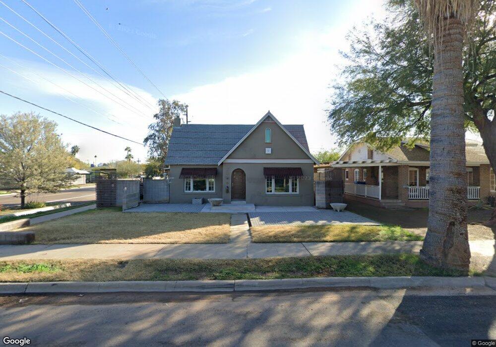
2545 N Richland St Phoenix, AZ 85006
Coronado NeighborhoodEstimated Value: $492,400 - $660,000
--
Bed
1
Bath
1,407
Sq Ft
$404/Sq Ft
Est. Value
About This Home
This home is located at 2545 N Richland St, Phoenix, AZ 85006 and is currently estimated at $569,100, approximately $404 per square foot. 2545 N Richland St is a home located in Maricopa County with nearby schools including Emerson Elementary School, North High School, and Phoenix Coding Academy.
Ownership History
Date
Name
Owned For
Owner Type
Purchase Details
Closed on
Apr 24, 2001
Sold by
Betty Jennifer Susan and Beatty Philip R
Bought by
Beatty Jennifer Susan
Current Estimated Value
Home Financials for this Owner
Home Financials are based on the most recent Mortgage that was taken out on this home.
Original Mortgage
$114,000
Interest Rate
6.98%
Create a Home Valuation Report for This Property
The Home Valuation Report is an in-depth analysis detailing your home's value as well as a comparison with similar homes in the area
Home Values in the Area
Average Home Value in this Area
Purchase History
| Date | Buyer | Sale Price | Title Company |
|---|---|---|---|
| Beatty Jennifer Susan | -- | Transnation Title Insurance |
Source: Public Records
Mortgage History
| Date | Status | Borrower | Loan Amount |
|---|---|---|---|
| Closed | Beatty Jennifer Susan | $114,000 |
Source: Public Records
Tax History Compared to Growth
Tax History
| Year | Tax Paid | Tax Assessment Tax Assessment Total Assessment is a certain percentage of the fair market value that is determined by local assessors to be the total taxable value of land and additions on the property. | Land | Improvement |
|---|---|---|---|---|
| 2025 | $1,128 | $7,945 | -- | -- |
| 2024 | $1,052 | $7,566 | -- | -- |
| 2023 | $1,052 | $21,205 | $4,240 | $16,965 |
| 2022 | $1,015 | $17,300 | $3,460 | $13,840 |
| 2021 | $1,007 | $15,150 | $3,030 | $12,120 |
| 2020 | $1,019 | $14,650 | $2,930 | $11,720 |
| 2019 | $1,017 | $13,100 | $2,620 | $10,480 |
| 2018 | $1,000 | $10,555 | $2,110 | $8,445 |
| 2017 | $976 | $10,515 | $2,100 | $8,415 |
| 2016 | $948 | $8,800 | $1,760 | $7,040 |
| 2015 | $878 | $8,155 | $1,630 | $6,525 |
Source: Public Records
Map
Nearby Homes
- 914 E Sheridan St
- 2502 N 10th St
- 2636 N Dayton St
- 377 E Windsor Ave Unit 4
- 377 E Windsor Ave Unit 13
- 377 E Windsor Ave Unit 21
- 531 E Roanoke Ave Unit D
- 2241 N Richland St
- 2336 N 11th St
- 2501 N 11th St
- 351 E Thomas Rd Unit D505
- 351 E Thomas Rd Unit D208
- 2211 N 7th St
- 353 E Thomas Rd Unit C101
- 353 E Thomas Rd Unit C307
- 349 E Thomas Rd Unit E207
- 349 E Thomas Rd Unit E301
- 312 E Windsor Ave Unit 13
- 312 E Windsor Ave Unit 2
- 312 E Windsor Ave Unit 4
- 2541 N Richland St
- 2537 N Richland St
- 2601 N Richland St
- 2546 N 9th St
- 2533 N Richland St
- 2542 N 9th St
- 2546 N Richland St
- 2538 N 9th St
- 2542 N Richland St
- 2536 N 9th St
- 2602 N 9th St
- 2529 N Richland St
- 2538 N Richland St
- 2534 N 9th St
- 2534 N 9th St Unit 2
- 2534 N 9th St Unit 1
- 2602 N Richland St
- 837 E Cambridge Ave
- 2534 N Richland St
- 2530 N 9th St