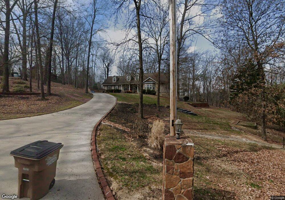
255 Stackstone Dr Dalton, GA 30721
Estimated Value: $349,000 - $422,161
Studio
4
Baths
2,319
Sq Ft
$160/Sq Ft
Est. Value
About This Home
This home is located at 255 Stackstone Dr, Dalton, GA 30721 and is currently estimated at $370,290, approximately $159 per square foot. 255 Stackstone Dr is a home located in Whitfield County with nearby schools including Pleasant Grove Elementary School, New Hope Middle School, and Northwest Whitfield County High School.
Ownership History
Date
Name
Owned For
Owner Type
Purchase Details
Closed on
Aug 30, 2005
Sold by
Not Provided
Bought by
White Terri L
Current Estimated Value
Purchase Details
Closed on
Mar 1, 1998
Bought by
Hillis Hillis R and Hillis Karen C
Create a Home Valuation Report for This Property
The Home Valuation Report is an in-depth analysis detailing your home's value as well as a comparison with similar homes in the area
Purchase History
| Date | Buyer | Sale Price | Title Company |
|---|---|---|---|
| White Terri L | $305,000 | -- | |
| Hillis Hillis R | $15,000 | -- |
Source: Public Records
Tax History
| Year | Tax Paid | Tax Assessment Tax Assessment Total Assessment is a certain percentage of the fair market value that is determined by local assessors to be the total taxable value of land and additions on the property. | Land | Improvement |
|---|---|---|---|---|
| 2025 | $3,412 | $163,242 | $15,600 | $147,642 |
| 2024 | $3,412 | $163,242 | $15,600 | $147,642 |
| 2023 | $3,825 | $134,250 | $10,600 | $123,650 |
| 2022 | $3,263 | $119,195 | $10,600 | $108,595 |
| 2021 | $3,264 | $119,195 | $10,600 | $108,595 |
| 2020 | $3,364 | $119,195 | $10,600 | $108,595 |
| 2019 | $3,413 | $119,195 | $10,600 | $108,595 |
| 2018 | $3,137 | $108,852 | $10,600 | $98,252 |
| 2017 | $3,138 | $108,852 | $10,600 | $98,252 |
| 2016 | $2,857 | $103,095 | $9,030 | $94,065 |
| 2014 | $2,576 | $103,095 | $9,030 | $94,065 |
| 2013 | -- | $111,456 | $9,030 | $102,426 |
Source: Public Records
Map
Nearby Homes
- 107 Driftwood Ln
- 101 Forrest Park Rd
- 503 Moore Dr
- 522 Westbrook Rd
- 629 Mahogany Ln NW
- 649 Neely Rd NW
- 2502 E Hillview Dr
- 1903 Summit View Dr Unit 188
- 1903 Middle Summit Dr
- 112 Albertson Dr
- 0 Battle Way
- 2256 Waring Rd NW
- 1899 N Summit Dr Unit 66
- 132 Andros Loop
- 150 W Acklin Ln
- 140 Andros Dr
- 142 Andros Dr
- 144 Andros Dr
- 116 W Acklin Ln
- 141 Andros Dr
- 231 Stackstone Dr
- 225 Stackstone Dr
- 276 Stackstone Dr
- 218 Stackstone Dr
- 282 Stackstone Dr
- 295 Stackstone Dr
- 214 Stackstone Dr
- 201 Stackstone Dr
- 102 Azalea Cir
- 168 Serenity Way
- 323 Stackstone Dr
- 104 Azalea Cir
- 326 Stackstone Dr
- 169 Stackstone Dr
- 331 Stackstone Dr
- 171 Serenity Way
- 105 Azalea Cir
- 454 Haig Mill Rd NW
- 502 Royal Oak Dr
- 500 Royal Oak Dr
Your Personal Tour Guide
Ask me questions while you tour the home.