2560 Coefield Rd Auburn, CA 95603
Estimated Value: $959,478 - $1,230,000
3
Beds
3
Baths
2,416
Sq Ft
$441/Sq Ft
Est. Value
About This Home
This home is located at 2560 Coefield Rd, Auburn, CA 95603 and is currently estimated at $1,066,493, approximately $441 per square foot. 2560 Coefield Rd is a home located in Placer County with nearby schools including Del Oro High School, Harvest Ridge Charter School, and Newcastle Elementary Charter School.
Ownership History
Date
Name
Owned For
Owner Type
Purchase Details
Closed on
Apr 20, 2021
Sold by
Burnett Brandon Jeffery and Burnett Katherine Elisabeth
Bought by
Burnett Katherine and Burnett Brandon
Current Estimated Value
Home Financials for this Owner
Home Financials are based on the most recent Mortgage that was taken out on this home.
Original Mortgage
$706,000
Outstanding Balance
$633,810
Interest Rate
3.05%
Mortgage Type
New Conventional
Estimated Equity
$432,683
Purchase Details
Closed on
Jul 30, 2018
Sold by
Nevco Inc
Bought by
Burnett Brandon Jeffery and Burnett Katherine Elisabeth
Home Financials for this Owner
Home Financials are based on the most recent Mortgage that was taken out on this home.
Original Mortgage
$202,500
Interest Rate
5.87%
Mortgage Type
Adjustable Rate Mortgage/ARM
Purchase Details
Closed on
Aug 9, 2007
Sold by
J S Davis Commercial Lp
Bought by
Nevco Inc
Create a Home Valuation Report for This Property
The Home Valuation Report is an in-depth analysis detailing your home's value as well as a comparison with similar homes in the area
Purchase History
| Date | Buyer | Sale Price | Title Company |
|---|---|---|---|
| Burnett Katherine | -- | Placer Title Company | |
| Burnett Brandon Jeffery | $270,000 | Old Republic Title Co | |
| Nevco Inc | $278,000 | Placer Title Company |
Source: Public Records
Mortgage History
| Date | Status | Borrower | Loan Amount |
|---|---|---|---|
| Open | Burnett Katherine | $706,000 | |
| Closed | Burnett Brandon Jeffery | $202,500 |
Source: Public Records
Tax History
| Year | Tax Paid | Tax Assessment Tax Assessment Total Assessment is a certain percentage of the fair market value that is determined by local assessors to be the total taxable value of land and additions on the property. | Land | Improvement |
|---|---|---|---|---|
| 2025 | $7,776 | $757,972 | $301,188 | $456,784 |
| 2023 | $7,776 | $706,686 | $280,800 | $425,886 |
| 2022 | $7,586 | $714,258 | $283,818 | $430,440 |
| 2021 | $7,099 | $666,253 | $278,253 | $388,000 |
| 2020 | $2,923 | $275,400 | $275,400 | $0 |
| 2019 | $2,870 | $270,000 | $270,000 | $0 |
| 2018 | $3,356 | $327,340 | $327,340 | $0 |
| 2017 | $3,297 | $320,922 | $320,922 | $0 |
| 2016 | $3,228 | $314,630 | $314,630 | $0 |
| 2015 | $2,773 | $272,716 | $272,716 | $0 |
| 2014 | $2,575 | $252,000 | $252,000 | $0 |
Source: Public Records
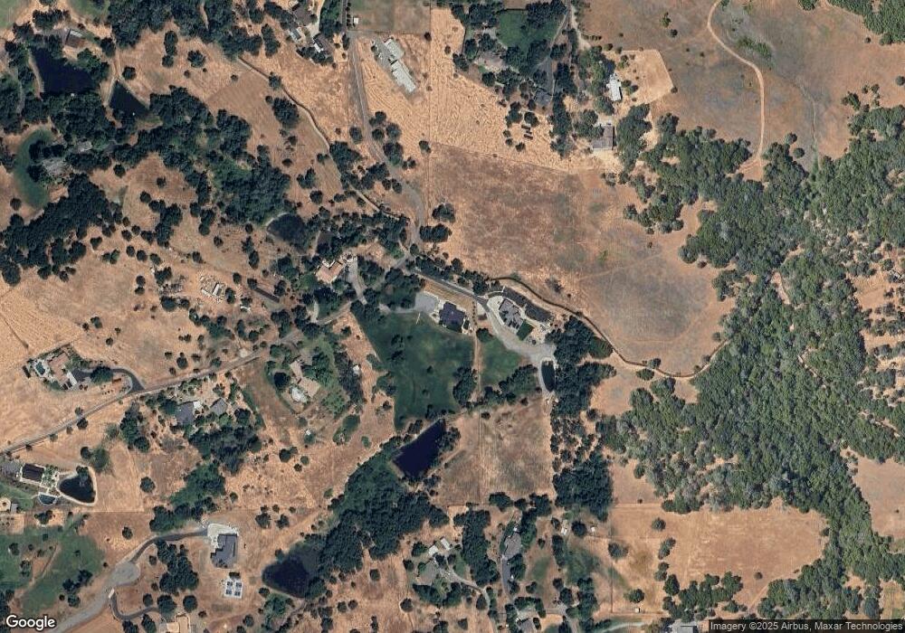
Map
Nearby Homes
- 8436 Wise Rd
- 2480 Country Ln
- 8380 Chili Hill Rd
- 2923 China Well Rd
- 670 Stone House Rd
- 11532 Stonebrook Dr
- 2250 Corral Dr
- 731 Janet Ct
- 2213 Country Villa Ct Unit 22
- 11010 Tahoe St
- 3775 Bell Rd
- 3740 Bell Rd
- 29 Larkspur Ave
- 9 Lily Ave
- 303 Stone House Rd
- 99 Marigold Ave
- 1605 Grass Valley Hwy Unit 62
- 1605 Grass Valley Hwy Unit 44
- 1605 Grass Valley Hwy
- 1605 Grass Valley Hwy Unit 54
- 2580 Coefield Rd
- 2530 Coefield Rd
- 2551 Coefield Rd
- 2475 Moran Ct
- 2320 Forster Ln
- 2399 Frontier Rd
- 2500 Coefield Rd
- 9005 Wise Rd
- 2562 Beacon Hill Dr
- 2285 Forster Ln
- 9075 Wise Rd
- 9015 Wise Rd
- 2483 Coefield Rd
- 2450 Moran Ct
- 2565 Beacon Hill Dr
- 2572 Beacon Hill Dr
- 2430 Longwood Rd
- 2452 Coefield Rd
- 2422 Longwood Rd
- 9025 Wise Rd
Your Personal Tour Guide
Ask me questions while you tour the home.