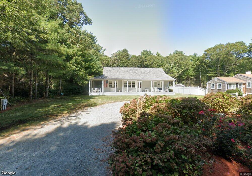
258 Poponessett Rd Cotuit, MA 02635
Cotuit NeighborhoodEstimated Value: $665,000 - $937,000
2
Beds
1
Bath
672
Sq Ft
$1,205/Sq Ft
Est. Value
About This Home
This home is located at 258 Poponessett Rd, Cotuit, MA 02635 and is currently estimated at $809,927, approximately $1,205 per square foot. 258 Poponessett Rd is a home located in Barnstable County with nearby schools including West Villages Elementary School, Barnstable United Elementary School, and Barnstable Intermediate School.
Ownership History
Date
Name
Owned For
Owner Type
Purchase Details
Closed on
Jan 12, 2018
Sold by
Bradford Diane and Bradford Mark
Bought by
Bradford T
Current Estimated Value
Purchase Details
Closed on
Aug 14, 2008
Sold by
Nystrom Christie F and Nystom Christine F
Bought by
Bradford Diane
Purchase Details
Closed on
Oct 26, 2004
Sold by
Nystrom Joyce E and Nystrom Joyce Ellen
Bought by
Nystrom Christie F
Create a Home Valuation Report for This Property
The Home Valuation Report is an in-depth analysis detailing your home's value as well as a comparison with similar homes in the area
Home Values in the Area
Average Home Value in this Area
Purchase History
| Date | Buyer | Sale Price | Title Company |
|---|---|---|---|
| Bradford T | -- | -- | |
| Bradford Diane | $225,000 | -- | |
| Nystrom Christie F | -- | -- |
Source: Public Records
Tax History
| Year | Tax Paid | Tax Assessment Tax Assessment Total Assessment is a certain percentage of the fair market value that is determined by local assessors to be the total taxable value of land and additions on the property. | Land | Improvement |
|---|---|---|---|---|
| 2025 | $6,090 | $729,400 | $180,400 | $549,000 |
| 2024 | $5,704 | $723,800 | $180,400 | $543,400 |
| 2023 | $5,457 | $652,000 | $178,200 | $473,800 |
| 2022 | $5,551 | $536,800 | $126,700 | $410,100 |
| 2021 | $5,077 | $459,800 | $126,700 | $333,100 |
| 2020 | $5,162 | $440,800 | $126,700 | $314,100 |
| 2019 | $4,828 | $406,400 | $126,700 | $279,700 |
| 2018 | $4,434 | $373,200 | $139,000 | $234,200 |
| 2017 | $4,269 | $361,800 | $139,000 | $222,800 |
| 2016 | $4,179 | $363,100 | $140,300 | $222,800 |
| 2015 | $3,893 | $337,900 | $137,500 | $200,400 |
Source: Public Records
Map
Nearby Homes
- 30 Wings Ln
- 1081 Main St
- 6 Cedar St
- 6 Cedar St
- 188 Ocean View Ave
- 916 Main St
- 239 Oxford Dr
- 311 Waquoit Rd
- 33 Oyster Place Rd
- 804 Main St
- 640 Poponessett Rd
- 640 Poponessett Rd
- 1412 Main St
- 61 Shoestring Bay Rd
- 135 Putnam Avenue (Land)
- 11 Teal Cir
- 85 Clamshell Cove Rd
- 35 Spinnaker Dr W
- 70 Simons Rd Unit E
- 70 Simons Rd
- 268 Poponessett Rd
- 248 Poponessett Rd
- 276 Poponessett Rd
- 134 Crockers Neck Rd
- 146 Crockers Neck Rd
- 124 Crockers Neck Rd
- 284 Poponessett Rd
- 112 Crockers Neck Rd
- 228 Poponessett Rd
- 245 Poponessett Rd
- 102 Crockers Neck Rd
- 277 Poponessett Rd
- 294 Poponessett Rd
- 158 Crockers Neck Rd
- 0 Poponessett Rd
- 259 Poponessett Rd
- 109 Cedarwood Rd
- 299 Poponessett Rd
- 304 Poponessett Rd
- 211 Poponessett Rd
Your Personal Tour Guide
Ask me questions while you tour the home.