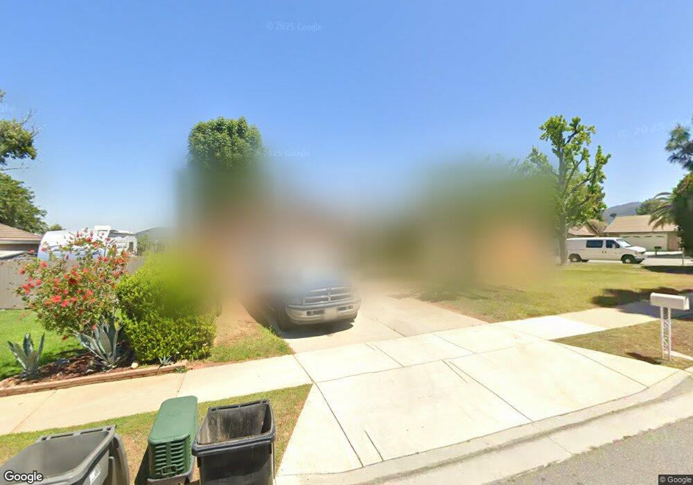
2587 Border Ave Corona, CA 92882
South Corona NeighborhoodEstimated Value: $651,136 - $732,000
3
Beds
2
Baths
1,258
Sq Ft
$542/Sq Ft
Est. Value
About This Home
This home is located at 2587 Border Ave, Corona, CA 92882 and is currently estimated at $682,284, approximately $542 per square foot. 2587 Border Ave is a home located in Riverside County with nearby schools including John Adams Elementary School, Letha Raney Intermediate School, and Corona High School.
Ownership History
Date
Name
Owned For
Owner Type
Purchase Details
Closed on
May 12, 2009
Sold by
Turner Living Trust
Bought by
Turner Thomas D and Turner Lori Ann
Current Estimated Value
Home Financials for this Owner
Home Financials are based on the most recent Mortgage that was taken out on this home.
Original Mortgage
$174,000
Outstanding Balance
$109,641
Interest Rate
4.8%
Mortgage Type
Credit Line Revolving
Estimated Equity
$572,643
Purchase Details
Closed on
Apr 25, 2009
Sold by
Tumer Thomas Dale and Tumer Lori Ann
Bought by
Turner Living Trust
Home Financials for this Owner
Home Financials are based on the most recent Mortgage that was taken out on this home.
Original Mortgage
$174,000
Outstanding Balance
$109,641
Interest Rate
4.8%
Mortgage Type
Credit Line Revolving
Estimated Equity
$572,643
Purchase Details
Closed on
Mar 4, 2009
Sold by
Department Of Veterans Affairs Of The St
Bought by
Turner Thomas Dale and Turner Lori Ann
Create a Home Valuation Report for This Property
The Home Valuation Report is an in-depth analysis detailing your home's value as well as a comparison with similar homes in the area
Home Values in the Area
Average Home Value in this Area
Purchase History
| Date | Buyer | Sale Price | Title Company |
|---|---|---|---|
| Turner Thomas D | -- | First American Title Company | |
| Turner Living Trust | -- | None Available | |
| Turner Thomas Dale | -- | None Available |
Source: Public Records
Mortgage History
| Date | Status | Borrower | Loan Amount |
|---|---|---|---|
| Open | Turner Thomas D | $174,000 |
Source: Public Records
Tax History
| Year | Tax Paid | Tax Assessment Tax Assessment Total Assessment is a certain percentage of the fair market value that is determined by local assessors to be the total taxable value of land and additions on the property. | Land | Improvement |
|---|---|---|---|---|
| 2025 | $2,161 | $199,004 | $52,781 | $146,223 |
| 2023 | $2,161 | $191,279 | $50,733 | $140,546 |
| 2022 | $2,091 | $187,530 | $49,739 | $137,791 |
| 2021 | $2,049 | $183,854 | $48,764 | $135,090 |
| 2020 | $2,026 | $181,969 | $48,264 | $133,705 |
| 2019 | $1,979 | $178,402 | $47,318 | $131,084 |
| 2018 | $1,934 | $174,905 | $46,392 | $128,513 |
| 2017 | $1,886 | $171,477 | $45,483 | $125,994 |
| 2016 | $1,867 | $168,116 | $44,592 | $123,524 |
| 2015 | $1,826 | $165,592 | $43,923 | $121,669 |
| 2014 | $1,760 | $162,350 | $43,063 | $119,287 |
Source: Public Records
Map
Nearby Homes
- 1720 Sugar Pine Dr
- 1751 Moccasin Trail Cir
- 2588 Avenida Del Vista
- 2608 Avenida Del Vista
- 2600 Avenida Del Vista Unit F203
- 2612 Avenida Del Vista
- 2616 Avenida Del Vista Unit 104
- 2576 Avenida Del Vista Unit L204
- 2598 Independence Way
- 2672 Condor Cir
- 2322 Avenida Del Vista
- 1764 Coplen Cir
- 2416 Patriot Way
- 2313 Mesquite Ln
- 2022 Mirage Way
- 2015 W Ontario Ave
- 2242 Rainbow Ridge Dr
- 1461 Deer Hollow Dr
- 2421 Mangular Ave
- 1546 Tilson Cir
- 2575 Border Ave
- 2488 Emerson Dr
- 2563 Border Ave
- 2493 Emerson Dr
- 2491 Emerson Dr
- 2486 Emerson Dr
- 2489 Emerson Dr
- 2600 Raven Cir
- 2487 Emerson Dr
- 2551 Border Ave
- 2485 Emerson Dr
- 2484 Emerson Dr
- 2606 Raven Cir
- 2483 Emerson Dr
- 2541 Misty Mountain Dr
- 2539 Border Ave
- 2531 Misty Mountain Dr
- 2521 Misty Mountain Dr
- 2482 Emerson Dr
- 2511 Misty Mountain Dr
Your Personal Tour Guide
Ask me questions while you tour the home.