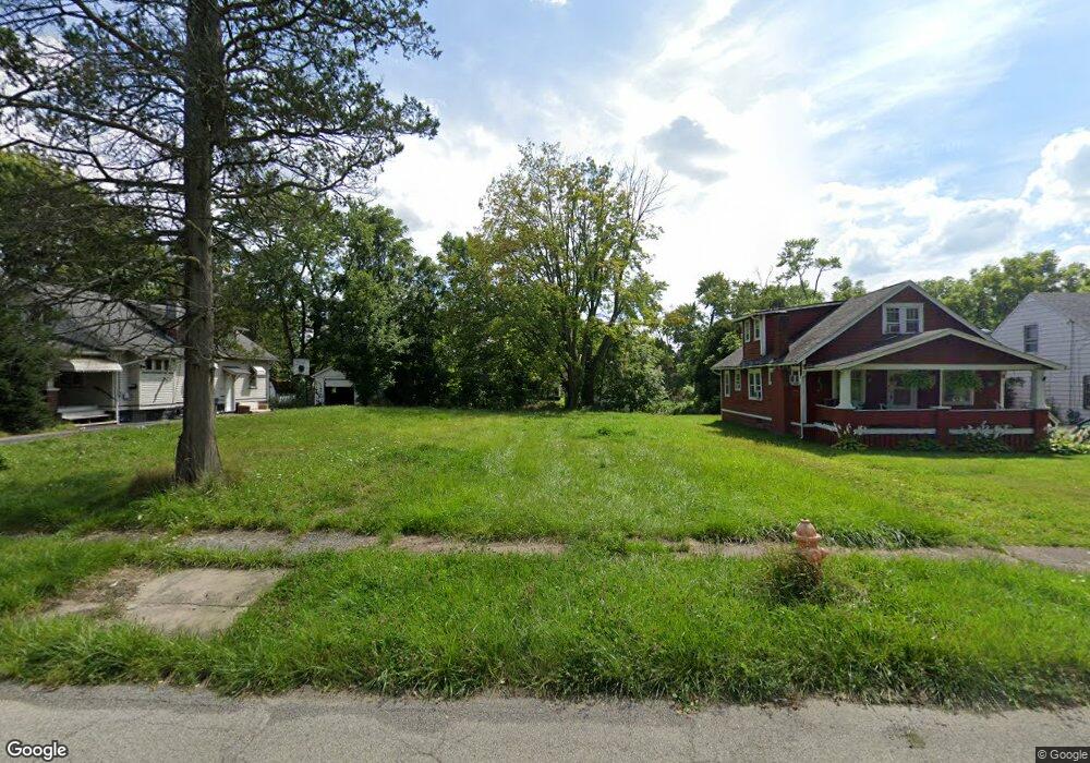
259 E Judson Ave Youngstown, OH 44507
Cottage Grove NeighborhoodEstimated Value: $111,636 - $167,000
3
Beds
1
Bath
1,631
Sq Ft
$85/Sq Ft
Est. Value
About This Home
This home is located at 259 E Judson Ave, Youngstown, OH 44507 and is currently estimated at $139,318, approximately $85 per square foot. 259 E Judson Ave is a home located in Mahoning County with nearby schools including Taft Elementary School, Williamson Elementary School, and East High School.
Ownership History
Date
Name
Owned For
Owner Type
Purchase Details
Closed on
Jun 12, 2018
Sold by
Brown Ray D and Yemma Daniel R
Bought by
Mahoning County Land Reutilization Cor
Current Estimated Value
Purchase Details
Closed on
Oct 2, 2004
Sold by
Caudill Mary L and Caudill John D
Bought by
Brown Ray D
Home Financials for this Owner
Home Financials are based on the most recent Mortgage that was taken out on this home.
Original Mortgage
$50,400
Interest Rate
5.93%
Mortgage Type
Unknown
Purchase Details
Closed on
Nov 30, 1989
Bought by
Caudill Mary L and Caudill John D
Create a Home Valuation Report for This Property
The Home Valuation Report is an in-depth analysis detailing your home's value as well as a comparison with similar homes in the area
Home Values in the Area
Average Home Value in this Area
Purchase History
| Date | Buyer | Sale Price | Title Company |
|---|---|---|---|
| Mahoning County Land Reutilization Cor | -- | None Available | |
| Brown Ray D | $56,000 | -- | |
| Caudill Mary L | $25,000 | -- |
Source: Public Records
Mortgage History
| Date | Status | Borrower | Loan Amount |
|---|---|---|---|
| Previous Owner | Brown Ray D | $50,400 |
Source: Public Records
Tax History
| Year | Tax Paid | Tax Assessment Tax Assessment Total Assessment is a certain percentage of the fair market value that is determined by local assessors to be the total taxable value of land and additions on the property. | Land | Improvement |
|---|---|---|---|---|
| 2025 | -- | $180 | $180 | -- |
| 2024 | -- | $180 | $180 | -- |
| 2022 | $0 | $190 | $190 | $0 |
| 2021 | $3 | $190 | $190 | $0 |
| 2020 | $3 | $190 | $190 | $0 |
| 2019 | $3 | $180 | $180 | $0 |
| 2018 | $242 | $1,880 | $580 | $1,300 |
| 2017 | $587 | $1,880 | $580 | $1,300 |
| 2016 | $784 | $2,820 | $580 | $2,240 |
| 2015 | $505 | $2,820 | $580 | $2,240 |
| 2014 | $179 | $2,820 | $580 | $2,240 |
| 2013 | $177 | $2,820 | $580 | $2,240 |
Source: Public Records
Map
Nearby Homes
- 178 E Ravenwood Ave
- 3919 Rush Blvd
- 221 E Avondale Ave
- 359 Potomac Ave
- 124 E Midlothian Blvd
- 173 Clarencedale Ave
- 192 Hollywood Ave
- 4038 Sunset Blvd
- 72 Labelle Ave
- 582 Roxbury Ave
- 4206 Rush Blvd
- 559 E Avondale Ave
- 32 E Avondale Ave
- 4127 Southern Blvd
- 196 Maywood Dr
- 3916 Howard St
- 734 Cambridge Ave
- 3031 Market St
- 328 Marmion Ave
- 4144 Helena Ave
- 263 E Judson Ave
- 255 E Judson Ave
- 269 E Judson Ave
- 247 E Judson Ave
- 271 E Judson Ave
- 258 E Judson Ave
- 264 E Judson Ave
- 233 E Judson Ave
- 268 E Judson Ave
- 275 E Judson Ave
- 268 Potomac Ave
- 264 Potomac Ave
- 272 Potomac Ave
- 280 Potomac Ave
- 260 Potomac Ave
- 254 E Judson Ave
- 282 Potomac Ave
- 281 E Judson Ave
- 248 E Judson Ave
- 235 E Judson Ave
Your Personal Tour Guide
Ask me questions while you tour the home.