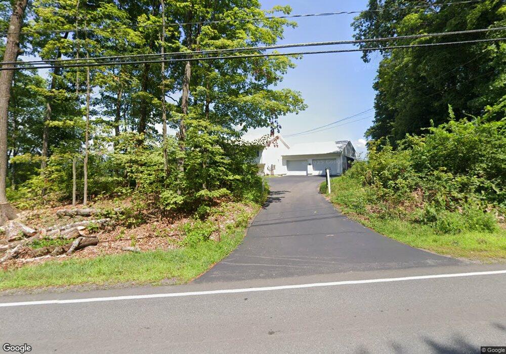
259 Montague Rd Sunderland, MA 01375
Estimated Value: $404,000 - $509,000
3
Beds
1
Bath
1,448
Sq Ft
$326/Sq Ft
Est. Value
About This Home
This home is located at 259 Montague Rd, Sunderland, MA 01375 and is currently estimated at $472,417, approximately $326 per square foot. 259 Montague Rd is a home located in Franklin County with nearby schools including Sunderland Elementary School and Frontier Regional School.
Ownership History
Date
Name
Owned For
Owner Type
Purchase Details
Closed on
Oct 25, 2021
Sold by
Otrando Robert F
Bought by
Otrando Robert F and Otrando Antionette C
Current Estimated Value
Purchase Details
Closed on
Mar 2, 1994
Sold by
Quinlan Thomas F
Bought by
Otrando Robert F
Purchase Details
Closed on
Feb 12, 1993
Sold by
Bray Haraold A
Bought by
Quinlan Thomas F
Create a Home Valuation Report for This Property
The Home Valuation Report is an in-depth analysis detailing your home's value as well as a comparison with similar homes in the area
Home Values in the Area
Average Home Value in this Area
Purchase History
| Date | Buyer | Sale Price | Title Company |
|---|---|---|---|
| Otrando Robert F | -- | None Available | |
| Otrando Robert F | $126,000 | -- | |
| Quinlan Thomas F | $30,000 | -- |
Source: Public Records
Mortgage History
| Date | Status | Borrower | Loan Amount |
|---|---|---|---|
| Previous Owner | Quinlan Thomas F | $100,000 | |
| Previous Owner | Quinlan Thomas F | $60,000 | |
| Previous Owner | Quinlan Thomas F | $150,000 |
Source: Public Records
Tax History Compared to Growth
Tax History
| Year | Tax Paid | Tax Assessment Tax Assessment Total Assessment is a certain percentage of the fair market value that is determined by local assessors to be the total taxable value of land and additions on the property. | Land | Improvement |
|---|---|---|---|---|
| 2025 | $5,071 | $389,500 | $113,600 | $275,900 |
| 2024 | $5,118 | $389,500 | $113,600 | $275,900 |
| 2023 | $4,694 | $366,700 | $103,800 | $262,900 |
| 2022 | $4,735 | $322,100 | $89,200 | $232,900 |
| 2021 | $4,405 | $284,400 | $81,700 | $202,700 |
| 2020 | $3 | $284,400 | $81,700 | $202,700 |
| 2019 | $4,243 | $276,800 | $79,500 | $197,300 |
| 2018 | $3,957 | $263,800 | $74,700 | $189,100 |
| 2017 | $3,728 | $260,000 | $76,300 | $183,700 |
| 2016 | $3,831 | $261,300 | $74,600 | $186,700 |
| 2015 | $3,695 | $258,200 | $74,600 | $183,600 |
| 2014 | $3,610 | $258,200 | $74,600 | $183,600 |
Source: Public Records
Map
Nearby Homes
- 134 Montague Rd
- 0 Pocumtuck Dr Unit 73379330
- 2 Gunn Rd
- 238 N Main St
- 7 Stage Rd
- 35 A N Leverett Rd
- 39 N Leverett Rd
- 495 Federal St Unit B
- 477 River Rd
- 64 Main St
- 132 Meadow Rd
- 13 Capt Lathrop Dr
- 40 Eastern Ave
- 110 Old Amherst Rd
- 15 Crestview Dr
- Lot C Mountain Rd
- Lot A Mountain Rd
- Lot B Mountain Rd
- 259 Long Plain Rd
- 208 Greenfield Rd
- 268 Montague Rd
- 247 Montague Rd
- 241 Montague Rd
- 290 Montague Rd
- 297 Montague Rd
- 307 Montague Rd
- 294 Montague Rd
- 300 Montague Rd
- 310 Montague Rd
- 317 Montague Rd
- 314 Montague Rd
- 194 Montague Rd
- 207 Montague Rd
- 327 Montague Rd
- 322 Montague Rd
- 331 Montague Rd
- 330 Montague Rd
- 341 Montague Rd
- 340 Montague Rd
- 351 Montague Rd