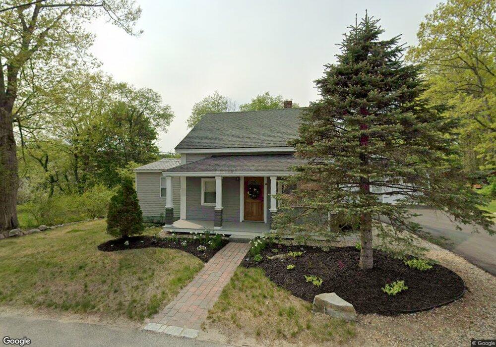
26 King St Wolfeboro, NH 03894
Estimated Value: $397,000 - $613,000
3
Beds
2
Baths
1,290
Sq Ft
$361/Sq Ft
Est. Value
About This Home
This home is located at 26 King St, Wolfeboro, NH 03894 and is currently estimated at $466,195, approximately $361 per square foot. 26 King St is a home located in Carroll County with nearby schools including Carpenter Elementary School, Crescent Lake School, and Kingswood Regional Middle School.
Ownership History
Date
Name
Owned For
Owner Type
Purchase Details
Closed on
Sep 17, 2021
Sold by
Snyder Shawn W and Snyder Jason D
Bought by
Kirk Ft
Current Estimated Value
Home Financials for this Owner
Home Financials are based on the most recent Mortgage that was taken out on this home.
Original Mortgage
$276,000
Outstanding Balance
$250,765
Interest Rate
2.7%
Mortgage Type
Purchase Money Mortgage
Estimated Equity
$215,430
Purchase Details
Closed on
Feb 1, 2012
Sold by
Lovett Karen L
Bought by
Snyder Shawn W
Purchase Details
Closed on
Aug 12, 2009
Sold by
Deutsche Bk Natl T Co
Bought by
Snyder Jason C and Snyder Shawn N
Home Financials for this Owner
Home Financials are based on the most recent Mortgage that was taken out on this home.
Original Mortgage
$64,000
Interest Rate
5.36%
Mortgage Type
Purchase Money Mortgage
Purchase Details
Closed on
May 8, 2009
Sold by
Connolly Michael S
Bought by
Deutsche Bk Natl T Co
Create a Home Valuation Report for This Property
The Home Valuation Report is an in-depth analysis detailing your home's value as well as a comparison with similar homes in the area
Home Values in the Area
Average Home Value in this Area
Purchase History
| Date | Buyer | Sale Price | Title Company |
|---|---|---|---|
| Kirk Ft | $350,000 | None Available | |
| Snyder Shawn W | -- | -- | |
| Snyder Jason C | $80,000 | -- | |
| Deutsche Bk Natl T Co | $135,000 | -- |
Source: Public Records
Mortgage History
| Date | Status | Borrower | Loan Amount |
|---|---|---|---|
| Open | Kirk Ft | $276,000 | |
| Previous Owner | Deutsche Bk Natl T Co | $64,000 |
Source: Public Records
Tax History Compared to Growth
Tax History
| Year | Tax Paid | Tax Assessment Tax Assessment Total Assessment is a certain percentage of the fair market value that is determined by local assessors to be the total taxable value of land and additions on the property. | Land | Improvement |
|---|---|---|---|---|
| 2024 | $3,037 | $191,000 | $75,200 | $115,800 |
| 2023 | $2,806 | $191,000 | $75,200 | $115,800 |
| 2022 | $2,512 | $190,000 | $75,200 | $114,800 |
| 2021 | $2,597 | $190,000 | $75,200 | $114,800 |
| 2020 | $2,472 | $190,000 | $75,200 | $114,800 |
| 2019 | $2,283 | $144,100 | $57,000 | $87,100 |
| 2018 | $2,277 | $144,100 | $57,000 | $87,100 |
| 2017 | $2,133 | $142,400 | $57,000 | $85,400 |
| 2016 | $1,996 | $136,400 | $57,000 | $79,400 |
| 2015 | $1,903 | $136,400 | $57,000 | $79,400 |
| 2014 | $1,888 | $145,100 | $53,500 | $91,600 |
| 2013 | $1,862 | $145,100 | $53,500 | $91,600 |
Source: Public Records
Map
Nearby Homes
- 68 Railroad Ave Unit 3
- 61 Lehner St
- 68 Center St
- 8 Pine Hill Rd
- 108 Center St
- 222 N Main St
- 172 Center St
- 79 River St
- 79 S Main St
- 21 Goodrich Rd
- 00 Trask Mountain (Lot 3) Rd Unit 3
- 10 Granite Ln
- 180 Sewall Rd
- 29 Birch Hill Estates Rd
- 127 Forest Rd
- 165 Ambrose Way
- 88 Ambrose Way
- 185 Ambrose Way
- 195 Sewall Rd
- 163 Clark Rd