26 Lower Waldron Rd Meredith, NH 03253
Estimated Value: $1,148,659 - $1,397,000
3
Beds
5
Baths
2,311
Sq Ft
$540/Sq Ft
Est. Value
About This Home
This home is located at 26 Lower Waldron Rd, Meredith, NH 03253 and is currently estimated at $1,248,665, approximately $540 per square foot. 26 Lower Waldron Rd is a home located in Belknap County with nearby schools including Inter-Lakes Elementary School, Sandwich Central School, and Inter-Lakes Middle High School.
Ownership History
Date
Name
Owned For
Owner Type
Purchase Details
Closed on
Feb 1, 2002
Sold by
Olson Steven and Olson Joann
Bought by
Harding Matthew W and Harding Robyn L
Current Estimated Value
Create a Home Valuation Report for This Property
The Home Valuation Report is an in-depth analysis detailing your home's value as well as a comparison with similar homes in the area
Home Values in the Area
Average Home Value in this Area
Purchase History
| Date | Buyer | Sale Price | Title Company |
|---|---|---|---|
| Harding Matthew W | $20,000 | -- |
Source: Public Records
Mortgage History
| Date | Status | Borrower | Loan Amount |
|---|---|---|---|
| Open | Harding Matthew W | $134,000 | |
| Closed | Harding Matthew W | $143,987 |
Source: Public Records
Tax History
| Year | Tax Paid | Tax Assessment Tax Assessment Total Assessment is a certain percentage of the fair market value that is determined by local assessors to be the total taxable value of land and additions on the property. | Land | Improvement |
|---|---|---|---|---|
| 2024 | $9,224 | $899,000 | $346,100 | $552,900 |
| 2023 | $8,891 | $899,000 | $346,100 | $552,900 |
| 2022 | $8,297 | $593,900 | $178,800 | $415,100 |
| 2021 | $7,976 | $593,900 | $178,800 | $415,100 |
| 2020 | $8,324 | $593,700 | $178,800 | $414,900 |
| 2019 | $8,075 | $508,200 | $131,400 | $376,800 |
| 2018 | $7,598 | $486,400 | $131,400 | $355,000 |
| 2016 | $7,095 | $455,100 | $110,800 | $344,300 |
| 2015 | $6,918 | $455,100 | $110,800 | $344,300 |
| 2014 | $6,749 | $455,100 | $110,800 | $344,300 |
| 2013 | $6,558 | $455,100 | $110,800 | $344,300 |
Source: Public Records
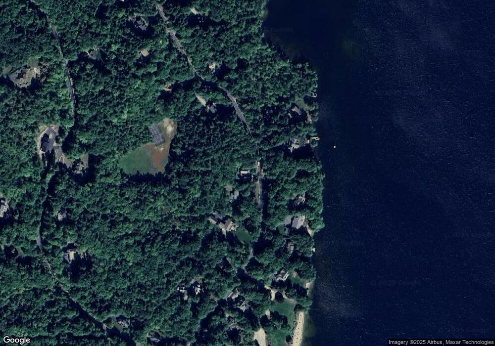
Map
Nearby Homes
- 00 Chemung Rd Unit 31
- 129 Black Brook Rd
- 1 Sanctuary Ln
- 6 Loon Point Rd
- 65 Tucker Mountain Rd
- 490 Meredith Center Rd
- 11 Chemung Rd
- 126 Meredith Center Rd
- 302 Black Brook Rd
- 391 Turner Way
- 516 Steele Hill Rd Unit Week 1-10 & 51 and
- 516 Steele Hill Rd Unit Float week 17-23; 37
- 516 Steele Hill Rd Unit Floating week 17-23
- 2 Clover Ln
- 1 Clover Ln Unit 1
- 9 Fells Way Unit A
- 341 Hermit Woods Rd
- 201 Parade Rd
- 358 Roller Coaster Rd
- 207 Pease Rd
- 39 Lower Waldron Rd
- 24 Lower Waldron Rd
- 25 Lower Waldron Rd
- 27 Lower Waldron Rd
- 22 Lower Waldron Rd
- 23 Lower Waldron Rd
- 21 Lower Waldron Rd
- 36 Lower Waldron Rd
- 29 Lower Waldron Rd
- 19 Lower Waldron Rd
- 16 Lower Waldron Rd
- 17 Lower Waldron Rd
- 37 Lower Waldron Rd
- 38 Lower Waldron Rd
- 10 Lower Waldron Rd
- 11 Lower Waldron Rd
- 9 Lower Waldron Rd
- 0 Lower Waldron Unit 39 4697655
- 42 Lower Waldron Rd
- 40 Swain Rd
Your Personal Tour Guide
Ask me questions while you tour the home.