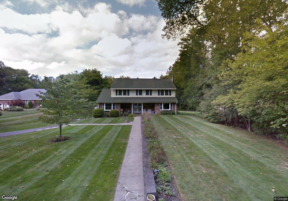
26 Rutgers Rd Andover, MA 01810
Haggetts NeighborhoodEstimated Value: $1,133,761 - $1,396,000
4
Beds
3
Baths
4,150
Sq Ft
$295/Sq Ft
Est. Value
About This Home
This home is located at 26 Rutgers Rd, Andover, MA 01810 and is currently estimated at $1,225,690, approximately $295 per square foot. 26 Rutgers Rd is a home located in Essex County with nearby schools including High Plain Elementary School, Wood Hill Middle School, and Andover High School.
Ownership History
Date
Name
Owned For
Owner Type
Purchase Details
Closed on
Jul 12, 2012
Sold by
Mancini Louis M and Mancini Kathleen A
Bought by
Mancini Ft and Mancini Louis M
Current Estimated Value
Purchase Details
Closed on
Apr 9, 1993
Sold by
Security Pacific Natl
Bought by
Mancini Louis M
Purchase Details
Closed on
Aug 31, 1989
Sold by
Iovanna Arthur
Bought by
Zidle Louis
Create a Home Valuation Report for This Property
The Home Valuation Report is an in-depth analysis detailing your home's value as well as a comparison with similar homes in the area
Home Values in the Area
Average Home Value in this Area
Purchase History
| Date | Buyer | Sale Price | Title Company |
|---|---|---|---|
| Mancini Ft | -- | -- | |
| Mancini Louis M | $207,000 | -- | |
| Zidle Louis | $294,000 | -- |
Source: Public Records
Mortgage History
| Date | Status | Borrower | Loan Amount |
|---|---|---|---|
| Previous Owner | Zidle Louis | $264,500 | |
| Previous Owner | Zidle Louis | $275,000 |
Source: Public Records
Tax History
| Year | Tax Paid | Tax Assessment Tax Assessment Total Assessment is a certain percentage of the fair market value that is determined by local assessors to be the total taxable value of land and additions on the property. | Land | Improvement |
|---|---|---|---|---|
| 2024 | $11,741 | $911,600 | $458,900 | $452,700 |
| 2023 | $11,259 | $824,200 | $413,200 | $411,000 |
| 2022 | $10,629 | $728,000 | $359,400 | $368,600 |
| 2021 | $10,203 | $667,300 | $326,700 | $340,600 |
| 2020 | $9,827 | $654,700 | $318,900 | $335,800 |
| 2019 | $9,780 | $640,500 | $309,400 | $331,100 |
| 2018 | $9,445 | $603,900 | $297,700 | $306,200 |
| 2017 | $9,081 | $598,200 | $291,800 | $306,400 |
| 2016 | $8,902 | $600,700 | $291,800 | $308,900 |
| 2015 | $8,584 | $573,400 | $280,400 | $293,000 |
Source: Public Records
Map
Nearby Homes
- 22 Haggetts Pond Rd
- 14 Geneva Rd
- 15 Geneva Rd
- 8 Stouffer Cir
- 29 Stoneybrook Cir
- 58 Blanchard St
- 2 Francis Dr Unit 405
- 4 Francis Dr Unit 312
- 4 Francis Dr Unit 207
- 2 Francis Dr Unit 301
- 399 North St
- 18 Ravens Bluff
- 322 River Rd
- 20 Mount Joy Dr
- 2 Greybirch Rd
- 76 Juniper Ln Unit 76
- 910 Livingston St
- 103 Juniper Ln Unit 103
- 6 Hearthstone Place
- 46 Randolph Dr
Your Personal Tour Guide
Ask me questions while you tour the home.