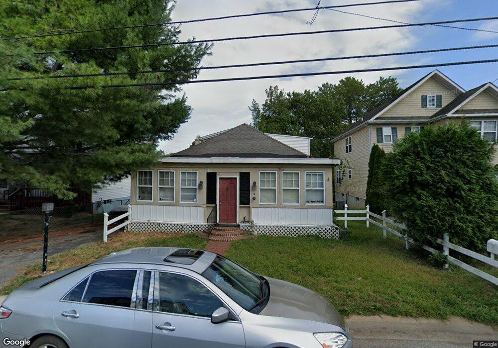
26 S Ford Ave Wilmington, DE 19805
Union Park Gardens NeighborhoodEstimated Value: $250,934 - $305,000
3
Beds
1
Bath
1,467
Sq Ft
$189/Sq Ft
Est. Value
About This Home
This home is located at 26 S Ford Ave, Wilmington, DE 19805 and is currently estimated at $277,984, approximately $189 per square foot. 26 S Ford Ave is a home located in New Castle County with nearby schools including Austin D. Baltz Elementary School, Alexis I. du Pont Middle School, and Thomas McKean High School.
Ownership History
Date
Name
Owned For
Owner Type
Purchase Details
Closed on
Oct 18, 2021
Sold by
Borgia Joseph J and Borgia Michael R
Bought by
Borgia Anthony R
Current Estimated Value
Home Financials for this Owner
Home Financials are based on the most recent Mortgage that was taken out on this home.
Original Mortgage
$132,990
Outstanding Balance
$121,274
Interest Rate
2.8%
Mortgage Type
VA
Estimated Equity
$156,710
Purchase Details
Closed on
Jan 1, 1958
Bought by
Borgia Raymond J and Borgia Margaret
Create a Home Valuation Report for This Property
The Home Valuation Report is an in-depth analysis detailing your home's value as well as a comparison with similar homes in the area
Home Values in the Area
Average Home Value in this Area
Purchase History
| Date | Buyer | Sale Price | Title Company |
|---|---|---|---|
| Borgia Anthony R | -- | None Available | |
| Borgia Raymond J | -- | -- |
Source: Public Records
Mortgage History
| Date | Status | Borrower | Loan Amount |
|---|---|---|---|
| Open | Borgia Anthony R | $132,990 |
Source: Public Records
Tax History Compared to Growth
Tax History
| Year | Tax Paid | Tax Assessment Tax Assessment Total Assessment is a certain percentage of the fair market value that is determined by local assessors to be the total taxable value of land and additions on the property. | Land | Improvement |
|---|---|---|---|---|
| 2024 | $1,237 | $32,600 | $6,400 | $26,200 |
| 2023 | $1,245 | $32,600 | $6,400 | $26,200 |
| 2022 | $1,102 | $32,600 | $6,400 | $26,200 |
| 2021 | $1,101 | $32,600 | $6,400 | $26,200 |
| 2020 | $3,631 | $32,600 | $6,400 | $26,200 |
| 2019 | $1,872 | $32,600 | $6,400 | $26,200 |
| 2018 | $253 | $32,600 | $6,400 | $26,200 |
| 2017 | $31 | $32,600 | $6,400 | $26,200 |
| 2016 | $31 | $32,600 | $6,400 | $26,200 |
| 2015 | $30 | $32,600 | $6,400 | $26,200 |
| 2014 | $30 | $32,600 | $6,400 | $26,200 |
Source: Public Records
Map
Nearby Homes
- 2805 W 2nd St
- 3000 Conrad St
- 2735 W 3rd St
- 2913 W 3rd St
- 411 S Sycamore St
- 305 N Ogle Ave
- 306 S Dupont Rd
- 2123 Biddle St
- 230 Woodlawn Ave
- 605 S Bancroft Pkwy
- 436 S Bancroft Pkwy
- 1908 W 2nd St
- 1917 W 2nd St
- 717 Blackshire Rd
- 1905 W 2nd St
- 1957 Lakeview Rd
- 3412 Barbara Ln
- 9 Vining Ln
- 505 N Lincoln St
- 1917 W 6th St