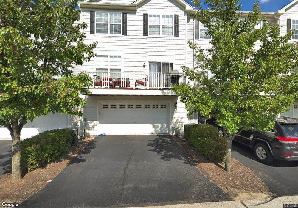
260 Comstock Dr Unit 1983 Elgin, IL 60124
Providence NeighborhoodEstimated Value: $317,000 - $337,000
3
Beds
3
Baths
1,896
Sq Ft
$172/Sq Ft
Est. Value
About This Home
This home is located at 260 Comstock Dr Unit 1983, Elgin, IL 60124 and is currently estimated at $325,489, approximately $171 per square foot. 260 Comstock Dr Unit 1983 is a home located in Kane County with nearby schools including Otter Creek Elementary School, Abbott Middle School, and South Elgin High School.
Ownership History
Date
Name
Owned For
Owner Type
Purchase Details
Closed on
Jun 28, 2006
Sold by
The Ryland Group Inc
Bought by
Sasak Jennifer
Current Estimated Value
Home Financials for this Owner
Home Financials are based on the most recent Mortgage that was taken out on this home.
Original Mortgage
$258,763
Outstanding Balance
$154,214
Interest Rate
6.72%
Mortgage Type
FHA
Estimated Equity
$171,275
Create a Home Valuation Report for This Property
The Home Valuation Report is an in-depth analysis detailing your home's value as well as a comparison with similar homes in the area
Home Values in the Area
Average Home Value in this Area
Purchase History
| Date | Buyer | Sale Price | Title Company |
|---|---|---|---|
| Sasak Jennifer | $263,000 | Ryland Title Company |
Source: Public Records
Mortgage History
| Date | Status | Borrower | Loan Amount |
|---|---|---|---|
| Open | Sasak Jennifer | $258,763 |
Source: Public Records
Tax History Compared to Growth
Tax History
| Year | Tax Paid | Tax Assessment Tax Assessment Total Assessment is a certain percentage of the fair market value that is determined by local assessors to be the total taxable value of land and additions on the property. | Land | Improvement |
|---|---|---|---|---|
| 2024 | $7,008 | $95,571 | $26,007 | $69,564 |
| 2023 | $6,678 | $86,341 | $23,495 | $62,846 |
| 2022 | $6,306 | $78,728 | $21,423 | $57,305 |
| 2021 | $6,032 | $73,605 | $20,029 | $53,576 |
| 2020 | $5,861 | $70,268 | $19,121 | $51,147 |
| 2019 | $5,691 | $66,935 | $18,214 | $48,721 |
| 2018 | $5,641 | $63,057 | $17,159 | $45,898 |
| 2017 | $5,514 | $59,611 | $16,221 | $43,390 |
| 2016 | $5,258 | $55,303 | $15,049 | $40,254 |
| 2015 | -- | $50,690 | $13,794 | $36,896 |
| 2014 | -- | $50,064 | $13,624 | $36,440 |
| 2013 | -- | $51,384 | $13,983 | $37,401 |
Source: Public Records
Map
Nearby Homes
- 294 Comstock Dr Unit 2013
- 3134 Kyra Ln
- 366 Copper Springs Ln
- 312 Monument Rd
- 379 Fountain Ave
- 3311 Lafayette St
- COVENTRY Plan at West Point Gardens
- EMERSON Plan at West Point Gardens
- HENLEY Plan at West Point Gardens
- FAIRFIELD Plan at West Point Gardens
- Lot 267 Marigold Dr
- Lot 264 Marigold Dr
- Lot 266 Marigold Dr
- Lot 255 Marigold Dr
- 315 Snow Drop Ln
- 313 Snow Drop Ln
- 311 Snowdrop Ln
- 264 Snowdrop Ln
- 313 Snowdrop Ln
- 315 Snowdrop Ln
- 262 Comstock Dr Unit 1984
- 258 Comstock Dr Unit 1982
- 260 Comstock Dr Unit 260
- 256 Comstock Dr Unit 1981
- 242 Comstock Dr Unit 1971
- 248 Comstock Dr Unit 1974
- 244 Comstock Dr Unit 1972
- 246 Comstock Dr Unit 1973
- 250 Comstock Dr Unit 1975
- 252 Comstock Dr Unit 1976
- 276 Comstock Dr Unit 1995
- 270 Comstock Dr Unit 1992
- 274 Comstock Dr Unit 1994
- 272 Comstock Dr Unit 1993
- 270 Comstock Dr
- 268 Comstock Dr Unit 268
- 268 Comstock Dr Unit 199
- 201 Comstock Dr Unit 1961
- 207 Comstock Dr Unit 1964
- 211 Comstock Dr Unit 1966