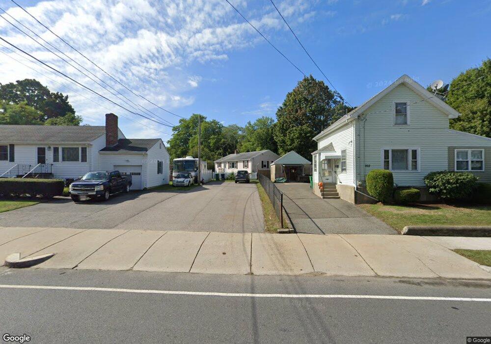
260 River St West Newton, MA 02465
West Newton NeighborhoodEstimated Value: $824,000 - $1,059,000
3
Beds
2
Baths
1,288
Sq Ft
$707/Sq Ft
Est. Value
About This Home
This home is located at 260 River St, West Newton, MA 02465 and is currently estimated at $910,630, approximately $707 per square foot. 260 River St is a home located in Middlesex County with nearby schools including C.C. Burr, F.A. Day Middle School, and Newton North High School.
Ownership History
Date
Name
Owned For
Owner Type
Purchase Details
Closed on
Nov 6, 2025
Sold by
Albano Marie E
Bought by
Albano Joseph M and Albano Marie E
Current Estimated Value
Home Financials for this Owner
Home Financials are based on the most recent Mortgage that was taken out on this home.
Original Mortgage
$1,423,500
Outstanding Balance
$1,423,500
Interest Rate
6.34%
Mortgage Type
Reverse Mortgage Home Equity Conversion Mortgage
Estimated Equity
-$512,870
Purchase Details
Closed on
Mar 10, 2005
Sold by
Conti William T
Bought by
Sarkissian Madathia
Home Financials for this Owner
Home Financials are based on the most recent Mortgage that was taken out on this home.
Original Mortgage
$148,000
Interest Rate
5.64%
Mortgage Type
Purchase Money Mortgage
Purchase Details
Closed on
Mar 30, 2001
Sold by
Giordano June M and Giordano Peter J
Bought by
Albano Marie E
Home Financials for this Owner
Home Financials are based on the most recent Mortgage that was taken out on this home.
Original Mortgage
$191,000
Interest Rate
6.96%
Create a Home Valuation Report for This Property
The Home Valuation Report is an in-depth analysis detailing your home's value as well as a comparison with similar homes in the area
Home Values in the Area
Average Home Value in this Area
Purchase History
| Date | Buyer | Sale Price | Title Company |
|---|---|---|---|
| Sarkissian Madathia | $185,000 | -- | |
| Albano Marie E | $220,000 | -- |
Source: Public Records
Mortgage History
| Date | Status | Borrower | Loan Amount |
|---|---|---|---|
| Open | Albano Marie E | $182,000 | |
| Closed | Sarkissian Madathia | $148,000 | |
| Previous Owner | Albano Marie E | $191,000 | |
| Previous Owner | Albano Marie E | $176,000 |
Source: Public Records
Tax History Compared to Growth
Tax History
| Year | Tax Paid | Tax Assessment Tax Assessment Total Assessment is a certain percentage of the fair market value that is determined by local assessors to be the total taxable value of land and additions on the property. | Land | Improvement |
|---|---|---|---|---|
| 2025 | $6,922 | $706,300 | $0 | $0 |
| 2024 | $6,692 | $0 | $0 | $0 |
| 2023 | $6,307 | $619,500 | $554,600 | $64,900 |
| 2022 | $6,034 | $573,600 | $513,500 | $60,100 |
| 2021 | $5,822 | $541,100 | $484,400 | $56,700 |
| 2020 | $5,649 | $541,100 | $484,400 | $56,700 |
| 2019 | $5,489 | $525,300 | $470,300 | $55,000 |
| 2018 | $5,169 | $477,700 | $426,300 | $51,400 |
| 2017 | $5,012 | $450,700 | $402,200 | $48,500 |
| 2016 | $4,793 | $421,200 | $375,900 | $45,300 |
| 2015 | $4,570 | $393,600 | $351,300 | $42,300 |
Source: Public Records
Map
Nearby Homes
- 265-267 River St Unit 267
- 265-267 River St Unit 265
- 101-103 Lexington St
- 56 Dearborn St
- 44 Westland Ave
- 90 Auburndale Ave
- 14 Cottage Place Unit 14
- 11 Derby St
- 160 Pine St Unit 12
- 106 River St Unit 18
- 106 River St Unit 2
- 106 River St Unit 14
- 2 Elm St Unit 6
- 2 Elm St Unit 8
- 287 Cherry St Unit 2
- 31-37 Washington Ave
- 24 Tolman St Unit A
- 371 Cherry St
- 41 Kilburn Rd
- 73 Orange St Unit 2