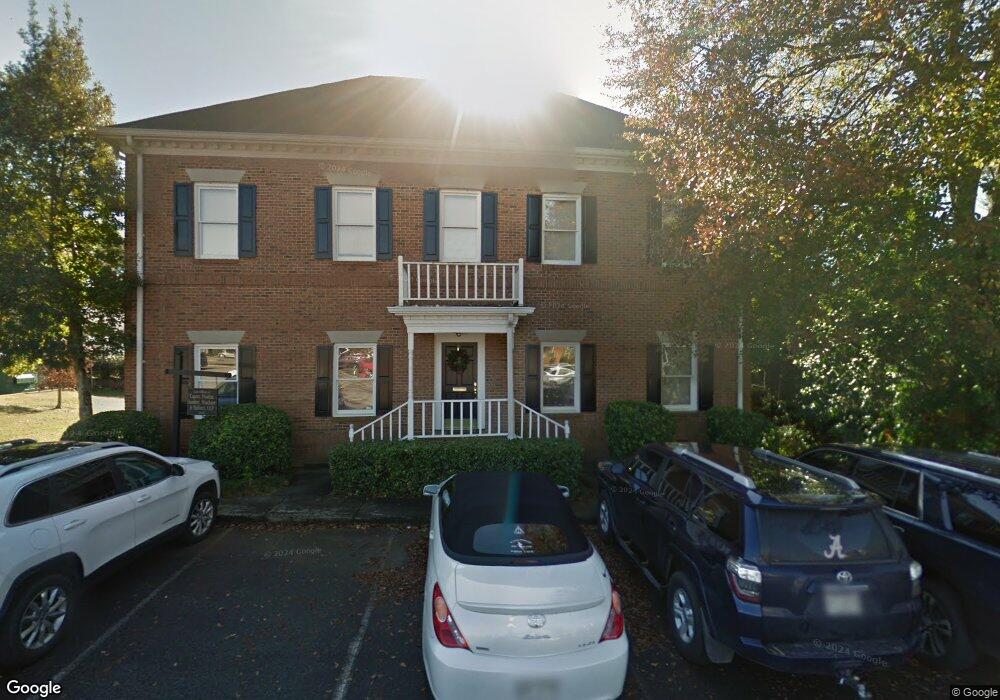
2604 Commons Blvd Augusta, GA 30909
West Augusta NeighborhoodEstimated Value: $594,628
Studio
--
Bath
4,000
Sq Ft
$149/Sq Ft
Est. Value
About This Home
This home is located at 2604 Commons Blvd, Augusta, GA 30909 and is currently estimated at $594,628, approximately $148 per square foot. 2604 Commons Blvd is a home located in Richmond County with nearby schools including Tutt Middle School, Johnson Magnet, and Westside High School.
Ownership History
Date
Name
Owned For
Owner Type
Purchase Details
Closed on
Sep 26, 2025
Sold by
Bellotti Amanda M
Bought by
Mullins Properties Llc
Current Estimated Value
Home Financials for this Owner
Home Financials are based on the most recent Mortgage that was taken out on this home.
Original Mortgage
$448,000
Outstanding Balance
$435,307
Interest Rate
6.56%
Mortgage Type
Purchase Money Mortgage
Estimated Equity
$159,321
Purchase Details
Closed on
Jun 1, 2009
Sold by
1600 Capital Co Llp & +
Bought by
Dunbar Paul H and Sanders Emory
Home Financials for this Owner
Home Financials are based on the most recent Mortgage that was taken out on this home.
Original Mortgage
$252,450
Interest Rate
4.81%
Mortgage Type
New Conventional
Purchase Details
Closed on
Nov 23, 1987
Sold by
Centerbank Mortgage Co
Bought by
Cfe Development Inc C F E Development I
Purchase Details
Closed on
Mar 1, 1984
Create a Home Valuation Report for This Property
The Home Valuation Report is an in-depth analysis detailing your home's value as well as a comparison with similar homes in the area
Home Values in the Area
Average Home Value in this Area
Purchase History
| Date | Buyer | Sale Price | Title Company |
|---|---|---|---|
| Mullins Properties Llc | $560,000 | -- | |
| Dunbar Paul H | $296,500 | -- | |
| Cfe Development Inc C F E Development I | -- | -- | |
| -- | $140,000 | -- |
Source: Public Records
Mortgage History
| Date | Status | Borrower | Loan Amount |
|---|---|---|---|
| Open | Mullins Properties Llc | $448,000 | |
| Previous Owner | Dunbar Paul H | $252,450 |
Source: Public Records
Tax History
| Year | Tax Paid | Tax Assessment Tax Assessment Total Assessment is a certain percentage of the fair market value that is determined by local assessors to be the total taxable value of land and additions on the property. | Land | Improvement |
|---|---|---|---|---|
| 2025 | $5,251 | $184,416 | $34,000 | $150,416 |
| 2024 | $5,251 | $150,836 | $34,000 | $116,836 |
| 2023 | $4,136 | $207,284 | $34,000 | $173,284 |
| 2022 | $3,010 | $103,656 | $34,000 | $69,656 |
| 2021 | $3,293 | $103,656 | $34,000 | $69,656 |
| 2020 | $3,233 | $103,656 | $34,000 | $69,656 |
| 2019 | $3,461 | $103,656 | $34,000 | $69,656 |
| 2018 | $3,362 | $103,656 | $34,000 | $69,656 |
| 2017 | $0 | $103,656 | $34,000 | $69,656 |
| 2016 | $3,366 | $103,656 | $34,000 | $69,656 |
Source: Public Records
Map
Nearby Homes
- 104 York Way
- 46 Charlestowne Dr
- 35 Charlestowne Dr
- 2609 Sherborne Ct
- 262 Lafayette Dr
- 2918 Arrowhead Dr
- 3007 Pointewest Dr
- 1208 Colony Place Dr
- 2703 Oakbluff Ct
- 26 Mulberry Ln
- 3082 Westwood Rd
- 3084 Westwood Rd
- 3086 Westwood Rd
- 2507 Pinebluff Ct
- 1017 Stevens Creek Rd
- 1017 Stevens Creek Rd Unit G186
- 2902 Sussex Rd
- 32 Queens Ct
- 2330 Lions Gate Dr
- 2908 Stratford Dr
- 103 Brandywine Place Unit 1B
- 105 Brandywine Place Unit 1C
- 101 Brandywine Place Unit 1A
- 2602 Commons Blvd Unit C
- 2602 Commons Blvd Unit A
- 2602 Commons Blvd Unit B
- 2602 Commons Blvd
- 107 Brandywine Place
- 109 Brandywine Place Unit 1E
- 220 Boy Scout Rd
- 220 Boy Scout Rd
- 111 Brandywine Place Unit F
- 100 Brandywine Place
- 102 Brandywine Place Unit 4B
- 113 Brandywine Place
- 104 Brandywine Place
- 108 Brandywine Place Unit 4E
- 115 Brandywine Place
- 106 Brandywine Place Unit 4D
- 2608 Commons Blvd Unit C
Your Personal Tour Guide
Ask me questions while you tour the home.