261 Daves Rd Morganton, GA 30560
Estimated Value: $285,000 - $652,000
--
Bed
2
Baths
1,664
Sq Ft
$283/Sq Ft
Est. Value
About This Home
This home is located at 261 Daves Rd, Morganton, GA 30560 and is currently estimated at $470,374, approximately $282 per square foot. 261 Daves Rd is a home located in Fannin County with nearby schools including Fannin County High School.
Ownership History
Date
Name
Owned For
Owner Type
Purchase Details
Closed on
Sep 17, 2015
Sold by
Busbin C D
Bought by
Wheeler Ted and Wheeler Teresa
Current Estimated Value
Purchase Details
Closed on
Jun 28, 2002
Sold by
Lathem Conny A Mic
Bought by
Wheeler Teresa and Wheeler Ted
Purchase Details
Closed on
Feb 7, 1998
Sold by
Darling Linda
Bought by
Lathem Conny A Mic
Purchase Details
Closed on
Aug 25, 1995
Bought by
Darling Linda
Purchase Details
Closed on
Jan 15, 1994
Bought by
Little Darwin Dougla
Purchase Details
Closed on
Dec 6, 1990
Bought by
Lloyd Joseph D
Create a Home Valuation Report for This Property
The Home Valuation Report is an in-depth analysis detailing your home's value as well as a comparison with similar homes in the area
Home Values in the Area
Average Home Value in this Area
Purchase History
| Date | Buyer | Sale Price | Title Company |
|---|---|---|---|
| Wheeler Ted | -- | -- | |
| Wheeler Teresa | $67,500 | -- | |
| Lathem Conny A Mic | $110,000 | -- | |
| Darling Linda | -- | -- | |
| Little Darwin Dougla | $90,000 | -- | |
| Lloyd Joseph D | $78,000 | -- |
Source: Public Records
Tax History Compared to Growth
Tax History
| Year | Tax Paid | Tax Assessment Tax Assessment Total Assessment is a certain percentage of the fair market value that is determined by local assessors to be the total taxable value of land and additions on the property. | Land | Improvement |
|---|---|---|---|---|
| 2024 | $774 | $132,251 | $38,492 | $93,759 |
| 2023 | $554 | $115,774 | $38,492 | $77,282 |
| 2022 | $737 | $115,774 | $38,492 | $77,282 |
| 2021 | $744 | $89,195 | $38,492 | $50,703 |
| 2020 | $765 | $89,195 | $38,492 | $50,703 |
| 2019 | $911 | $85,096 | $38,492 | $46,604 |
| 2018 | $864 | $64,936 | $18,332 | $46,604 |
| 2017 | $1,161 | $65,589 | $18,332 | $47,257 |
Source: Public Records
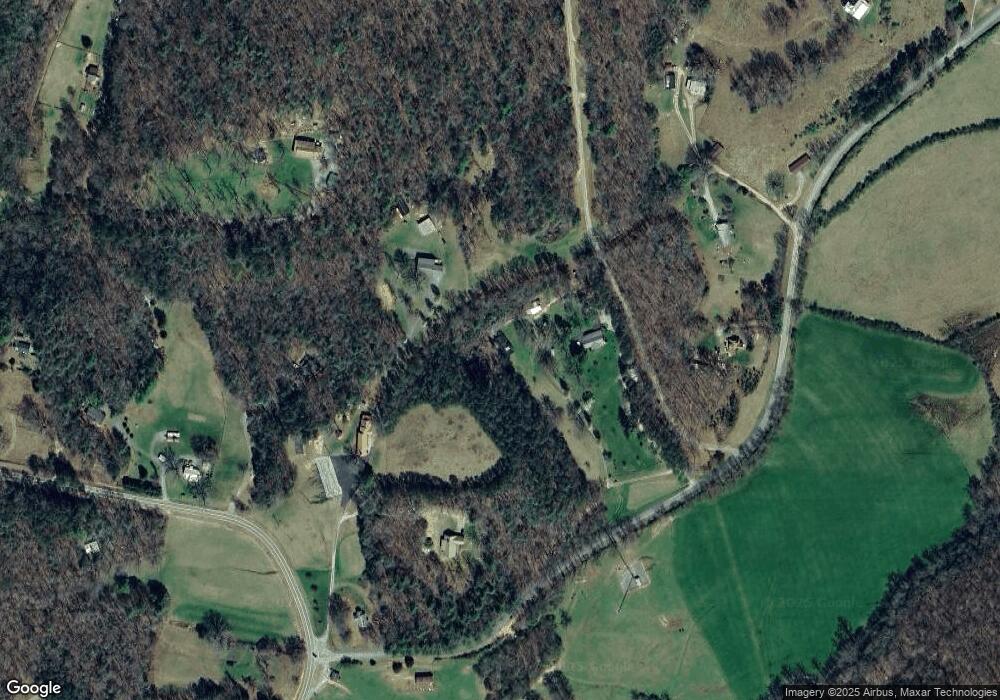
Map
Nearby Homes
- 16810 Morganton Hwy
- 77 Beaver's Cove
- 180 Shepherds Ridge
- Lot 38 Shepherds Way
- 145 Hoot Owl Ridge
- 195 Hoot Owl Ridge
- 164 Hoot Owl Hill
- 366 Shepherds Way
- 455 Shepherds Walk
- 74 Shepherds Trail
- 558 Tipton Springs Rd
- Lot 37 Picklesimer Mountain Rd
- Lot 4 Picklesimer Mountain Rd
- Lot 38 Picklesimer Mountain Rd
- Vacant Tipton Springs Rd
- 335 Mountain Rd
- 0 N Burgess Gap Rd Unit 24911808
- 0 N Burgess Gap Rd Unit 10610901
- 185 Mountain Rd
- 2722 Daves Rd
- 76 C and C Dr
- 17159 Morganton Hwy
- 17055 Morganton Hwy
- 17055 Morganton Hwy
- 375 Daves Rd
- 63 Platinum Dr
- 17840 Morganton Hwy
- 345 Chapel Branch Rd
- 17019 Morganton Hwy
- 16976 Morganton Hwy
- 17232 Morganton Hwy
- 12 Platinum Dr
- 17290 Morganton Hwy
- 17290 Morganton Hwy
- 0 Circle & Lakeshore
- 16894 Morganton Hwy
- 16895 Morganton Hwy
- 17427 Morganton Hwy
- 357 Wilscot Farms Rd
- 215 Chapel Branch Rd