261 Gopher Ridge Ln Moultrie, GA 31788
Estimated Value: $308,000 - $401,872
--
Bed
2
Baths
1,764
Sq Ft
$207/Sq Ft
Est. Value
About This Home
This home is located at 261 Gopher Ridge Ln, Moultrie, GA 31788 and is currently estimated at $364,624, approximately $206 per square foot. 261 Gopher Ridge Ln is a home located in Colquitt County with nearby schools including Odom Elementary School, Willie J. Williams Middle School, and C.A. Gray Junior High School.
Ownership History
Date
Name
Owned For
Owner Type
Purchase Details
Closed on
Feb 27, 2020
Sold by
Norman Caleb Lee
Bought by
Wilkes Toby R
Current Estimated Value
Home Financials for this Owner
Home Financials are based on the most recent Mortgage that was taken out on this home.
Original Mortgage
$281,792
Interest Rate
3.5%
Mortgage Type
Commercial
Purchase Details
Closed on
Dec 1, 2016
Sold by
Ray T
Bought by
Norman Caleb Lee
Home Financials for this Owner
Home Financials are based on the most recent Mortgage that was taken out on this home.
Original Mortgage
$245,000
Interest Rate
3.54%
Mortgage Type
New Conventional
Purchase Details
Closed on
May 13, 1986
Bought by
Baron Ray T
Create a Home Valuation Report for This Property
The Home Valuation Report is an in-depth analysis detailing your home's value as well as a comparison with similar homes in the area
Home Values in the Area
Average Home Value in this Area
Purchase History
| Date | Buyer | Sale Price | Title Company |
|---|---|---|---|
| Wilkes Toby R | $300,000 | -- | |
| Norman Caleb Lee | $245,000 | -- | |
| Baron Ray T | $20,500 | -- |
Source: Public Records
Mortgage History
| Date | Status | Borrower | Loan Amount |
|---|---|---|---|
| Closed | Wilkes Toby R | $281,792 | |
| Previous Owner | Norman Caleb Lee | $245,000 |
Source: Public Records
Tax History Compared to Growth
Tax History
| Year | Tax Paid | Tax Assessment Tax Assessment Total Assessment is a certain percentage of the fair market value that is determined by local assessors to be the total taxable value of land and additions on the property. | Land | Improvement |
|---|---|---|---|---|
| 2024 | $2,363 | $128,982 | $19,611 | $109,371 |
| 2023 | $2,720 | $101,727 | $19,611 | $82,116 |
| 2022 | $2,070 | $86,929 | $19,611 | $67,318 |
| 2021 | $1,822 | $75,048 | $16,945 | $58,103 |
| 2020 | $1,855 | $75,048 | $16,945 | $58,103 |
| 2019 | $2,063 | $75,048 | $16,945 | $58,103 |
| 2018 | $1,920 | $75,048 | $16,945 | $58,103 |
| 2017 | $2,258 | $82,983 | $24,880 | $58,103 |
| 2016 | $2,199 | $81,732 | $24,880 | $56,852 |
| 2015 | $2,218 | $81,732 | $24,880 | $56,852 |
| 2014 | $2,175 | $81,732 | $24,880 | $56,852 |
| 2013 | -- | $81,732 | $24,880 | $56,852 |
Source: Public Records
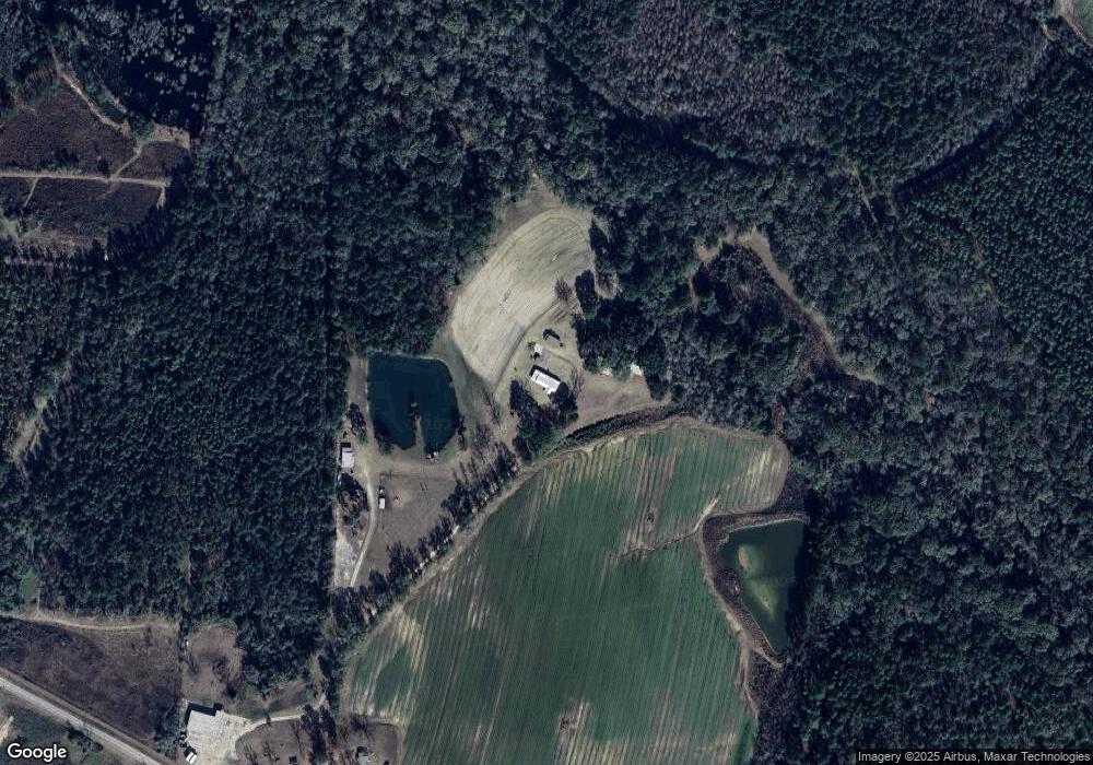
Map
Nearby Homes
- 2262 Sardis Church Rd
- 277 Indian Creek Subdivision
- 0 Sardis Church Rd
- 1114 Cannon Rd
- 5940 Georgia 37
- 0 Upper Trail Unit 913421
- 0 Upper Trail Unit 913422
- 182 Horseshoe Dr
- 1113 Georgia 133
- 292 Robin Ln
- 5808 Georgia 133
- 124 Flint Dr
- 157 Quail Ridge
- 270 Old Timey Trail
- 132 Tallokas Trail
- 313 Langford St
- 410 Indian Trail
- 0 Old Timey Trail
- 410 Railroad St
- 0 Southerland Ave
- 150 Gopher Ridge Ln
- 149 Gopher Ridge Ln
- 2479 Sardis Church Rd
- 2478 Sardis Church Rd
- 2357 Sardis Church Rd
- 2303 Sardis Church Rd
- 2708 Sardis Church Rd
- 2272 Sardis Church Rd
- 2263 Sardis Church Rd
- 107 Mcmullen Rd
- 2790 Sardis Church Rd
- 339 B Allman Rd
- 2195 Sardis Church Rd
- 919 Skipper Rd
- 664 Skipper Rd
- 2764 Sardis Church Rd
- 2791 Sardis Church Rd
- 311 B Allman Rd
- 314 B Allman Rd
- 300 B Allman Rd