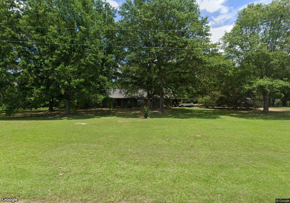
261 Kearney Rd Canton, MS 39046
Estimated Value: $258,373 - $440,000
4
Beds
2
Baths
3,150
Sq Ft
$110/Sq Ft
Est. Value
About This Home
This home is located at 261 Kearney Rd, Canton, MS 39046 and is currently estimated at $346,093, approximately $109 per square foot. 261 Kearney Rd is a home located in Madison County with nearby schools including Canton High School.
Ownership History
Date
Name
Owned For
Owner Type
Purchase Details
Closed on
Dec 28, 2012
Sold by
The City Of Canton
Bought by
Lamkin Pam
Current Estimated Value
Purchase Details
Closed on
Sep 24, 2012
Sold by
Lamkin Terrel B and Lamkin Pamela F
Bought by
Lamkin Terrel B and Lamkin Pamelia F
Home Financials for this Owner
Home Financials are based on the most recent Mortgage that was taken out on this home.
Original Mortgage
$178,000
Interest Rate
3.68%
Mortgage Type
New Conventional
Create a Home Valuation Report for This Property
The Home Valuation Report is an in-depth analysis detailing your home's value as well as a comparison with similar homes in the area
Purchase History
| Date | Buyer | Sale Price | Title Company |
|---|---|---|---|
| Lamkin Pam | $900 | None Available | |
| Lamkin Terrel B | -- | None Available |
Source: Public Records
Mortgage History
| Date | Status | Borrower | Loan Amount |
|---|---|---|---|
| Previous Owner | Lamkin Terrel B | $178,000 |
Source: Public Records
Tax History
| Year | Tax Paid | Tax Assessment Tax Assessment Total Assessment is a certain percentage of the fair market value that is determined by local assessors to be the total taxable value of land and additions on the property. | Land | Improvement |
|---|---|---|---|---|
| 2025 | $850 | $16,365 | $0 | $0 |
| 2024 | $850 | $16,365 | $0 | $0 |
| 2023 | $844 | $16,365 | $0 | $0 |
| 2022 | $844 | $16,365 | $0 | $0 |
| 2021 | $790 | $15,682 | $0 | $0 |
| 2020 | $789 | $15,682 | $0 | $0 |
| 2019 | $789 | $15,682 | $0 | $0 |
| 2018 | $789 | $15,682 | $0 | $0 |
| 2017 | $762 | $15,409 | $0 | $0 |
| 2016 | $990 | $17,942 | $0 | $0 |
| 2015 | $1,401 | $17,942 | $0 | $0 |
| 2014 | $1,288 | $17,942 | $0 | $0 |
Source: Public Records
Map
Nearby Homes
- 476 Hart Rd
- 389 Moss Rd
- 290 Robinson Rd
- 205 Avondale Rd
- 0 Dampeer Rd
- 319 Glenfield Rd
- 224 Fox Ln
- 000 Sharon Rd
- 00 Sharon Rd
- 0 Mississippi 43
- 125 Lakeview Dr
- 2369 Mississippi 43
- Hwy 43, Canton Mississippi 43
- 2435 Mississippi 43
- Robinson Road Lot: 1
- 612 Woodland Dr
- 2204 Mississippi 16 Unit B
- 502 Black Cherry Cove
- 110 Bailey Cove
- 109 Brunswick Cove
Your Personal Tour Guide
Ask me questions while you tour the home.