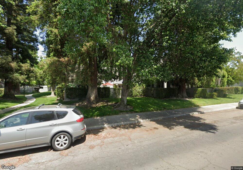
261 Leveland Ln Unit D Modesto, CA 95350
Central Modesto NeighborhoodEstimated Value: $349,000 - $505,000
2
Beds
2
Baths
1,913
Sq Ft
$234/Sq Ft
Est. Value
About This Home
This home is located at 261 Leveland Ln Unit D, Modesto, CA 95350 and is currently estimated at $446,957, approximately $233 per square foot. 261 Leveland Ln Unit D is a home located in Stanislaus County with nearby schools including Woodrow Elementary School, Somerset Middle School, and Grace M. Davis High School.
Ownership History
Date
Name
Owned For
Owner Type
Purchase Details
Closed on
Dec 31, 1997
Sold by
Franceschi Harry D and Franceschi Diana
Bought by
Francheschi Harry D and Franceschi Diana B
Current Estimated Value
Purchase Details
Closed on
Oct 22, 1996
Sold by
Manley William G
Bought by
Franceschi Harry D and Franceschi Diana
Purchase Details
Closed on
Jul 15, 1994
Sold by
Kreutz Needa M and Younger Laura
Bought by
Manley William G and Manley Marihelen
Home Financials for this Owner
Home Financials are based on the most recent Mortgage that was taken out on this home.
Original Mortgage
$100,000
Interest Rate
8.65%
Mortgage Type
Purchase Money Mortgage
Create a Home Valuation Report for This Property
The Home Valuation Report is an in-depth analysis detailing your home's value as well as a comparison with similar homes in the area
Home Values in the Area
Average Home Value in this Area
Purchase History
| Date | Buyer | Sale Price | Title Company |
|---|---|---|---|
| Francheschi Harry D | -- | -- | |
| Franceschi Harry D | $181,000 | Fidelity National Title | |
| Manley William G | $190,000 | North American Title Company |
Source: Public Records
Mortgage History
| Date | Status | Borrower | Loan Amount |
|---|---|---|---|
| Previous Owner | Manley William G | $100,000 |
Source: Public Records
Tax History
| Year | Tax Paid | Tax Assessment Tax Assessment Total Assessment is a certain percentage of the fair market value that is determined by local assessors to be the total taxable value of land and additions on the property. | Land | Improvement |
|---|---|---|---|---|
| 2025 | $3,257 | $294,778 | $81,426 | $213,352 |
| 2024 | $3,199 | $288,999 | $79,830 | $209,169 |
| 2023 | $3,138 | $283,333 | $78,265 | $205,068 |
| 2022 | $3,011 | $277,779 | $76,731 | $201,048 |
| 2021 | $2,958 | $272,333 | $75,227 | $197,106 |
| 2020 | $2,915 | $269,541 | $74,456 | $195,085 |
| 2019 | $2,862 | $264,257 | $72,997 | $191,260 |
| 2018 | $2,806 | $259,076 | $71,566 | $187,510 |
| 2017 | $2,739 | $253,997 | $70,163 | $183,834 |
| 2016 | $2,723 | $249,018 | $68,788 | $180,230 |
| 2015 | $2,683 | $245,278 | $67,755 | $177,523 |
| 2014 | $2,296 | $206,500 | $45,000 | $161,500 |
Source: Public Records
Map
Nearby Homes
- 230 W Rumble Rd Unit C
- 230 W Rumble Rd Unit B
- 2768 Sherwood Ave Unit B
- 2840 Sherwood Ave Unit A
- 2410 Sherwood Ave
- 205 Floyd Ave Unit 15
- 3012 Guinevere Ln
- 365 Birchwood Ct
- 215 Floyd Ave Unit 31
- 221 Bruce Ct
- 3312 Whitehorse Ave
- 2013 Sherwood Ave
- 1921 Sherwood Ave
- 2001 Enslen Ave
- 2805 Westchester Ln
- 413 Redford Ln
- 2014 Codding Dr
- 208 Tokay Ave
- 161 Ribier Ave
- 917 Woodrow Ave
- 261 Leveland Ln Unit A
- 261 Leveland Ln Unit B
- 261 Leveland Ln Unit C
- 260 W Rumble Rd Unit E
- 260 W Rumble Rd Unit A
- 260 W Rumble Rd Unit B
- 260 W Rumble Rd Unit C
- 260 W Rumble Rd Unit D
- 251 Leveland Ln
- 251 Leveland Ln Unit B
- 278 W Rumble Rd Unit A
- 241 Leveland Ln Unit A
- 241 Leveland Ln Unit B
- 241 Leveland Ln Unit D
- 241 Leveland Ln Unit C
- 271 Leveland Ln Unit B
- 271 Leveland Ln Unit A
- 271 Leveland Ln Unit C
- 240 W Rumble Rd Unit C
- 240 W Rumble Rd Unit A
