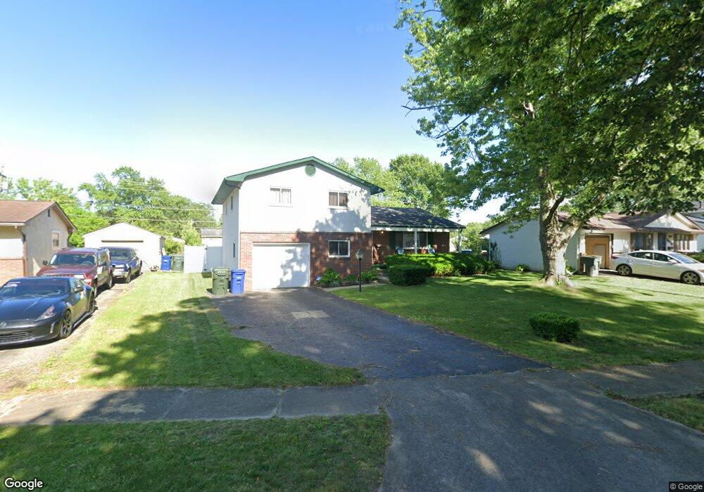
2614 Brownfield Rd Columbus, OH 43232
Walnut Heights NeighborhoodEstimated Value: $216,000 - $250,000
3
Beds
2
Baths
1,606
Sq Ft
$148/Sq Ft
Est. Value
About This Home
This home is located at 2614 Brownfield Rd, Columbus, OH 43232 and is currently estimated at $238,401, approximately $148 per square foot. 2614 Brownfield Rd is a home located in Franklin County with nearby schools including Liberty Elementary School, Yorktown Middle School, and Independence High School.
Ownership History
Date
Name
Owned For
Owner Type
Purchase Details
Closed on
Oct 23, 2009
Sold by
Castleberry Robert A
Bought by
Mcknight Larhonda R
Current Estimated Value
Home Financials for this Owner
Home Financials are based on the most recent Mortgage that was taken out on this home.
Original Mortgage
$88,369
Outstanding Balance
$57,792
Interest Rate
5.11%
Mortgage Type
FHA
Estimated Equity
$180,609
Purchase Details
Closed on
Apr 23, 1992
Bought by
Castleberry Robert A
Purchase Details
Closed on
Apr 20, 1992
Purchase Details
Closed on
Dec 19, 1988
Create a Home Valuation Report for This Property
The Home Valuation Report is an in-depth analysis detailing your home's value as well as a comparison with similar homes in the area
Home Values in the Area
Average Home Value in this Area
Purchase History
| Date | Buyer | Sale Price | Title Company |
|---|---|---|---|
| Mcknight Larhonda R | $90,000 | Chicago Tit | |
| Castleberry Robert A | $75,500 | -- | |
| -- | $75,500 | -- | |
| -- | $63,000 | -- |
Source: Public Records
Mortgage History
| Date | Status | Borrower | Loan Amount |
|---|---|---|---|
| Open | Mcknight Larhonda R | $88,369 |
Source: Public Records
Tax History Compared to Growth
Tax History
| Year | Tax Paid | Tax Assessment Tax Assessment Total Assessment is a certain percentage of the fair market value that is determined by local assessors to be the total taxable value of land and additions on the property. | Land | Improvement |
|---|---|---|---|---|
| 2024 | $3,159 | $70,390 | $19,250 | $51,140 |
| 2023 | $3,119 | $70,385 | $19,250 | $51,135 |
| 2022 | $1,928 | $37,170 | $6,790 | $30,380 |
| 2021 | $1,931 | $37,170 | $6,790 | $30,380 |
| 2020 | $1,934 | $37,170 | $6,790 | $30,380 |
| 2019 | $1,862 | $30,700 | $5,670 | $25,030 |
| 2018 | $1,805 | $30,700 | $5,670 | $25,030 |
| 2017 | $1,861 | $30,700 | $5,670 | $25,030 |
| 2016 | $1,929 | $29,120 | $4,690 | $24,430 |
| 2015 | $1,751 | $29,120 | $4,690 | $24,430 |
| 2014 | $1,755 | $29,120 | $4,690 | $24,430 |
| 2013 | $963 | $32,375 | $5,215 | $27,160 |
Source: Public Records
Map
Nearby Homes
- 2651 Brownfield Rd
- 5268 Carbondale Dr
- 2705 Denmark Rd
- 5278 Glenbriar Ct
- 5114 Carbondale Dr
- 2730 Raphael Dr
- 2447 Maybury Rd
- 5123 Jameson Dr
- 5061 Labelle Dr
- 5144 Botsford Dr
- 2736 Barrows Rd
- 2744 Barrows Rd
- 5011 Refugee Rd
- 5377 Bleaker Ave
- 2615 Carbondale Place
- 5373 Spire Ln
- 5401 Spire Ln
- 2998 Osgood Rd E
- 2991 Blue Moon Dr
- 5125 Upton Rd N
- 2606 Brownfield Rd
- 2622 Brownfield Rd
- 2630 Brownfield Rd
- 2600 Brownfield Rd
- 2623 Dellworth St
- 2615 Dellworth St
- 2631 Dellworth St
- 2609 Dellworth St
- 2639 Dellworth St
- 2638 Brownfield Rd
- 5291 Carbondale Dr
- 2611 Brownfield Rd
- 2605 Brownfield Rd
- 2619 Brownfield Rd
- 2593 Brownfield Rd
- 2647 Dellworth St
- 2627 Brownfield Rd
- 2646 Brownfield Rd
- 5269 Carbondale Dr
- 2635 Brownfield Rd