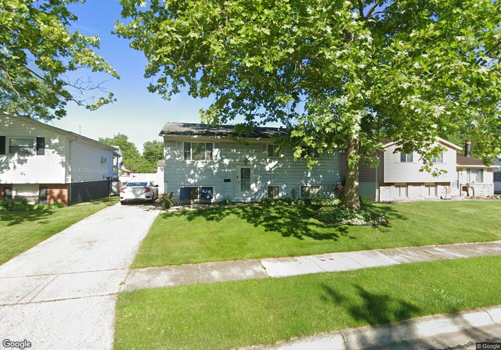
2634 Dellworth St Columbus, OH 43232
Walnut Heights NeighborhoodEstimated Value: $199,492 - $258,000
4
Beds
2
Baths
1,080
Sq Ft
$213/Sq Ft
Est. Value
About This Home
This home is located at 2634 Dellworth St, Columbus, OH 43232 and is currently estimated at $230,123, approximately $213 per square foot. 2634 Dellworth St is a home located in Franklin County with nearby schools including Liberty Elementary School, Yorktown Middle School, and Independence High School.
Ownership History
Date
Name
Owned For
Owner Type
Purchase Details
Closed on
Dec 26, 1995
Sold by
Merriman William M
Bought by
Carolyn C Harper and Carolyn Leigh
Current Estimated Value
Home Financials for this Owner
Home Financials are based on the most recent Mortgage that was taken out on this home.
Original Mortgage
$63,000
Outstanding Balance
$1,723
Interest Rate
7.43%
Mortgage Type
New Conventional
Estimated Equity
$228,400
Purchase Details
Closed on
Mar 1, 1979
Create a Home Valuation Report for This Property
The Home Valuation Report is an in-depth analysis detailing your home's value as well as a comparison with similar homes in the area
Home Values in the Area
Average Home Value in this Area
Purchase History
| Date | Buyer | Sale Price | Title Company |
|---|---|---|---|
| Carolyn C Harper | $70,000 | -- | |
| -- | $37,500 | -- |
Source: Public Records
Mortgage History
| Date | Status | Borrower | Loan Amount |
|---|---|---|---|
| Open | Carolyn C Harper | $63,000 |
Source: Public Records
Tax History Compared to Growth
Tax History
| Year | Tax Paid | Tax Assessment Tax Assessment Total Assessment is a certain percentage of the fair market value that is determined by local assessors to be the total taxable value of land and additions on the property. | Land | Improvement |
|---|---|---|---|---|
| 2024 | $3,038 | $67,690 | $17,220 | $50,470 |
| 2023 | $2,999 | $67,690 | $17,220 | $50,470 |
| 2022 | $1,777 | $34,270 | $5,570 | $28,700 |
| 2021 | $1,781 | $34,270 | $5,570 | $28,700 |
| 2020 | $1,783 | $34,270 | $5,570 | $28,700 |
| 2019 | $1,746 | $28,780 | $4,660 | $24,120 |
| 2018 | $1,671 | $28,780 | $4,660 | $24,120 |
| 2017 | $1,745 | $28,780 | $4,660 | $24,120 |
| 2016 | $1,762 | $26,600 | $3,850 | $22,750 |
| 2015 | $1,600 | $26,600 | $3,850 | $22,750 |
| 2014 | $1,603 | $26,600 | $3,850 | $22,750 |
| 2013 | $1,757 | $29,540 | $4,270 | $25,270 |
Source: Public Records
Map
Nearby Homes
- 2651 Brownfield Rd
- 5268 Carbondale Dr
- 5278 Glenbriar Ct
- 2705 Denmark Rd
- 2730 Raphael Dr
- 2736 Barrows Rd
- 2744 Barrows Rd
- 5114 Carbondale Dr
- 2447 Maybury Rd
- 5123 Jameson Dr
- 5061 Labelle Dr
- 5144 Botsford Dr
- 5377 Bleaker Ave
- 5011 Refugee Rd
- 2991 Blue Moon Dr
- 5401 Spire Ln
- 5373 Spire Ln
- 2615 Carbondale Place
- 2998 Osgood Rd E
- 5125 Upton Rd N
- 2642 Dellworth St
- 2626 Dellworth St
- 2648 Dellworth St
- 2620 Dellworth St
- 2639 Glenbriar St
- 2647 Glenbriar St
- 2633 Glenbriar St
- 2653 Glenbriar St
- 2654 Dellworth St
- 2631 Dellworth St
- 2625 Glenbriar St
- 2639 Dellworth St
- 2623 Dellworth St
- 2659 Glenbriar St
- 2647 Dellworth St
- 2615 Dellworth St
- 2662 Dellworth St
- 2619 Glenbriar St
- 2606 Dellworth St
- 2667 Glenbriar St