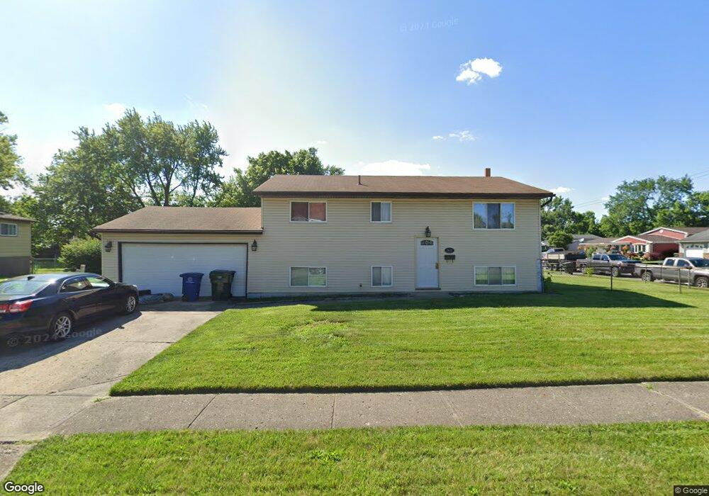
2635 Mellowbrook St Columbus, OH 43232
Walnut Heights NeighborhoodEstimated Value: $201,000 - $256,000
4
Beds
2
Baths
945
Sq Ft
$244/Sq Ft
Est. Value
About This Home
This home is located at 2635 Mellowbrook St, Columbus, OH 43232 and is currently estimated at $230,662, approximately $244 per square foot. 2635 Mellowbrook St is a home located in Franklin County with nearby schools including Liberty Elementary School, Yorktown Middle School, and Independence High School.
Ownership History
Date
Name
Owned For
Owner Type
Purchase Details
Closed on
Apr 5, 2024
Sold by
Simmons Vincent J
Bought by
Simmons Thomasena C
Current Estimated Value
Purchase Details
Closed on
Jan 17, 2023
Sold by
Simmons Thomasena C
Bought by
Simmons Thomasena C and Simmons Vincent J
Purchase Details
Closed on
Sep 1, 1986
Purchase Details
Closed on
Jan 1, 1977
Create a Home Valuation Report for This Property
The Home Valuation Report is an in-depth analysis detailing your home's value as well as a comparison with similar homes in the area
Home Values in the Area
Average Home Value in this Area
Purchase History
| Date | Buyer | Sale Price | Title Company |
|---|---|---|---|
| Simmons Thomasena C | -- | None Listed On Document | |
| Simmons Thomasena C | -- | None Listed On Document | |
| Simmons Thomasena C | -- | -- | |
| -- | $53,900 | -- | |
| -- | $36,500 | -- |
Source: Public Records
Tax History Compared to Growth
Tax History
| Year | Tax Paid | Tax Assessment Tax Assessment Total Assessment is a certain percentage of the fair market value that is determined by local assessors to be the total taxable value of land and additions on the property. | Land | Improvement |
|---|---|---|---|---|
| 2024 | $2,793 | $72,030 | $18,690 | $53,340 |
| 2023 | $2,785 | $72,030 | $18,690 | $53,340 |
| 2022 | $2,132 | $36,020 | $7,350 | $28,670 |
| 2021 | $1,417 | $36,020 | $7,350 | $28,670 |
| 2020 | $1,419 | $36,020 | $7,350 | $28,670 |
| 2019 | $1,241 | $29,200 | $6,130 | $23,070 |
| 2018 | $1,216 | $29,200 | $6,130 | $23,070 |
| 2017 | $1,277 | $29,200 | $6,130 | $23,070 |
| 2016 | $1,315 | $28,600 | $4,830 | $23,770 |
| 2015 | $1,179 | $28,600 | $4,830 | $23,770 |
| 2014 | $1,197 | $28,600 | $4,830 | $23,770 |
| 2013 | $684 | $31,745 | $5,355 | $26,390 |
Source: Public Records
Map
Nearby Homes
- 2730 Raphael Dr
- 2651 Brownfield Rd
- 5278 Glenbriar Ct
- 5268 Carbondale Dr
- 2736 Barrows Rd
- 2744 Barrows Rd
- 2705 Denmark Rd
- 5377 Bleaker Ave
- 2447 Maybury Rd
- 5114 Carbondale Dr
- 2991 Blue Moon Dr
- 5123 Jameson Dr
- 5144 Botsford Dr
- 5061 Labelle Dr
- 5401 Spire Ln
- 5011 Refugee Rd
- 5373 Spire Ln
- 2998 Osgood Rd E
- 2615 Carbondale Place
- 3148 Aldgate St
- 5381 Carbondale Dr
- 2641 Mellowbrook St
- 5375 Carbondale Dr
- 2644 Mellowbrook St
- 2649 Mellowbrook St
- 2656 Mellowbrook St
- 5403 Carbondale Dr
- 2624 Glenbriar St
- 2630 Glenbriar St
- 5398 Carbondale Dr
- 2616 Glenbriar St
- 2657 Mellowbrook St
- 5404 Carbondale Dr
- 5392 Carbondale Dr
- 2636 Glenbriar St
- 5410 Carbondale Dr
- 5367 Carbondale Dr
- 5409 Carbondale Dr
- 5386 Carbondale Dr
- 2644 Glenbriar St