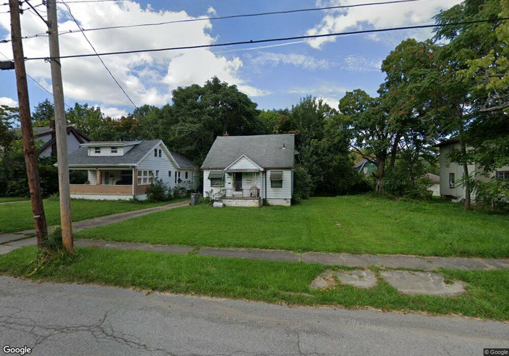
264 E Auburndale Ave Youngstown, OH 44507
Cottage Grove NeighborhoodEstimated Value: $49,135 - $61,000
3
Beds
1
Bath
1,314
Sq Ft
$43/Sq Ft
Est. Value
About This Home
This home is located at 264 E Auburndale Ave, Youngstown, OH 44507 and is currently estimated at $56,534, approximately $43 per square foot. 264 E Auburndale Ave is a home located in Mahoning County with nearby schools including Taft Elementary School, Williamson Elementary School, and East High School.
Ownership History
Date
Name
Owned For
Owner Type
Purchase Details
Closed on
Dec 27, 1995
Sold by
Yurak Vincent S
Bought by
Thomas Donna R
Current Estimated Value
Home Financials for this Owner
Home Financials are based on the most recent Mortgage that was taken out on this home.
Original Mortgage
$21,000
Interest Rate
7.42%
Mortgage Type
New Conventional
Purchase Details
Closed on
Apr 1, 1983
Bought by
Yurak Vincent S and Yurak Lynda P
Create a Home Valuation Report for This Property
The Home Valuation Report is an in-depth analysis detailing your home's value as well as a comparison with similar homes in the area
Home Values in the Area
Average Home Value in this Area
Purchase History
| Date | Buyer | Sale Price | Title Company |
|---|---|---|---|
| Thomas Donna R | $21,500 | -- | |
| Yurak Vincent S | -- | -- |
Source: Public Records
Mortgage History
| Date | Status | Borrower | Loan Amount |
|---|---|---|---|
| Closed | Thomas Donna R | $21,000 |
Source: Public Records
Tax History
| Year | Tax Paid | Tax Assessment Tax Assessment Total Assessment is a certain percentage of the fair market value that is determined by local assessors to be the total taxable value of land and additions on the property. | Land | Improvement |
|---|---|---|---|---|
| 2025 | $240 | $5,650 | $670 | $4,980 |
| 2024 | $271 | $5,650 | $670 | $4,980 |
| 2023 | $269 | $5,650 | $670 | $4,980 |
| 2022 | $303 | $4,900 | $740 | $4,160 |
| 2021 | $303 | $4,900 | $740 | $4,160 |
| 2020 | $305 | $4,900 | $740 | $4,160 |
| 2019 | $311 | $4,450 | $670 | $3,780 |
| 2018 | $314 | $4,450 | $670 | $3,780 |
| 2017 | $311 | $4,450 | $670 | $3,780 |
| 2016 | $580 | $8,970 | $670 | $8,300 |
| 2015 | $568 | $8,970 | $670 | $8,300 |
| 2014 | $564 | $8,970 | $670 | $8,300 |
| 2013 | $556 | $8,970 | $670 | $8,300 |
Source: Public Records
Map
Nearby Homes
- 221 E Avondale Ave
- 178 E Ravenwood Ave
- 359 Potomac Ave
- 559 E Avondale Ave
- 3919 Rush Blvd
- 328 Marmion Ave
- 582 Roxbury Ave
- 124 E Midlothian Blvd
- 353 Cornell Ave
- 734 Cambridge Ave
- 173 Clarencedale Ave
- 32 E Avondale Ave
- 192 Hollywood Ave
- 4038 Sunset Blvd
- 72 Labelle Ave
- 3031 Market St
- 28 W Philadelphia Ave
- 4206 Rush Blvd
- 3916 Howard St
- 4127 Southern Blvd
- 274 E Auburndale Ave
- 262 E Auburndale Ave
- 258 E Auburndale Ave
- 278 E Auburndale Ave
- 254 E Auburndale Ave
- 269 E Lucius Ave
- 263 E Lucius Ave
- 273 E Lucius Ave
- 250 E Auburndale Ave
- 279 E Lucius Ave
- 267 E Auburndale Ave
- 261 E Auburndale Ave
- 259 E Lucius Ave
- 304 E Auburndale Ave
- 257 E Auburndale Ave
- 277 E Auburndale Ave
- 246 E Auburndale Ave
- 253 E Lucius Ave
- 253 E Auburndale Ave
- 249 E Lucius Ave
Your Personal Tour Guide
Ask me questions while you tour the home.