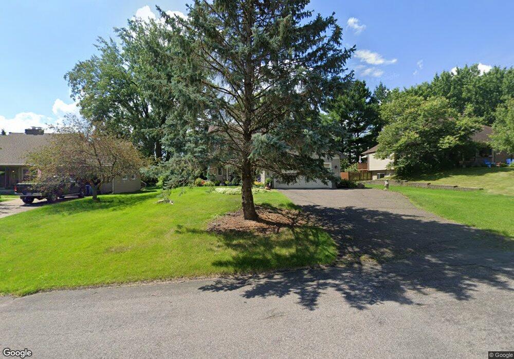
2660 Suzanne Cir Saint Paul, MN 55110
Estimated Value: $461,000 - $491,000
4
Beds
4
Baths
2,328
Sq Ft
$204/Sq Ft
Est. Value
About This Home
This home is located at 2660 Suzanne Cir, Saint Paul, MN 55110 and is currently estimated at $474,764, approximately $203 per square foot. 2660 Suzanne Cir is a home located in Ramsey County with nearby schools including Lincoln Elementary School, Central Middle School, and St. Jude of the Lake Catholic School.
Ownership History
Date
Name
Owned For
Owner Type
Purchase Details
Closed on
Sep 23, 2013
Sold by
Hines Gerald E and Hines Mary Ann
Bought by
Walior William S and Walior Teresa N
Current Estimated Value
Home Financials for this Owner
Home Financials are based on the most recent Mortgage that was taken out on this home.
Original Mortgage
$200,800
Outstanding Balance
$149,784
Interest Rate
4.39%
Mortgage Type
New Conventional
Estimated Equity
$324,980
Create a Home Valuation Report for This Property
The Home Valuation Report is an in-depth analysis detailing your home's value as well as a comparison with similar homes in the area
Home Values in the Area
Average Home Value in this Area
Purchase History
| Date | Buyer | Sale Price | Title Company |
|---|---|---|---|
| Walior William S | $258,606 | Burnet Title |
Source: Public Records
Mortgage History
| Date | Status | Borrower | Loan Amount |
|---|---|---|---|
| Open | Walior William S | $200,800 |
Source: Public Records
Tax History Compared to Growth
Tax History
| Year | Tax Paid | Tax Assessment Tax Assessment Total Assessment is a certain percentage of the fair market value that is determined by local assessors to be the total taxable value of land and additions on the property. | Land | Improvement |
|---|---|---|---|---|
| 2025 | $5,030 | $427,400 | $90,800 | $336,600 |
| 2023 | $5,030 | $389,700 | $90,800 | $298,900 |
| 2022 | $4,046 | $355,600 | $90,800 | $264,800 |
| 2021 | $3,882 | $299,400 | $18,200 | $281,200 |
| 2020 | $4,404 | $297,000 | $90,800 | $206,200 |
| 2019 | $3,724 | $318,500 | $18,200 | $300,300 |
| 2018 | $3,634 | $290,800 | $90,800 | $200,000 |
| 2017 | $3,296 | $289,300 | $90,800 | $198,500 |
| 2016 | $3,230 | $0 | $0 | $0 |
| 2015 | $3,402 | $242,600 | $84,700 | $157,900 |
| 2014 | $3,290 | $0 | $0 | $0 |
Source: Public Records
Map
Nearby Homes
- 2656 Richard Dr
- 5553 Fenway Ct
- 5347 Portland Ave
- TBD Park Ave
- 2655 Stillwater St
- 5285 Northwest Ave
- 5234 Grand Ave
- 2574 1st St
- 5264 Pathways Ave
- 5200 Pathways Ave Unit 105
- 5924 Polar Bear Ln
- 5366 Eagle St
- 42 Eldorado Cir
- 22 Dellwood Ave
- 2177 Overlake Ave
- 7 Bayhill Rd
- 10440 Hadley Cir N
- 5246 Division Ave
- 11 High Point Rd
- 1 Bayhill Rd