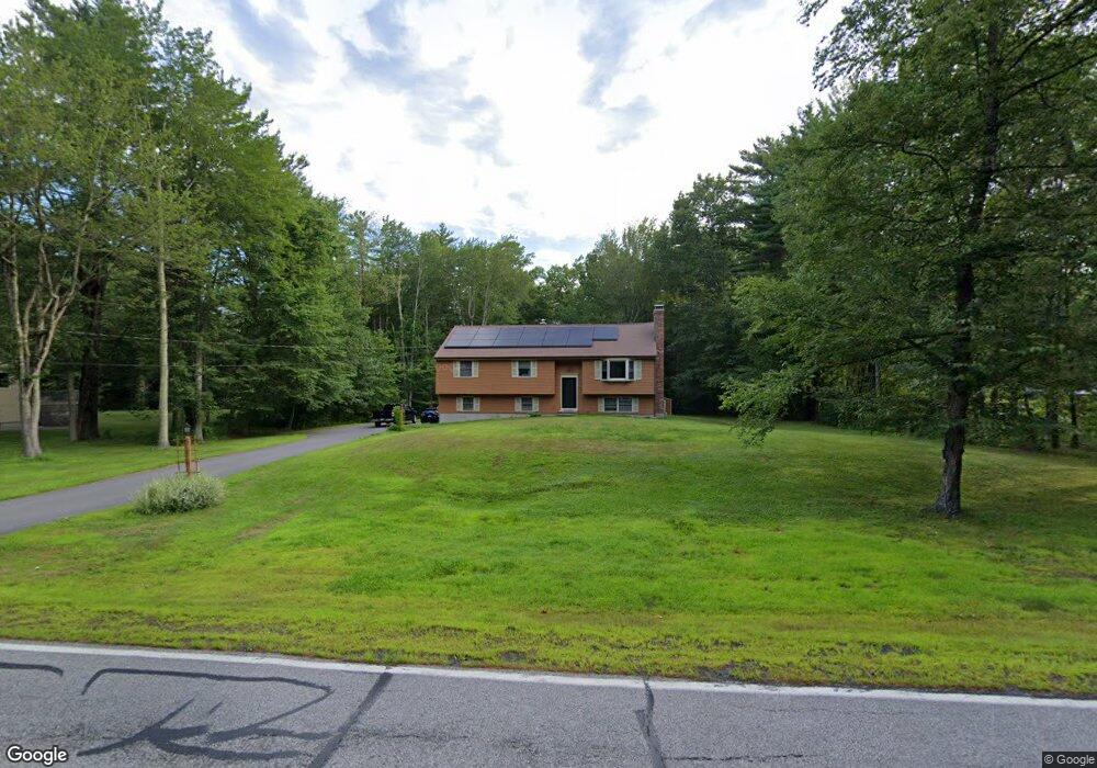
267 Baboosic Lake Rd MerriMacK, NH 03054
Estimated Value: $600,637 - $660,000
4
Beds
2
Baths
2,590
Sq Ft
$242/Sq Ft
Est. Value
About This Home
This home is located at 267 Baboosic Lake Rd, MerriMacK, NH 03054 and is currently estimated at $625,659, approximately $241 per square foot. 267 Baboosic Lake Rd is a home located in Hillsborough County with nearby schools including James Mastricola Elementary School, Merrimack Middle School, and James Mastricola Upper Elementary School.
Ownership History
Date
Name
Owned For
Owner Type
Purchase Details
Closed on
Aug 13, 2025
Sold by
Debruin Raymond A and Debruin Kristina P
Bought by
Debruin Ft and Debruin
Current Estimated Value
Purchase Details
Closed on
Jun 28, 2001
Sold by
Degray William H and Degray Linda J
Bought by
Debruin Raymond A and Debruin Kristin P
Home Financials for this Owner
Home Financials are based on the most recent Mortgage that was taken out on this home.
Original Mortgage
$160,000
Interest Rate
7.14%
Create a Home Valuation Report for This Property
The Home Valuation Report is an in-depth analysis detailing your home's value as well as a comparison with similar homes in the area
Home Values in the Area
Average Home Value in this Area
Purchase History
| Date | Buyer | Sale Price | Title Company |
|---|---|---|---|
| Debruin Ft | -- | -- | |
| Debruin Ft | -- | -- | |
| Debruin Raymond A | $200,000 | -- | |
| Debruin Raymond A | $200,000 | -- |
Source: Public Records
Mortgage History
| Date | Status | Borrower | Loan Amount |
|---|---|---|---|
| Previous Owner | Debruin Raymond A | $61,900 | |
| Previous Owner | Debruin Raymond A | $50,000 | |
| Previous Owner | Debruin Raymond A | $160,000 |
Source: Public Records
Tax History Compared to Growth
Tax History
| Year | Tax Paid | Tax Assessment Tax Assessment Total Assessment is a certain percentage of the fair market value that is determined by local assessors to be the total taxable value of land and additions on the property. | Land | Improvement |
|---|---|---|---|---|
| 2024 | $8,806 | $425,600 | $190,000 | $235,600 |
| 2023 | $8,278 | $425,600 | $190,000 | $235,600 |
| 2022 | $7,161 | $412,000 | $190,000 | $222,000 |
| 2021 | $7,074 | $412,000 | $190,000 | $222,000 |
| 2020 | $6,927 | $287,900 | $133,000 | $154,900 |
| 2019 | $6,947 | $287,900 | $133,000 | $154,900 |
| 2018 | $6,944 | $287,900 | $133,000 | $154,900 |
| 2017 | $6,698 | $286,600 | $133,000 | $153,600 |
| 2016 | $6,532 | $286,600 | $133,000 | $153,600 |
| 2015 | $6,331 | $256,100 | $123,500 | $132,600 |
| 2014 | $6,169 | $256,100 | $123,500 | $132,600 |
| 2013 | $6,123 | $256,100 | $123,500 | $132,600 |
Source: Public Records
Map
Nearby Homes
- 269 Baboosic Lake Rd
- 265 Baboosic Lake Rd
- 273 Baboosic Lake Rd
- 270 Baboosic Lake Rd
- 274 Baboosic Lake Rd
- 263 Baboosic Lake Rd
- 264 Baboosic Lake Rd
- 25 Windsor Dr
- 24 Windsor Dr
- 261 Baboosic Lake Rd
- 278 Baboosic Lake Rd
- 260 Baboosic Lake Rd
- 23 Windsor Dr
- 404 S Baboosic Lake Rd
- 22 Windsor Dr
- 5 Samuel J Dr
- 3 Samuel J Dr
- 283 Baboosic Lake Rd
- 281 Baboosic Lake Rd
- 31 Parker Dr