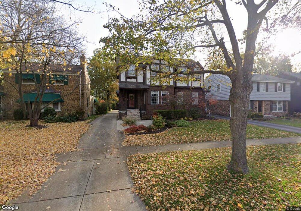
267 Bartram Rd Riverside, IL 60546
Estimated Value: $587,057 - $718,000
4
Beds
2
Baths
1,965
Sq Ft
$334/Sq Ft
Est. Value
About This Home
This home is located at 267 Bartram Rd, Riverside, IL 60546 and is currently estimated at $656,514, approximately $334 per square foot. 267 Bartram Rd is a home located in Cook County with nearby schools including A F Ames Elementary School, L J Hauser Jr High School, and Riverside Brookfield High School.
Create a Home Valuation Report for This Property
The Home Valuation Report is an in-depth analysis detailing your home's value as well as a comparison with similar homes in the area
Home Values in the Area
Average Home Value in this Area
Tax History
| Year | Tax Paid | Tax Assessment Tax Assessment Total Assessment is a certain percentage of the fair market value that is determined by local assessors to be the total taxable value of land and additions on the property. | Land | Improvement |
|---|---|---|---|---|
| 2025 | $13,766 | $49,000 | $10,500 | $38,500 |
| 2024 | $13,766 | $49,000 | $10,500 | $38,500 |
| 2023 | $16,569 | $49,000 | $10,500 | $38,500 |
| 2022 | $16,569 | $49,414 | $9,188 | $40,226 |
| 2021 | $15,980 | $49,413 | $9,187 | $40,226 |
| 2020 | $15,603 | $49,413 | $9,187 | $40,226 |
| 2019 | $13,684 | $45,052 | $8,400 | $36,652 |
| 2018 | $13,278 | $45,052 | $8,400 | $36,652 |
| 2017 | $12,013 | $42,419 | $8,400 | $34,019 |
| 2016 | $10,342 | $33,649 | $7,350 | $26,299 |
| 2015 | $10,031 | $33,649 | $7,350 | $26,299 |
| 2014 | $9,891 | $33,649 | $7,350 | $26,299 |
| 2013 | $13,020 | $46,241 | $7,350 | $38,891 |
Source: Public Records
Map
Nearby Homes
- 315 Bartram Rd
- 231 Bartram Rd
- 101 Southcote Rd
- 367 Bartram Rd
- 305 Desplaines Ave
- 410 Repton Rd
- 8117 W 30th St
- 269 Shenstone Rd
- 2527 Keystone Ave
- 236 Maplewood Rd
- 220 Maplewood Rd
- 2433 Keystone Ave
- 10 E Burlington St Unit 2C
- 10 E Burlington St Unit 2B
- 478 Kent Rd
- 369 Addison Rd
- 562 Byrd Rd
- 78 Pine Ave
- 2311 Park Ave
- 571 Byrd Rd
Your Personal Tour Guide
Ask me questions while you tour the home.