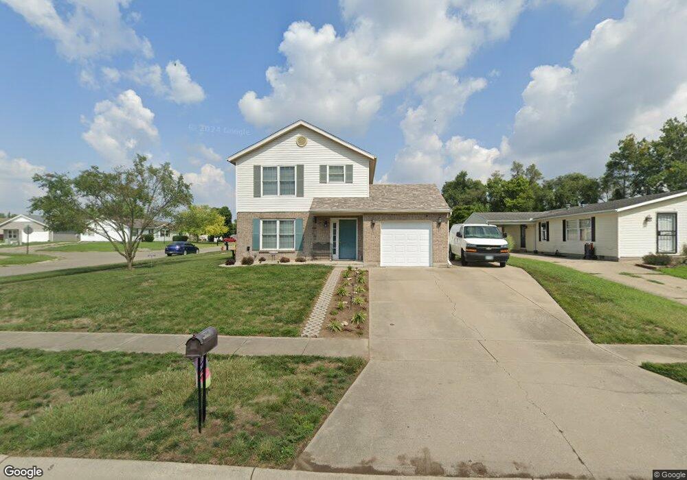
2670 Opal Dr Middletown, OH 45044
Estimated Value: $232,000 - $247,000
3
Beds
3
Baths
1,302
Sq Ft
$183/Sq Ft
Est. Value
About This Home
This home is located at 2670 Opal Dr, Middletown, OH 45044 and is currently estimated at $237,871, approximately $182 per square foot. 2670 Opal Dr is a home located in Butler County with nearby schools including Amanda Elementary School, Highview 6th Grade Center, and Middletown Middle School.
Ownership History
Date
Name
Owned For
Owner Type
Purchase Details
Closed on
Sep 4, 2025
Sold by
Backs Michael S and Backs Jo A
Bought by
Backs Family Trust and Backs
Current Estimated Value
Purchase Details
Closed on
May 11, 2023
Sold by
Blankenship Dwayne A and Blankenship Brandy N
Bought by
Backs Jo A and Backs Michael S
Purchase Details
Closed on
Sep 7, 2007
Sold by
Melanson Kristin L and Guilfoyle Julie N
Bought by
Blankenship Dwayne A
Home Financials for this Owner
Home Financials are based on the most recent Mortgage that was taken out on this home.
Original Mortgage
$125,530
Interest Rate
6.71%
Mortgage Type
FHA
Purchase Details
Closed on
Sep 29, 2000
Sold by
Holiday Homes Inc
Bought by
Melanson Julie N and Melanson Kristin L
Home Financials for this Owner
Home Financials are based on the most recent Mortgage that was taken out on this home.
Original Mortgage
$127,571
Interest Rate
7.99%
Mortgage Type
FHA
Create a Home Valuation Report for This Property
The Home Valuation Report is an in-depth analysis detailing your home's value as well as a comparison with similar homes in the area
Purchase History
| Date | Buyer | Sale Price | Title Company |
|---|---|---|---|
| Backs Family Trust | -- | None Listed On Document | |
| Backs Family Trust | -- | None Listed On Document | |
| Backs Jo A | $210,000 | None Listed On Document | |
| Backs Jo A | $210,000 | None Listed On Document | |
| Blankenship Dwayne A | $127,500 | Attorney | |
| Melanson Julie N | $128,623 | -- |
Source: Public Records
Mortgage History
| Date | Status | Borrower | Loan Amount |
|---|---|---|---|
| Previous Owner | Blankenship Dwayne A | $125,530 | |
| Previous Owner | Melanson Julie N | $127,571 |
Source: Public Records
Tax History
| Year | Tax Paid | Tax Assessment Tax Assessment Total Assessment is a certain percentage of the fair market value that is determined by local assessors to be the total taxable value of land and additions on the property. | Land | Improvement |
|---|---|---|---|---|
| 2025 | $2,869 | $51,560 | $5,530 | $46,030 |
| 2024 | $2,869 | $51,560 | $5,530 | $46,030 |
| 2023 | $2,770 | $55,750 | $5,530 | $50,220 |
| 2022 | $2,331 | $37,270 | $5,530 | $31,740 |
| 2021 | $2,261 | $37,270 | $5,530 | $31,740 |
| 2020 | $2,348 | $37,270 | $5,530 | $31,740 |
| 2019 | $1,925 | $26,620 | $5,470 | $21,150 |
| 2018 | $1,870 | $26,620 | $5,470 | $21,150 |
| 2017 | $1,873 | $26,620 | $5,470 | $21,150 |
| 2016 | $1,778 | $24,060 | $5,470 | $18,590 |
| 2015 | $1,561 | $24,060 | $5,470 | $18,590 |
| 2014 | $1,924 | $24,060 | $5,470 | $18,590 |
| 2013 | $1,924 | $29,040 | $10,040 | $19,000 |
Source: Public Records
Map
Nearby Homes
- 712 Buena Ave
- 609 Buena Ave
- 3202 Ben Harrison St
- 1505 Pershing Ave
- 3106 Rufus St
- 3113 Rufus St
- 802 17th Ave
- 1613 Sheridan Ave
- 716 15th Ave
- 707 15th Ave
- 704 14th Ave
- 706 14th Ave
- 3210 Finley St
- 1503 Brown St
- 709 14th Ave
- 1619 Lafayette Ave
- 801 14th Ave
- 1621 Lafayette Ave
- 2804 Yankee Rd
- 1815 Baltimore St
- 2670 Opal Ct
- 2674 Opal Dr
- 2674 Opal Ct
- 553 Diamond Loop
- 2678 Opal Ct
- 2678 Opal Dr
- 544 Diamond Loop
- 537 Diamond Loop
- 557 Diamond Loop
- 556 Diamond Loop
- 561 Diamond Loop
- 2649 Ruby Ln
- 533 Diamond Loop
- 536 Diamond Loop
- 2677 Opal Dr
- 2650 Ruby Ln
- 565 Diamond Loop
- 2645 Ruby Ln
- 724 Diamond Loop
- 529 Diamond Loop
Your Personal Tour Guide
Ask me questions while you tour the home.