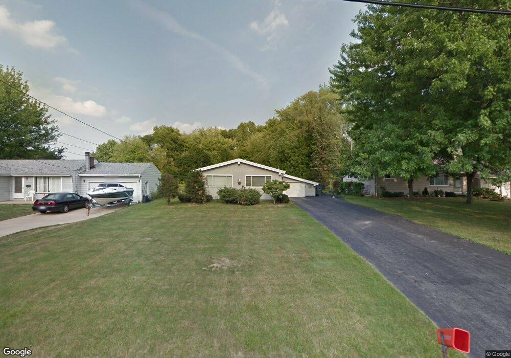
2685 Evelyn Rd Youngstown, OH 44511
Austintown NeighborhoodEstimated Value: $149,487 - $171,000
3
Beds
2
Baths
1,232
Sq Ft
$132/Sq Ft
Est. Value
About This Home
This home is located at 2685 Evelyn Rd, Youngstown, OH 44511 and is currently estimated at $162,622, approximately $131 per square foot. 2685 Evelyn Rd is a home located in Mahoning County with nearby schools including Austintown Elementary School, Austintown Intermediate School, and Austintown Middle School.
Ownership History
Date
Name
Owned For
Owner Type
Purchase Details
Closed on
Aug 23, 2005
Sold by
Wyant Robert W and Wyant Patricia A
Bought by
Chabot Margon
Current Estimated Value
Home Financials for this Owner
Home Financials are based on the most recent Mortgage that was taken out on this home.
Original Mortgage
$79,500
Interest Rate
5.38%
Mortgage Type
Fannie Mae Freddie Mac
Purchase Details
Closed on
Mar 23, 1990
Bought by
Wyant Robt W and Wyant Patricia
Create a Home Valuation Report for This Property
The Home Valuation Report is an in-depth analysis detailing your home's value as well as a comparison with similar homes in the area
Home Values in the Area
Average Home Value in this Area
Purchase History
| Date | Buyer | Sale Price | Title Company |
|---|---|---|---|
| Chabot Margon | $89,500 | -- | |
| Wyant Robt W | $54,000 | -- |
Source: Public Records
Mortgage History
| Date | Status | Borrower | Loan Amount |
|---|---|---|---|
| Closed | Chabot Margon | $79,500 |
Source: Public Records
Tax History Compared to Growth
Tax History
| Year | Tax Paid | Tax Assessment Tax Assessment Total Assessment is a certain percentage of the fair market value that is determined by local assessors to be the total taxable value of land and additions on the property. | Land | Improvement |
|---|---|---|---|---|
| 2024 | $1,794 | $39,160 | $7,660 | $31,500 |
| 2023 | $1,765 | $39,160 | $7,660 | $31,500 |
| 2022 | $1,575 | $28,000 | $6,320 | $21,680 |
| 2021 | $1,575 | $28,000 | $6,320 | $21,680 |
| 2020 | $1,582 | $28,000 | $6,320 | $21,680 |
| 2019 | $1,473 | $23,730 | $5,360 | $18,370 |
| 2018 | $1,417 | $23,730 | $5,360 | $18,370 |
| 2017 | $1,476 | $23,730 | $5,360 | $18,370 |
| 2016 | $1,538 | $25,560 | $5,670 | $19,890 |
| 2015 | $1,491 | $25,560 | $5,670 | $19,890 |
| 2014 | $1,498 | $25,560 | $5,670 | $19,890 |
| 2013 | $1,482 | $25,560 | $5,670 | $19,890 |
Source: Public Records
Map
Nearby Homes
- 2699 Hamman Dr
- 40 Woodleigh Ct
- 4289 Wedgewood Dr
- 4241 Wedgewood Dr
- 2500 Redgate Ln
- 3913 Claridge Dr
- 2430 Redgate Ln
- 4314 Kerrybrook Dr
- 4235 Patricia Ave
- 3300 Briarwood Ln
- 2414 Ardenwood Place
- 2493 Frostwood Dr
- 3852 Edinburgh Dr
- 3890 Ayrshire Dr
- 4674 Barrington Dr
- 3662 Monaca Ave
- 3401 Susan Cir
- 2388 Innwood Dr
- 4262 Pembrook Rd
- 3798 S Raccoon Rd