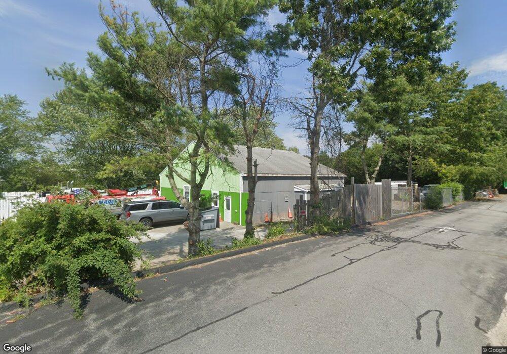
2688 Cranberry Hwy Wareham, MA 02571
Estimated Value: $674,853
1
Bed
2
Baths
2,500
Sq Ft
$270/Sq Ft
Est. Value
About This Home
This home is located at 2688 Cranberry Hwy, Wareham, MA 02571 and is currently estimated at $674,853, approximately $269 per square foot. 2688 Cranberry Hwy is a home located in Plymouth County.
Ownership History
Date
Name
Owned For
Owner Type
Purchase Details
Closed on
Nov 23, 1999
Sold by
Bedard Edward F
Bought by
Whitney Marc H
Current Estimated Value
Home Financials for this Owner
Home Financials are based on the most recent Mortgage that was taken out on this home.
Original Mortgage
$112,500
Outstanding Balance
$34,371
Interest Rate
7.76%
Mortgage Type
Commercial
Estimated Equity
$640,482
Create a Home Valuation Report for This Property
The Home Valuation Report is an in-depth analysis detailing your home's value as well as a comparison with similar homes in the area
Home Values in the Area
Average Home Value in this Area
Purchase History
| Date | Buyer | Sale Price | Title Company |
|---|---|---|---|
| Whitney Marc H | $175,000 | -- | |
| Whitney Marc H | $175,000 | -- |
Source: Public Records
Mortgage History
| Date | Status | Borrower | Loan Amount |
|---|---|---|---|
| Open | Whitney Marc H | $112,500 | |
| Closed | Whitney Marc H | $112,500 |
Source: Public Records
Tax History Compared to Growth
Tax History
| Year | Tax Paid | Tax Assessment Tax Assessment Total Assessment is a certain percentage of the fair market value that is determined by local assessors to be the total taxable value of land and additions on the property. | Land | Improvement |
|---|---|---|---|---|
| 2025 | $2,739 | $262,900 | $162,900 | $100,000 |
| 2024 | $2,298 | $204,600 | $127,400 | $77,200 |
| 2023 | $2,693 | $204,600 | $127,400 | $77,200 |
| 2022 | $2,693 | $204,300 | $127,400 | $76,900 |
| 2021 | $2,748 | $204,300 | $127,400 | $76,900 |
| 2020 | $2,709 | $204,300 | $127,400 | $76,900 |
| 2019 | $2,289 | $172,200 | $121,500 | $50,700 |
| 2018 | $2,347 | $172,200 | $121,500 | $50,700 |
| 2017 | $2,343 | $174,200 | $121,500 | $52,700 |
| 2016 | $2,357 | $174,200 | $121,500 | $52,700 |
| 2015 | $2,277 | $174,200 | $121,500 | $52,700 |
| 2014 | $2,486 | $193,500 | $132,700 | $60,800 |
Source: Public Records
Map
Nearby Homes
- 125 Jeffreys Path
- 2731 Cranberry Hwy
- 6 Back St
- 24 Kimberly Ct
- 13 Cherry St
- 50 Avenue A St
- 6 Gilbert Way
- 110 Mayflower Ridge Dr
- 2596 Cranberry Hwy
- 2783 Cranberry Hwy
- 12 Linwood Ave
- 5 Oak Hill Rd
- 51 Minot Ave Unit 1
- 425 Main St Unit E
- 437 Main St
- 3 Cedar St
- 2838 Cranberry Hwy
- 39 Highland Rd
- 10 Nimrod Way
- 124 Minot Ave Unit 1
- 2696 Cranberry Hwy
- 2703 Cranberry Hwy
- 33 Willard St
- 2681 Cranberry Hwy
- 18 Spruce St
- 0 Sandusky Dr Unit U-C1
- 19 Spruce St
- 32 Sandusky Dr
- 16 Spruce St
- 35 Willard St
- 2683 Cranberry Hwy
- 2683 Cranberry Hwy
- 13 Spruce St
- 2677 Cranberry Hwy
- 1 Pheasant Ave
- 16 Fall St
- 2711 Cranberry Hwy
- 2701 Cranberry Hwy
- 2701 Cranberry Hwy
- 3 Pheasant Ave