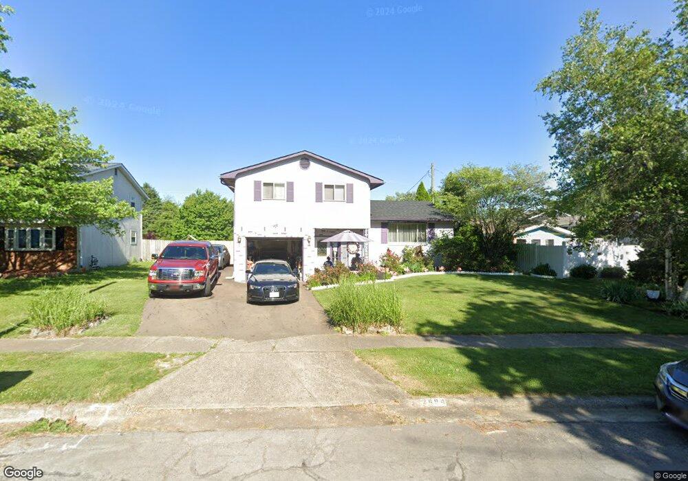
2694 Brownfield Rd Columbus, OH 43232
Walnut Heights NeighborhoodEstimated Value: $217,000 - $238,873
3
Beds
3
Baths
1,504
Sq Ft
$151/Sq Ft
Est. Value
About This Home
This home is located at 2694 Brownfield Rd, Columbus, OH 43232 and is currently estimated at $227,468, approximately $151 per square foot. 2694 Brownfield Rd is a home located in Franklin County with nearby schools including Liberty Elementary School, Yorktown Middle School, and Independence High School.
Ownership History
Date
Name
Owned For
Owner Type
Purchase Details
Closed on
Sep 9, 1997
Sold by
Hicks Alfred E and Hicks Dolores A
Bought by
Johnson Stanley E
Current Estimated Value
Home Financials for this Owner
Home Financials are based on the most recent Mortgage that was taken out on this home.
Original Mortgage
$76,687
Outstanding Balance
$11,853
Interest Rate
7.44%
Mortgage Type
FHA
Estimated Equity
$215,615
Create a Home Valuation Report for This Property
The Home Valuation Report is an in-depth analysis detailing your home's value as well as a comparison with similar homes in the area
Home Values in the Area
Average Home Value in this Area
Purchase History
| Date | Buyer | Sale Price | Title Company |
|---|---|---|---|
| Johnson Stanley E | $77,000 | Amerititle East |
Source: Public Records
Mortgage History
| Date | Status | Borrower | Loan Amount |
|---|---|---|---|
| Open | Johnson Stanley E | $76,687 |
Source: Public Records
Tax History Compared to Growth
Tax History
| Year | Tax Paid | Tax Assessment Tax Assessment Total Assessment is a certain percentage of the fair market value that is determined by local assessors to be the total taxable value of land and additions on the property. | Land | Improvement |
|---|---|---|---|---|
| 2024 | $3,059 | $68,150 | $20,620 | $47,530 |
| 2023 | $3,019 | $68,145 | $20,615 | $47,530 |
| 2022 | $1,857 | $35,810 | $7,700 | $28,110 |
| 2021 | $1,861 | $35,810 | $7,700 | $28,110 |
| 2020 | $1,863 | $35,810 | $7,700 | $28,110 |
| 2019 | $1,782 | $29,370 | $6,440 | $22,930 |
| 2018 | $1,734 | $29,370 | $6,440 | $22,930 |
| 2017 | $1,781 | $29,370 | $6,440 | $22,930 |
| 2016 | $1,862 | $28,110 | $5,290 | $22,820 |
| 2015 | $1,690 | $28,110 | $5,290 | $22,820 |
| 2014 | $1,694 | $28,110 | $5,290 | $22,820 |
| 2013 | $928 | $31,220 | $5,880 | $25,340 |
Source: Public Records
Map
Nearby Homes
- 2651 Brownfield Rd
- 5278 Glenbriar Ct
- 2705 Denmark Rd
- 5268 Carbondale Dr
- 2730 Raphael Dr
- 5114 Carbondale Dr
- 5011 Refugee Rd
- 2736 Barrows Rd
- 2744 Barrows Rd
- 2447 Maybury Rd
- 5377 Bleaker Ave
- 5061 Labelle Dr
- 5123 Jameson Dr
- 5373 Spire Ln
- 5401 Spire Ln
- 5144 Botsford Dr
- 2998 Osgood Rd E
- 2615 Carbondale Place
- 5125 Upton Rd N
- 2991 Blue Moon Dr
- 2686 Brownfield Rd
- 5262 Lindora Dr
- 2706 Brownfield Rd
- 2678 Brownfield Rd
- 2705 Dellworth St
- 2713 Dellworth St
- 2695 Dellworth St
- 2723 Dellworth St
- 2687 Dellworth St
- 2707 Brownfield Rd
- 2685 Brownfield Rd
- 2695 Brownfield Rd
- 2679 Dellworth St
- 2675 Brownfield Rd
- 2662 Brownfield Rd
- 5226 Lindora Dr
- 2671 Dellworth St
- 2667 Brownfield Rd
- 5251 Lindora Dr
- 5259 Lindora Dr