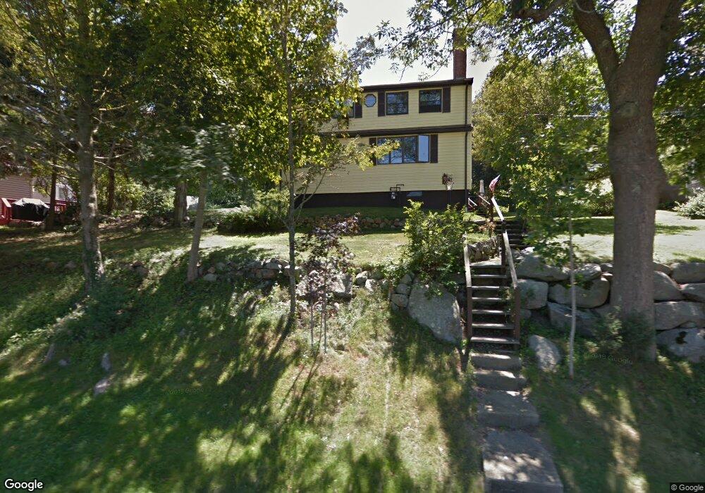
27 1/2 Gee Ave Gloucester, MA 01930
Estimated Value: $588,000 - $756,000
1
Bed
3
Baths
1,152
Sq Ft
$562/Sq Ft
Est. Value
About This Home
This home is located at 27 1/2 Gee Ave, Gloucester, MA 01930 and is currently estimated at $647,514, approximately $562 per square foot. 27 1/2 Gee Ave is a home located in Essex County with nearby schools including Beeman Memorial, Ralph B O'maley Middle School, and Gloucester High School.
Ownership History
Date
Name
Owned For
Owner Type
Purchase Details
Closed on
Sep 4, 2024
Sold by
Morse Cynthia L and Morse John R
Bought by
John R & C Lee Morse Lt and Morse
Current Estimated Value
Purchase Details
Closed on
Jul 31, 2023
Sold by
Mollies Ln Tof 1999 and Fisher
Bought by
Morse Cynthia L and Morse John R
Home Financials for this Owner
Home Financials are based on the most recent Mortgage that was taken out on this home.
Original Mortgage
$300,000
Interest Rate
7.25%
Mortgage Type
Purchase Money Mortgage
Purchase Details
Closed on
Aug 21, 2012
Sold by
Noble William O and Noble Dorothy A
Bought by
Noble Dorothy A
Purchase Details
Closed on
Dec 1, 1968
Bought by
Noble Dorothy A
Create a Home Valuation Report for This Property
The Home Valuation Report is an in-depth analysis detailing your home's value as well as a comparison with similar homes in the area
Purchase History
| Date | Buyer | Sale Price | Title Company |
|---|---|---|---|
| John R & C Lee Morse Lt | -- | None Available | |
| John R & C Lee Morse Lt | -- | None Available | |
| Morse Cynthia L | $350,000 | None Available | |
| Noble Dorothy A | -- | -- | |
| Noble Dorothy A | -- | -- | |
| Noble Dorothy A | -- | -- |
Source: Public Records
Mortgage History
| Date | Status | Borrower | Loan Amount |
|---|---|---|---|
| Previous Owner | Morse Cynthia L | $300,000 |
Source: Public Records
Tax History
| Year | Tax Paid | Tax Assessment Tax Assessment Total Assessment is a certain percentage of the fair market value that is determined by local assessors to be the total taxable value of land and additions on the property. | Land | Improvement |
|---|---|---|---|---|
| 2025 | $4,482 | $461,100 | $185,800 | $275,300 |
| 2024 | $4,453 | $457,700 | $176,900 | $280,800 |
| 2023 | $4,327 | $408,600 | $157,900 | $250,700 |
| 2022 | $3,962 | $337,800 | $137,400 | $200,400 |
| 2021 | $3,985 | $320,300 | $124,900 | $195,400 |
| 2020 | $3,879 | $314,600 | $124,900 | $189,700 |
| 2019 | $3,811 | $300,300 | $124,900 | $175,400 |
| 2018 | $3,711 | $287,000 | $124,900 | $162,100 |
| 2017 | $3,574 | $271,000 | $118,900 | $152,100 |
| 2016 | $3,555 | $261,200 | $124,100 | $137,100 |
| 2015 | $3,448 | $252,600 | $124,100 | $128,500 |
Source: Public Records
Map
Nearby Homes
- 3 Deacon Farm Ln
- 31 Echo Ave
- 2 Breezy Point Rd
- 672 Washington St
- 13 Honeysuckle Rd
- 13 Mystic Ave
- 8 Mystic Ave
- 98 Maplewood Ave
- 6 Monroe Ct
- 12 Arthur St
- 167 Atlantic St
- 9 Cleveland Place
- 40 Sargent St
- 178 Atlantic St
- 226 Atlantic St
- 19 Trask St Unit 2
- 50 Warner St
- 113 Pleasant St
- 33 Maplewood Ave Unit 310
- 15 Mount Vernon St
Your Personal Tour Guide
Ask me questions while you tour the home.