27 A L Stetson Rd Heath, MA 01346
Heath NeighborhoodEstimated Value: $108,000 - $329,000
3
Beds
1
Bath
1,920
Sq Ft
$111/Sq Ft
Est. Value
About This Home
This home is located at 27 A L Stetson Rd, Heath, MA 01346 and is currently estimated at $212,216, approximately $110 per square foot. 27 A L Stetson Rd is a home with nearby schools including Mohawk Trail Regional High School.
Ownership History
Date
Name
Owned For
Owner Type
Purchase Details
Closed on
Jun 16, 2025
Sold by
Turner Gerald L and Turner Angie
Bought by
Bridwell J B J and Bridwell Miriam B
Current Estimated Value
Purchase Details
Closed on
Jul 28, 2015
Sold by
Wilson Gretchen A
Bought by
Wilson James H
Purchase Details
Closed on
Feb 16, 1999
Sold by
Crowninshield F A
Bought by
Turner Gerald L and Turner Ansie
Create a Home Valuation Report for This Property
The Home Valuation Report is an in-depth analysis detailing your home's value as well as a comparison with similar homes in the area
Home Values in the Area
Average Home Value in this Area
Purchase History
| Date | Buyer | Sale Price | Title Company |
|---|---|---|---|
| Bridwell J B J | $105,000 | None Available | |
| Bridwell J B J | $105,000 | None Available | |
| Wilson James H | -- | -- | |
| Wilson James H | -- | -- | |
| Turner Gerald L | $2,000 | -- | |
| Turner Gerald L | $2,000 | -- |
Source: Public Records
Mortgage History
| Date | Status | Borrower | Loan Amount |
|---|---|---|---|
| Previous Owner | Turner Gerald L | $131,000 | |
| Previous Owner | Turner Gerald L | $90,000 |
Source: Public Records
Tax History Compared to Growth
Tax History
| Year | Tax Paid | Tax Assessment Tax Assessment Total Assessment is a certain percentage of the fair market value that is determined by local assessors to be the total taxable value of land and additions on the property. | Land | Improvement |
|---|---|---|---|---|
| 2025 | $3,222 | $171,300 | $32,300 | $139,000 |
| 2024 | $3,453 | $169,000 | $28,900 | $140,100 |
| 2023 | $3,606 | $157,600 | $21,300 | $136,300 |
| 2022 | $3,356 | $156,000 | $21,300 | $134,700 |
| 2021 | $2,968 | $131,800 | $21,300 | $110,500 |
| 2020 | $2,928 | $131,600 | $20,400 | $111,200 |
| 2019 | $2,886 | $133,600 | $20,800 | $112,800 |
| 2018 | $2,914 | $133,600 | $20,800 | $112,800 |
| 2017 | $2,741 | $130,600 | $20,800 | $109,800 |
| 2016 | $2,693 | $131,300 | $20,800 | $110,500 |
| 2015 | $2,639 | $132,200 | $20,800 | $111,400 |
Source: Public Records
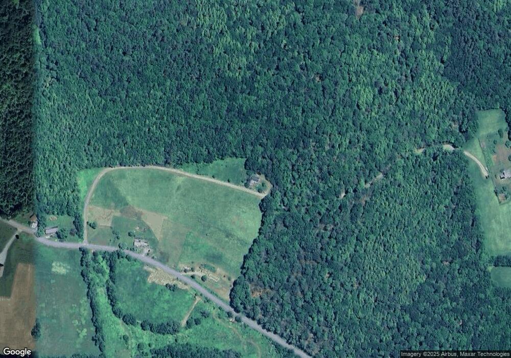
Map
Nearby Homes
- 594 Massachusetts 8a
- 442 Mcmillan Rd
- 61 Ed Clark Rd
- 6 Chippewa Dr
- 1192 Chapel Hill Rd
- 2173 Vermont 8a
- 251 Phillips Hill Rd
- 1154 Vermont 8a
- 139 Taylor Brook Rd
- 829 Pennel Hill Rd
- 32 Navaho Ln
- 14 South Rd
- 60 Stone Hill Rd
- Lot 121 Davis Mine Rd
- 380 Smith Rd
- 4668 Vermont 112
- 104 Karen Day Rd
- 1917 Stowe Mountain Rd
- 1587 Upper Holbrook Rd
- 0 Jacksonville Rd
- 122 W Branch Rd
- 114 W Branch Rd
- 612 Route 8a
- 562 Route 8a
- 25 W Branch Rd
- 13 W Branch Rd
- 13 W Branch Rd
- 250 Route 8a N
- 0 Sadoga Rd
- 260 Route 8a N
- 574 Route 8a
- 0 Sadoga Rd Unit 70479764
- 0 Sadoga Rd Unit 70069223
- 0 Sadoga Rd Unit 70591639
- 0 Sadoga Rd Unit 30437502
- 0 Sadoga Rd Unit 72489715
- 12 Sadoga Rd
- 223 Route 8a N
- 93 Route 8a N