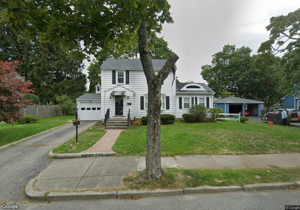
27 Fernwood Rd Unit 1 West Newton, MA 02465
West Newton NeighborhoodEstimated Value: $1,057,000 - $1,171,000
3
Beds
2
Baths
2,000
Sq Ft
$551/Sq Ft
Est. Value
About This Home
This home is located at 27 Fernwood Rd Unit 1, West Newton, MA 02465 and is currently estimated at $1,102,316, approximately $551 per square foot. 27 Fernwood Rd Unit 1 is a home located in Middlesex County with nearby schools including C.C. Burr, F.A. Day Middle School, and Newton North High School.
Ownership History
Date
Name
Owned For
Owner Type
Purchase Details
Closed on
Jul 19, 2024
Sold by
Ho Edmond S and Lee Cynthia L
Bought by
Lauren Lee & Edmond Ho Ft and Lee
Current Estimated Value
Purchase Details
Closed on
Apr 2, 2013
Sold by
Kelloway Bertha G Est
Bought by
Ho Edmond S and Lee Cynthia L
Home Financials for this Owner
Home Financials are based on the most recent Mortgage that was taken out on this home.
Original Mortgage
$372,800
Interest Rate
3%
Mortgage Type
New Conventional
Create a Home Valuation Report for This Property
The Home Valuation Report is an in-depth analysis detailing your home's value as well as a comparison with similar homes in the area
Home Values in the Area
Average Home Value in this Area
Purchase History
| Date | Buyer | Sale Price | Title Company |
|---|---|---|---|
| Lauren Lee & Edmond Ho Ft | -- | None Available | |
| Lauren Lee & Edmond Ho Ft | -- | None Available | |
| Ho Edmond S | $466,000 | -- | |
| Ho Edmond S | $466,000 | -- |
Source: Public Records
Mortgage History
| Date | Status | Borrower | Loan Amount |
|---|---|---|---|
| Previous Owner | Ho Edmond S | $372,800 |
Source: Public Records
Tax History Compared to Growth
Tax History
| Year | Tax Paid | Tax Assessment Tax Assessment Total Assessment is a certain percentage of the fair market value that is determined by local assessors to be the total taxable value of land and additions on the property. | Land | Improvement |
|---|---|---|---|---|
| 2025 | $8,802 | $898,200 | $778,200 | $120,000 |
| 2024 | $8,511 | $872,000 | $755,500 | $116,500 |
| 2023 | $8,066 | $792,300 | $571,100 | $221,200 |
| 2022 | $7,717 | $733,600 | $528,800 | $204,800 |
| 2021 | $7,447 | $692,100 | $498,900 | $193,200 |
| 2020 | $7,226 | $692,100 | $498,900 | $193,200 |
| 2019 | $7,021 | $671,900 | $484,400 | $187,500 |
| 2018 | $6,675 | $616,900 | $440,400 | $176,500 |
| 2017 | $6,472 | $582,000 | $415,500 | $166,500 |
| 2016 | $6,190 | $543,900 | $388,300 | $155,600 |
| 2015 | $5,901 | $508,300 | $362,900 | $145,400 |
Source: Public Records
Map
Nearby Homes
- 10 Crescent St Unit 1
- 10 Crescent St Unit 2
- 17 Crescent St
- 90 Auburndale Ave
- 160 Pine St Unit 12
- 42 Evergreen Cir
- 62-64 Rowe St Unit B
- 33 Lill Ave
- 212 River St Unit 2
- 13 Weir St
- 0 Duncan Rd Unit 72925240
- 2 Elm St Unit 6
- 2 Elm St Unit 8
- 106 River St Unit 18
- 106 River St Unit 2
- 106 River St Unit 14
- 51 Bourne St
- 265-267 River St Unit 267
- 265-267 River St Unit 265
- 371 Cherry St
- 27 Fernwood Rd
- 27 Fernwood Rd Unit 27
- 33 Fernwood Rd
- 20 Murray Rd
- 20 Murray Rd Unit 2
- 16 Murray Rd
- 17 Fernwood Rd
- 24 Murray Rd
- 39 Fernwood Rd Unit 41
- 39 Fernwood Rd Unit U
- 39 Fernwood Rd Unit 2
- 39 Fernwood Rd Unit 1
- 22 Fernwood Rd
- 12 Murray Rd
- 66 Stratford Rd
- 41 Fernwood Rd Unit 41
- 30 Murray Rd
- 16 Fernwood Rd
- 15 Murray Rd
- 40 Fernwood Rd