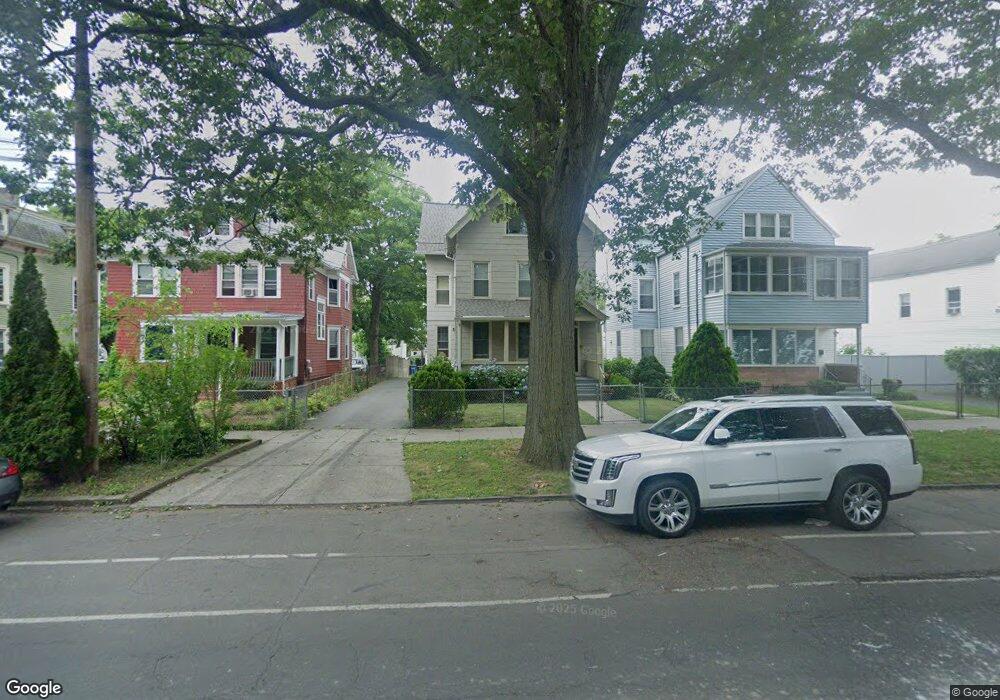
270 Howard Ave New Haven, CT 06519
The Hill NeighborhoodEstimated Value: $379,349 - $610,000
7
Beds
4
Baths
3,782
Sq Ft
$136/Sq Ft
Est. Value
About This Home
This home is located at 270 Howard Ave, New Haven, CT 06519 and is currently estimated at $514,087, approximately $135 per square foot. 270 Howard Ave is a home located in New Haven County with nearby schools including St Martin De Porres Academy.
Ownership History
Date
Name
Owned For
Owner Type
Purchase Details
Closed on
Dec 11, 1995
Sold by
Neighborhood Hsng Svcs
Bought by
Morrison Fitz O and Morrison Cheryl D
Current Estimated Value
Home Financials for this Owner
Home Financials are based on the most recent Mortgage that was taken out on this home.
Original Mortgage
$104,800
Interest Rate
7.44%
Mortgage Type
Unknown
Create a Home Valuation Report for This Property
The Home Valuation Report is an in-depth analysis detailing your home's value as well as a comparison with similar homes in the area
Home Values in the Area
Average Home Value in this Area
Purchase History
| Date | Buyer | Sale Price | Title Company |
|---|---|---|---|
| Morrison Fitz O | $132,500 | -- |
Source: Public Records
Mortgage History
| Date | Status | Borrower | Loan Amount |
|---|---|---|---|
| Open | Morrison Fitz O | $156,217 | |
| Closed | Morrison Fitz O | $165,000 | |
| Closed | Morrison Fitz O | $30,000 | |
| Closed | Morrison Fitz O | $104,800 | |
| Closed | Morrison Fitz O | $30,000 |
Source: Public Records
Tax History Compared to Growth
Tax History
| Year | Tax Paid | Tax Assessment Tax Assessment Total Assessment is a certain percentage of the fair market value that is determined by local assessors to be the total taxable value of land and additions on the property. | Land | Improvement |
|---|---|---|---|---|
| 2025 | $8,332 | $211,470 | $22,260 | $189,210 |
| 2024 | $8,142 | $211,470 | $22,260 | $189,210 |
| 2023 | $7,867 | $211,470 | $22,260 | $189,210 |
| 2022 | $8,406 | $211,470 | $22,260 | $189,210 |
| 2021 | $5,495 | $125,230 | $19,180 | $106,050 |
| 2020 | $5,415 | $123,410 | $19,180 | $104,230 |
| 2019 | $5,304 | $123,410 | $19,180 | $104,230 |
| 2018 | $5,304 | $123,410 | $19,180 | $104,230 |
| 2017 | $4,773 | $123,410 | $19,180 | $104,230 |
| 2016 | $4,092 | $98,490 | $12,180 | $86,310 |
| 2015 | $4,092 | $98,490 | $12,180 | $86,310 |
| 2014 | $4,092 | $98,490 | $12,180 | $86,310 |
Source: Public Records
Map
Nearby Homes
- 77 3rd St
- 72 4th St
- 133 Plymouth St
- 211 Kimberly Ave
- 148 Plymouth St
- 26 Lamberton St
- 134 Greenwich Ave
- 23 Dewitt St
- 152 Lamberton St
- 301 Harbour Close Unit 203
- 51 Arthur St
- 300 Harbour Close Unit R
- 126 Rosette St
- 55 Hurlburt St
- 127 Harbour Close Unit 127
- 74 Harbour Close Unit 74
- 25 Liberty St Unit E
- 33 Liberty St Unit M
- 46 Liberty St
- 28 Salem St
- 274 Howard Ave
- 264 Howard Ave
- 278 Howard Ave
- 260 Howard Ave
- 260 Howard Ave Unit 1
- 68 2nd St
- 66 2nd St
- 78 2nd St
- 254 Howard Ave
- 353 Greenwich Ave
- 80 2nd St
- 351 Greenwich Ave
- 343 Greenwich Ave
- 84 2nd St
- 355 Greenwich Ave
- 355 Greenwich Ave Unit 1
- 355 Greenwich Ave Unit 2
- 288 Howard Ave
- 248 Howard Ave
- 337 Greenwich Ave