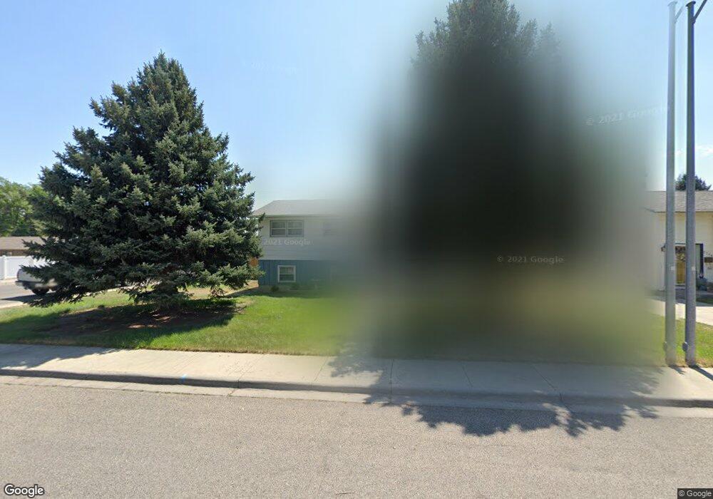
2702 Howard Ave Billings, MT 59102
West End NeighborhoodEstimated Value: $334,000 - $361,000
4
Beds
2
Baths
1,392
Sq Ft
$249/Sq Ft
Est. Value
About This Home
This home is located at 2702 Howard Ave, Billings, MT 59102 and is currently estimated at $346,651, approximately $249 per square foot. 2702 Howard Ave is a home located in Yellowstone County with nearby schools including Meadowlark School, Will James Junior High School, and Billings West High School.
Ownership History
Date
Name
Owned For
Owner Type
Purchase Details
Closed on
Nov 14, 2025
Sold by
Zundel Scott
Bought by
Brown Trevor Ian
Current Estimated Value
Home Financials for this Owner
Home Financials are based on the most recent Mortgage that was taken out on this home.
Original Mortgage
$352,900
Outstanding Balance
$352,900
Interest Rate
4%
Mortgage Type
VA
Estimated Equity
-$6,249
Purchase Details
Closed on
Mar 5, 2020
Sold by
Marts Megan M
Bought by
Zundal Scott
Home Financials for this Owner
Home Financials are based on the most recent Mortgage that was taken out on this home.
Original Mortgage
$303,136
Interest Rate
3.6%
Mortgage Type
Commercial
Purchase Details
Closed on
Aug 17, 2010
Sold by
Marts David W
Bought by
Marts Megan M
Create a Home Valuation Report for This Property
The Home Valuation Report is an in-depth analysis detailing your home's value as well as a comparison with similar homes in the area
Home Values in the Area
Average Home Value in this Area
Purchase History
| Date | Buyer | Sale Price | Title Company |
|---|---|---|---|
| Brown Trevor Ian | -- | First Montana Title Company | |
| Zundal Scott | -- | First Montana Title Co | |
| Marts Megan M | -- | None Available |
Source: Public Records
Mortgage History
| Date | Status | Borrower | Loan Amount |
|---|---|---|---|
| Open | Brown Trevor Ian | $352,900 | |
| Previous Owner | Zundal Scott | $303,136 |
Source: Public Records
Tax History Compared to Growth
Tax History
| Year | Tax Paid | Tax Assessment Tax Assessment Total Assessment is a certain percentage of the fair market value that is determined by local assessors to be the total taxable value of land and additions on the property. | Land | Improvement |
|---|---|---|---|---|
| 2025 | $2,822 | $308,800 | $46,271 | $262,529 |
| 2024 | $2,822 | $281,700 | $46,671 | $235,029 |
| 2023 | $2,822 | $281,700 | $46,671 | $235,029 |
| 2022 | $2,427 | $211,400 | $0 | $0 |
| 2021 | $2,309 | $211,400 | $0 | $0 |
| 2020 | $2,352 | $205,800 | $0 | $0 |
| 2019 | $2,358 | $216,800 | $0 | $0 |
| 2018 | $2,148 | $191,700 | $0 | $0 |
| 2017 | $2,091 | $191,700 | $0 | $0 |
| 2016 | $1,970 | $181,900 | $0 | $0 |
| 2015 | $1,929 | $181,900 | $0 | $0 |
| 2014 | $1,708 | $84,694 | $0 | $0 |
Source: Public Records
Map
Nearby Homes
- 2640 Terry Ave
- 2636 Custer Ave
- 2645 Custer Ave
- 2930 Lynn Ave
- 2422 Miles Ave
- 2620 Yellowstone Ave
- 2540 Yellowstone Ave
- 2900 Manhattan Dr
- 2537 Clark Ave
- 909 Maywood Dr
- 0 Wyatt Cir Unit 356590
- 915 Maywood Dr
- 2305 Miles Ave
- 3087 Hunters Ridge Loop
- 371 W Daffodil Dr
- 260 Brookshire Blvd
- 2546 Burlington Ave
- 3136 Saint Johns Ave
- 3142 Saint Johns Ave
- 2131 Hewitt Dr
- 2708 Howard Ave
- 2640 Howard Ave
- 2705 Cook Ave
- 2709 Cook Ave
- 2701 Howard Ave
- 2645 Cook Ave
- 2715 Cook Ave
- 2707 Howard Ave
- 2636 Howard Ave
- 2718 Howard Ave
- 2639 Howard Ave
- 2711 Howard Ave
- 2641 Cook Ave
- 2719 Cook Ave
- 2632 Howard Ave
- 2635 Howard Ave
- 2717 Howard Ave
- 2724 Howard Ave
- 2637 Cook Ave
- 2725 Cook Ave