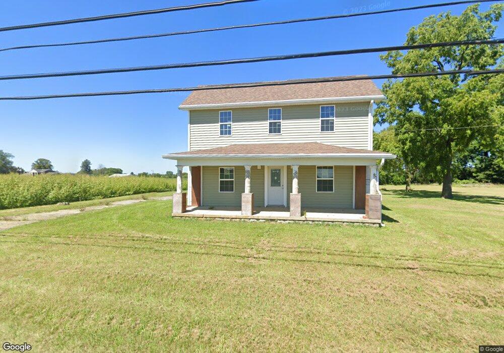
2724 Moorefield Rd Springfield, OH 45502
Estimated Value: $182,000 - $244,032
4
Beds
3
Baths
1,728
Sq Ft
$125/Sq Ft
Est. Value
About This Home
This home is located at 2724 Moorefield Rd, Springfield, OH 45502 and is currently estimated at $215,508, approximately $124 per square foot. 2724 Moorefield Rd is a home located in Clark County with nearby schools including Northridge Elementary School, Kenton Ridge Middle & High School, and Emmanuel Christian Academy.
Ownership History
Date
Name
Owned For
Owner Type
Purchase Details
Closed on
Nov 22, 2016
Sold by
Thompson Melissa M and Thompson Dale M
Bought by
Divens Timothy K
Current Estimated Value
Purchase Details
Closed on
Oct 29, 2015
Sold by
Green Misty Dawn
Bought by
Thompson Melissa M
Purchase Details
Closed on
Nov 4, 2011
Sold by
Leffel Harry R and Leffel Teresa J
Bought by
Green Misty Dawn
Purchase Details
Closed on
Aug 22, 2011
Sold by
Capsouth Fund Vii
Bought by
Leffel Harry R and Leffel Teresa A
Purchase Details
Closed on
Jun 18, 2009
Sold by
Brim Lecia Merie and Citi Group Global Markets Real
Bought by
Capsouth Fund Vii
Purchase Details
Closed on
Sep 13, 2005
Sold by
Snyder Darlene L
Bought by
Brim Charles Merle and Brim Lecia Marie
Create a Home Valuation Report for This Property
The Home Valuation Report is an in-depth analysis detailing your home's value as well as a comparison with similar homes in the area
Home Values in the Area
Average Home Value in this Area
Purchase History
| Date | Buyer | Sale Price | Title Company |
|---|---|---|---|
| Divens Timothy K | -- | None Available | |
| Thompson Melissa M | $26,000 | Attorney | |
| Green Misty Dawn | $80,000 | Ohio Real Estate Title | |
| Leffel Harry R | $30,000 | Ohio Real Estate Title | |
| Capsouth Fund Vii | $53,400 | None Available | |
| Brim Charles Merle | -- | -- |
Source: Public Records
Tax History
| Year | Tax Paid | Tax Assessment Tax Assessment Total Assessment is a certain percentage of the fair market value that is determined by local assessors to be the total taxable value of land and additions on the property. | Land | Improvement |
|---|---|---|---|---|
| 2025 | $4,844 | $53,370 | $18,910 | $34,460 |
| 2024 | $7,379 | $37,050 | $14,670 | $22,380 |
| 2023 | $5,453 | $37,050 | $14,670 | $22,380 |
| 2022 | $15,087 | $37,050 | $14,670 | $22,380 |
| 2021 | $2,749 | $30,360 | $12,020 | $18,340 |
| 2020 | $1,557 | $30,360 | $12,020 | $18,340 |
| 2019 | $1,586 | $30,360 | $12,020 | $18,340 |
| 2018 | $1,418 | $26,030 | $11,130 | $14,900 |
| 2017 | $688 | $14,683 | $11,130 | $3,553 |
| 2016 | $683 | $14,683 | $11,130 | $3,553 |
| 2015 | $694 | $14,378 | $11,130 | $3,248 |
| 2014 | $1,440 | $30,597 | $11,130 | $19,467 |
| 2013 | $2,179 | $30,597 | $11,130 | $19,467 |
Source: Public Records
Map
Nearby Homes
- 4500 Bosart Rd
- 5060 Morris Rd
- 1977 Willoughby Ave
- 1709 Thomas Dr
- 4652 Reno Ln Unit 15
- 1836 Dunseth Ln
- 4577 Reno Ln Unit 2
- 5033 Ridgewood Rd E
- 1521 Erika Dr
- 4028 Ryland Dr Unit 4028
- 1812 Willow Lakes Dr
- 5564 Ridgewood Rd E Unit 7
- 4446 Ridgewood Rd E Unit 3
- 1495 Victorian Way
- 1921 Elaina Dr
- 1469 Victorian Way
- 1398 Elizabeth Ct Unit 66
- 4256 Midfield St Unit 9
- 1470 Oldham Dr Unit 12
- 5564 Ridgewood Rd W
- 2868 Moorefield Rd
- 2620 Moorefield Rd
- 2881 Moorefield Rd
- 2915 Moorefield Rd
- 2957 Moorefield Rd
- 2536 Moorefield Rd
- 4960 Bosart Rd
- 4928 Bosart Rd
- 4922 Bosart Rd
- 2992 Moorefield Rd
- 4914 Bosart Rd
- 2981 Moorefield Rd
- 4906 Bosart Rd
- 2497 Moorefield Rd
- 2494 Moorefield Rd
- 4880 Bosart Rd
- 4953 Bosart Rd
- 4830 Bosart Rd
- 4931 Bosart Rd
- 4911 Bosart Rd
Your Personal Tour Guide
Ask me questions while you tour the home.