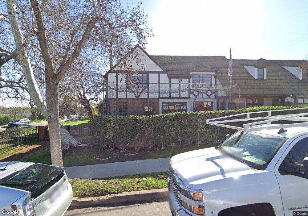
275 Nieto Ave Long Beach, CA 90803
Belmont Heights NeighborhoodEstimated Value: $2,515,000 - $3,302,060
5
Beds
4
Baths
5,001
Sq Ft
$586/Sq Ft
Est. Value
About This Home
This home is located at 275 Nieto Ave, Long Beach, CA 90803 and is currently estimated at $2,932,265, approximately $586 per square foot. 275 Nieto Ave is a home located in Los Angeles County with nearby schools including Lowell Elementary School, Rogers Middle School, and Woodrow Wilson High School.
Ownership History
Date
Name
Owned For
Owner Type
Purchase Details
Closed on
May 6, 2020
Sold by
Leaf Ronald and Leaf Jamison D
Bought by
Leaf Ronald and Leaf Jamison
Current Estimated Value
Purchase Details
Closed on
Sep 29, 1993
Sold by
Allen Billy Wayne and Allen Patricia Ann
Bought by
Leaf Ron and Leaf Jamie
Home Financials for this Owner
Home Financials are based on the most recent Mortgage that was taken out on this home.
Original Mortgage
$544,000
Interest Rate
6.88%
Create a Home Valuation Report for This Property
The Home Valuation Report is an in-depth analysis detailing your home's value as well as a comparison with similar homes in the area
Home Values in the Area
Average Home Value in this Area
Purchase History
| Date | Buyer | Sale Price | Title Company |
|---|---|---|---|
| Leaf Ronald | -- | None Available | |
| Leaf Ronald | -- | None Available | |
| Leaf Ron | $680,000 | Fidelity National Title Ins |
Source: Public Records
Mortgage History
| Date | Status | Borrower | Loan Amount |
|---|---|---|---|
| Previous Owner | Leaf Ron | $544,000 |
Source: Public Records
Tax History Compared to Growth
Tax History
| Year | Tax Paid | Tax Assessment Tax Assessment Total Assessment is a certain percentage of the fair market value that is determined by local assessors to be the total taxable value of land and additions on the property. | Land | Improvement |
|---|---|---|---|---|
| 2025 | $15,675 | $1,234,158 | $509,895 | $724,263 |
| 2024 | $15,675 | $1,209,960 | $499,898 | $710,062 |
| 2023 | $15,419 | $1,186,237 | $490,097 | $696,140 |
| 2022 | $14,478 | $1,162,979 | $480,488 | $682,491 |
| 2021 | $14,182 | $1,140,176 | $471,067 | $669,109 |
| 2019 | $13,978 | $1,106,360 | $457,096 | $649,264 |
| 2018 | $13,542 | $1,084,668 | $448,134 | $636,534 |
| 2016 | $12,424 | $1,042,551 | $430,734 | $611,817 |
| 2015 | $11,922 | $1,026,891 | $424,264 | $602,627 |
| 2014 | $11,820 | $1,017,099 | $415,954 | $601,145 |
Source: Public Records
Map
Nearby Homes
- 5120 E Livingston Dr
- 291 Argonne Ave
- 267 La Verne Ave
- 245 Covina Ave
- 221 Saint Joseph Ave
- 229 La Verne Ave
- 333 La Verne Ave
- 4741 E Colorado St
- 226 Glendora Ave
- 217 Quincy Ave Unit 2
- 260 Prospect Ave
- 4523 E 3rd St
- 385 Park Ave
- 4427 E Vista St
- 178 Saint Joseph Ave
- 176 Saint Joseph Ave
- 5564 Spinnaker Bay Dr
- 5517 China Point
- 207 Santa Ana Ave
- 164 Granada Ave
- 271 Nieto Ave
- 269 Nieto Ave
- 5133 E Vista St
- 272 Granada Ave
- 5100 E Vista St
- 267 Nieto Ave
- 268 Granada Ave
- 279 Nieto Ave
- 5115 E Vista St
- 276 Granada Ave
- 5111 E Vista St
- 265 Nieto Ave
- 266 Granada Ave
- 281 Nieto Ave
- 278 Granada Ave
- 264 Granada Ave
- 263 Nieto Ave
- 280 Granada Ave
- 285 Nieto Ave
- 262 Granada Ave